Beschreibung
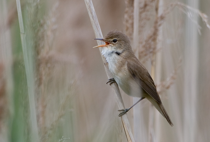
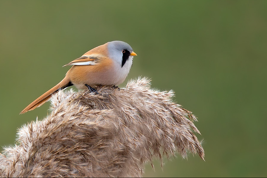
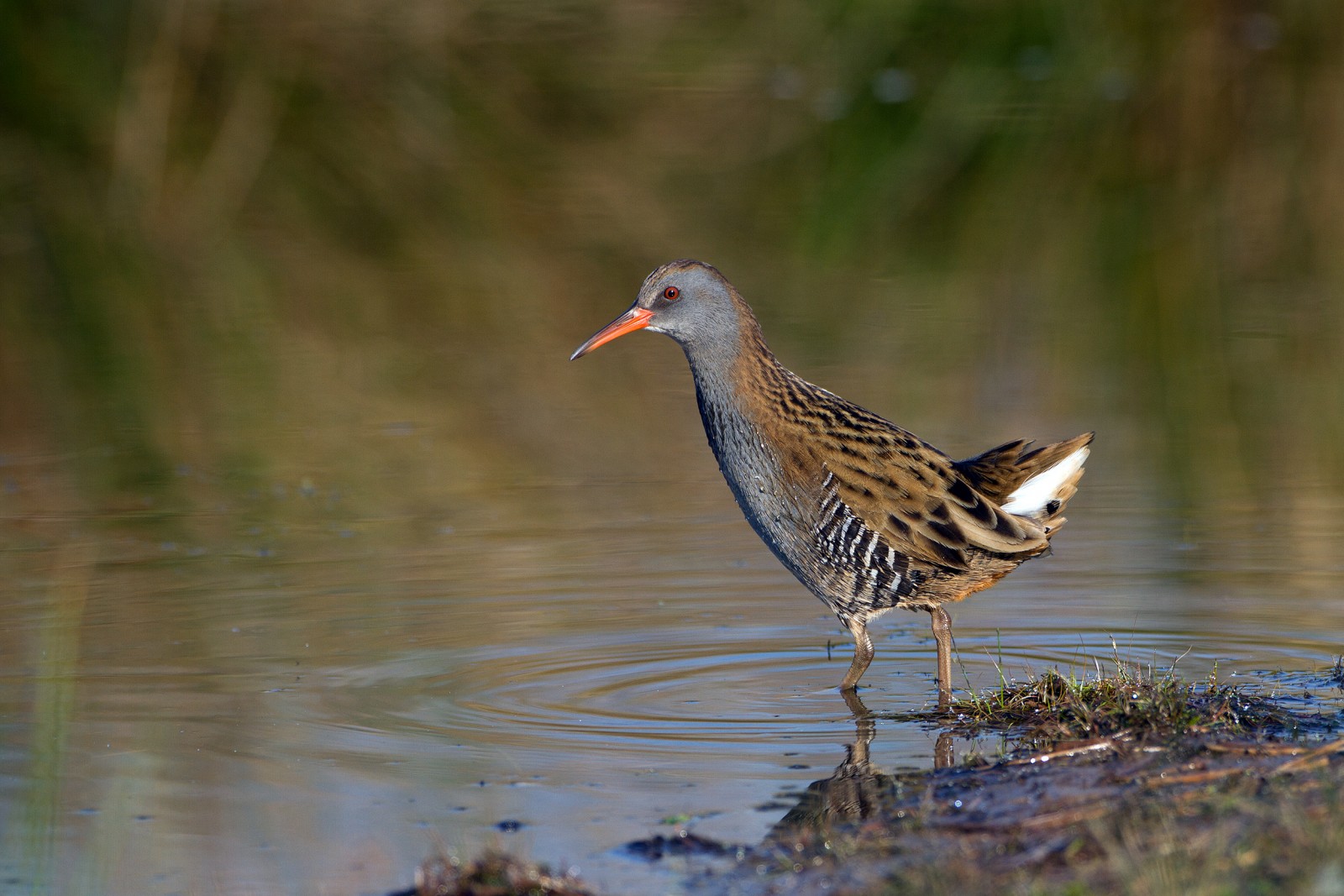
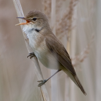
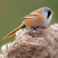
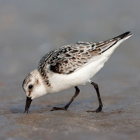
Berrow is between Burnham-on-Sea (just to the South) and Brean (to the North). Sand dune systems stretch most of the way between the two. This Berrow section includes a Golf Course, a Local Nature Reserve (at the Northern end) and a very long sandy beach giving way to mudflats further from land. Between the Golf Course and beach the area is dominated by brackish marshland with extensive areas of Sea Buckthorn (Hippophae) used to stabilise the dune system. Because of erosion in some areas DO NOT stray from worn pathways, some of which may be temporarily closed, NOTE the RIGHTS OF WAY across the golf course are clearly signed, BEWARE OF GOLF BALLS, DO NOT impede golfers when you cross over. During Autumn/Winter a large number of Wacholderdrossel and Rotdrossel feed on the Sea Buckthorn berries, Mönchsgrasmücke overwinter sometimes in large numbers, both Merlin and occasionally Sumpfohreule can be found in Winter months. Alpenstrandläufer, Großer Brachvogel, Sandregenpfeifer, Pfuhlschnepfe, Regenbrachvogel, Grünschenkel and Sanderling can be found in Winter or on Spring/Autumn Passage. Austernfischer are present year round, as well as Brandgans boosted by moulting birds in July. Steinschmätzer can be found on the golf course mostly during Spring. Offshore Skua, Schmarotzerraubmöwe, Flußseeschwalbe and Küstenseeschwalbe are often seen on passage. During Summer Klappergrasmücke, Dorngrasmücke, Schilfrohrsänger, Teichrohrsänger are present, whilst Bartmeise are still sporadically seen throughout the year.
Details
Zugang
The M5 motorway is just to the East, leave M5 at junction 22 signed Weston-S-Mare/Burnham-on-Sea/Bristol (South)/Airport or Highbridge/Burnham-on-Sea A38. Follow signs to Burnham-on-Sea/Berrow B3140, in Burnham-on-Sea follow signs to Berrow/Brean B3140. In Berrow road turns sharply to the Left, when church tower appears road bends to Right (NOTE DO NOT use Golf Course Private Car Park), continue on this road (called Coast Road) Berrow Beach Car Park (Fee Payable) is along this road on the Left (Note height restriction). There is a smaller car park (12 spaces) to the South (Press STAR on map).
Terrain und Habitat
Vereinzelte Bäume und Büsche , Feuchtgebiet , Dünen , See , Strand , Schlammflächen , Stadt/Dorf , Schilfflächen , MeerBedingungen
Flach , Sandig , Sumpfig , Rutschig , Hochwasser möglich , Offene LandschaftRundweg
JaIst ein Spektiv nützlich?
JaGute Beobachtungszeit
GanzjährigBeste Beobachtungszeit
Frühjahr , Herbst , Herbstzug , Frühjahrszug , WinterRoute
asphaltierte Straße , Normaler Weg , unbefestigte Straße , Schmaler PfadSchwierigkeitsgrad der Tour
EinfachErreichbarkeit
zu Fuß , Fahrrad , AutoBeobachtungshütten oder -türme
NeinZusätzliche Informationen
As with all Westcountry seaside locations, Berrow can be very busy during Summer months, car parks can fill up by mid morning, an early start is best.
 ) Tragen Sie die Vogelnamen in Ihrer Sprache ein. Sie werden automatisch für andere Nutzer übersetzt!