Beschreibung
Bodmin Moor is an Area of Outstanding Natural Beauty (AONB). Rough Tor at 1,313 foot and Brown Willy (from the Cornwall language 'Bronn Winnili - meaning 'Hill of Swollows') at 1,378 foot are Cornwall's two highest points. During good weather in Summer it can become moderately busy. Make no mistake during bad weather and especially during Winter it is a bleak place, it is Cornwall's least populated area and on certain days you may be the only person for several miles. Because of this remoteness take suitable clothing even during Summer, weather can change very quickly. Tell someone of your destination and approximate time of your return, a headtorch, map or GPS device, a mobile phone but in some areas reception is poor.
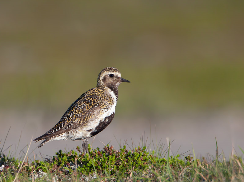
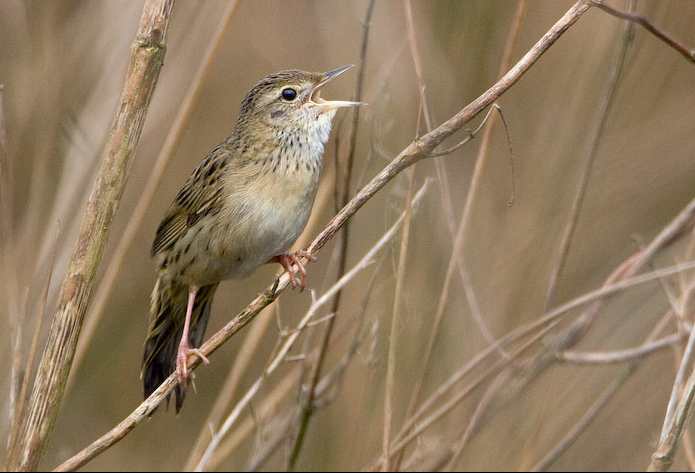
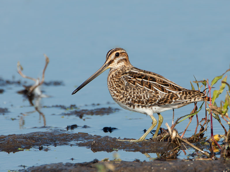
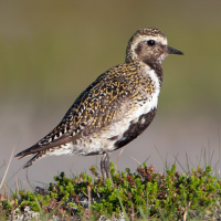
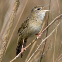
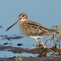
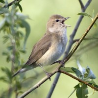
During freezing Winter weather most birds leave higher ground for lower elevations, sometimes the only birds remaining are some hardy Kolkrabe. During milder Winter weather Goldregenpfeifer, Bekassine, Schwarzkehlchen, Wiesenpieper, Mäusebussard, Bluthänfling, Alpenbirkenzeisig and small numbers of Erlenzeisig can be found. During Summer you can find Steinschmätzer, Feldschwirl, Gartengrasmücke, Fitis and Rauchschwalbe. There is a very large Star roost at Rough Tor Plantation just to the North (Press STAR on map). With those with more time, check farmland either side of long straight access road.
Brown Willy gives its name to a meteorological phenomenon called The Brown Willy Effect, South Westerly or Westerly winds hitting high ground can cause heavy showers or more prolonged rain in surrounding areas, in August 2004 this effect was believed to have been the cause of the Boscastle flood and in March 2006 a long line of showers stretched from Bodmin Moor 145 miles to Oxfordshire.
Details
Zugang
The long distance A39 main road (in Cornwall called The Atlantic Highway), from Barnstaple (in North Devon) to Indian Queens (far to the South West) passes fairly close to the site, from both directions at the town of Camelford turn South East into Roughtor Road (the blue Rough Tor sign on wall is often obscured - Press STAR on map). This road (unsigned throughout) eventually takes you to the large Rough Tor car park.
 ) Tragen Sie die Vogelnamen in Ihrer Sprache ein. Sie werden automatisch für andere Nutzer übersetzt!