Beschreibung
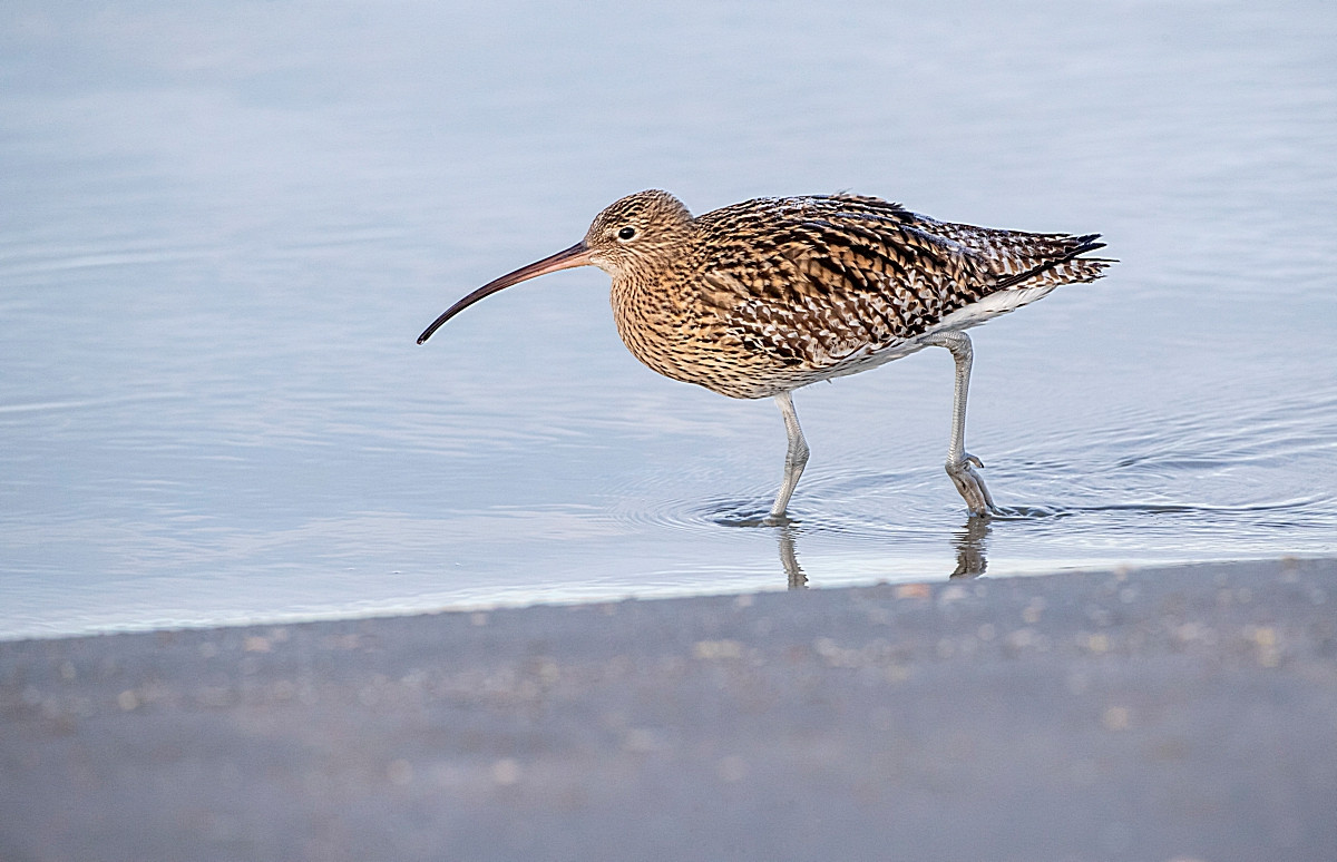
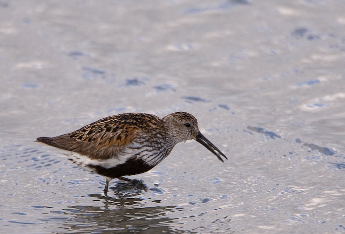
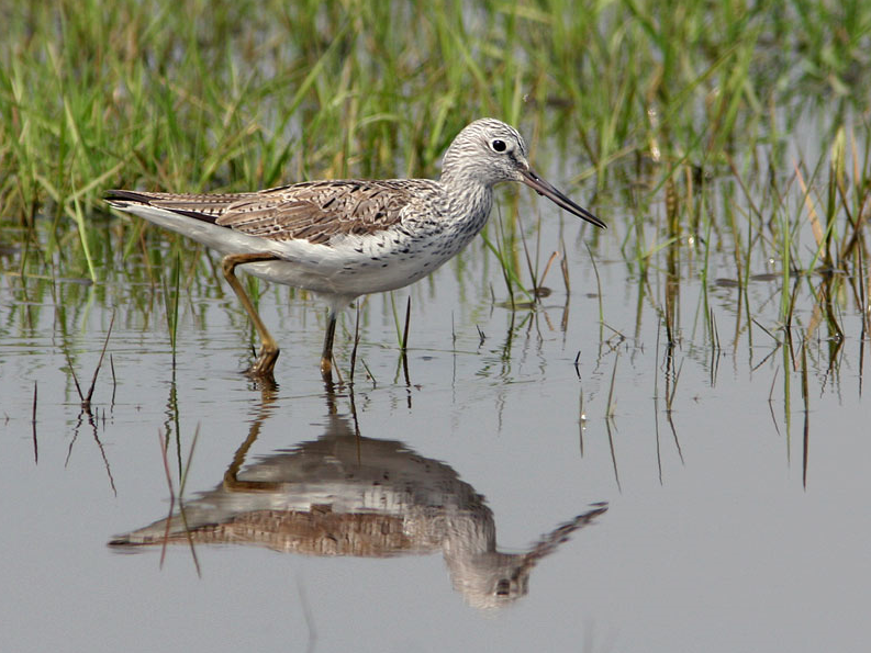
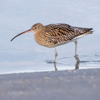
Tamerton Creek runs East to West on the edge of the city, eventually emptying into the River Tamar to the West, South of the creek is a mixture of housing and large industrial units, Ernesettle Creek runs South from the main creek. This area has paths through narrow wooded and open areas, some good areas of mud are exposed at low tide.
Details
Zugang
The A38 runs through the North part of the city from Marsh Mills in the East to the Tamar Road Bridge in the West, this section of road is called The Parkway. Take the main interchange North onto the B3413, take a left turn onto Ernesettle Lane and then take a right into Northholt Avenue, at next roundabout take the first left (still Northholt Avenue) and park in small pull in on left. The circular route you see on the map below is 2,6 km.
Terrain und Habitat
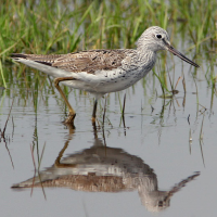
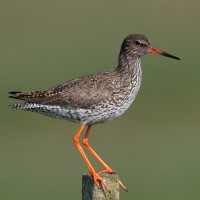
Vereinzelte Bäume und Büsche , Grasland, Wiesen , Fluss , Stadt/Dorf , Schlammflächen , StrandBedingungen
Flach , Hochwasser möglichRundweg
JaIst ein Spektiv nützlich?
JaGute Beobachtungszeit
GanzjährigBeste Beobachtungszeit
Frühjahr , Winter , Herbstzug , FrühjahrszugRoute
asphaltierte Straße , Normaler Weg , Schmaler PfadSchwierigkeitsgrad der Tour
EinfachErreichbarkeit
zu Fuß , Fahrrad , AutoBeobachtungshütten oder -türme
NeinZusätzliche Informationen
As usual with estuaries, check tide times, 3 hours before until 3 hours after high tide is best.


 ) Tragen Sie die Vogelnamen in Ihrer Sprache ein. Sie werden automatisch für andere Nutzer übersetzt!