Beschreibung
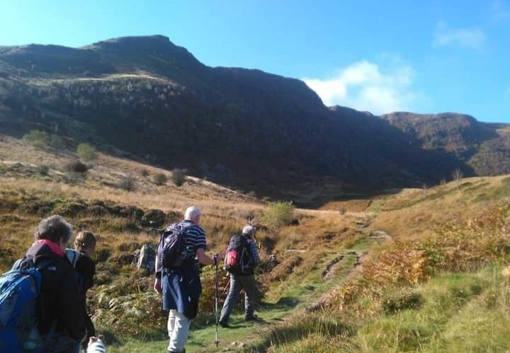
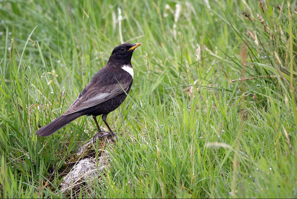
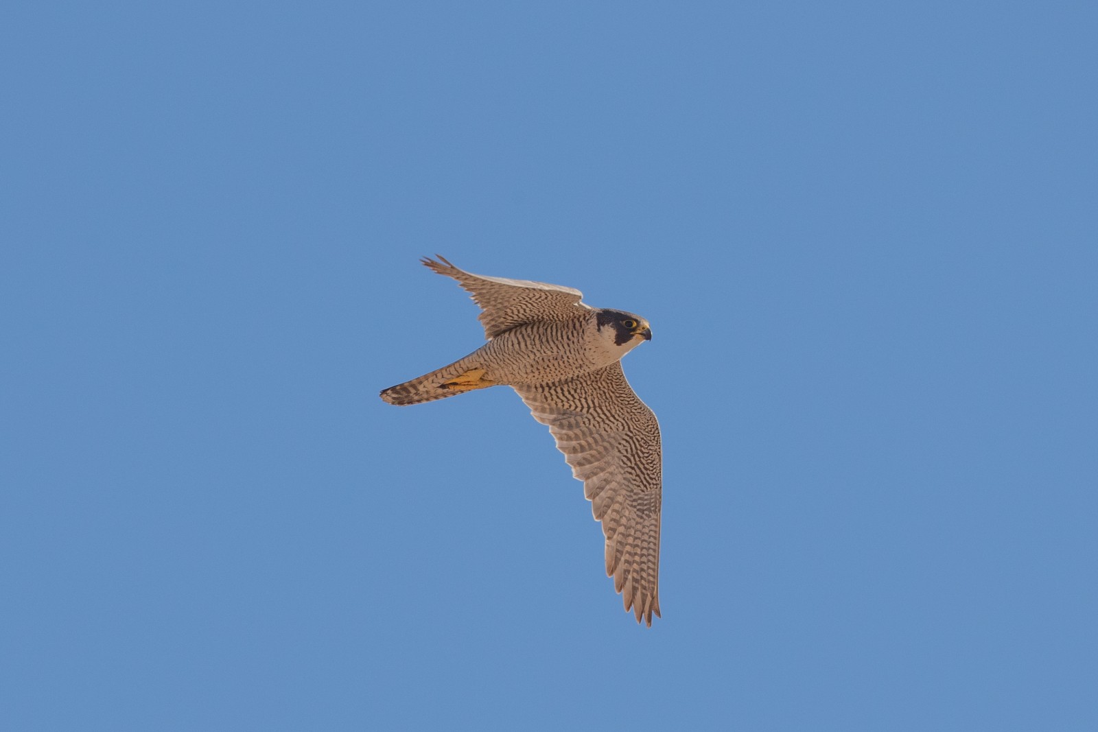
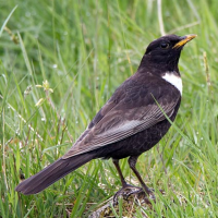
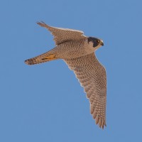
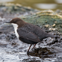
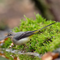
Fan Frynich is part of the Brecon Beacons National Park. The Visitor Centre with cafe, or the picnic site, are useful starting points for walks of various lengths, following the Sarn Helen Roman Road (Wanderfalke, Steinschmätzer, Wiesenpieper, Kolkrabe, possibly Ringdrossel) and/or the Taff Trail and valley of the Tarell river (Wasseramsel and Gebirgsstelze, 3 species of lamprey).
Closer to the visitor centre are Traeth Mawr and Mynnydd Illtyd, upland wetland sites where , Schilfrohrsänger and Bekassine breed.
Details
Zugang
Take A470 south from Brecon, at Libanus turn right for visitor centre and cafe. Follow the Roman Road southward for 3 miles to reach the reserve. For picnic site continue uphill on A470, there is free parking in a layby near the Youth Hostel. From the picnic site opposite a steep climb takes you past the Wanderfalke cliff and onto Fan Frynich.
NB in holiday season the laybys and roadside fill up quickly with parked cars, as of 2022 extra parking is being constructed.
Terrain und Habitat
Ebene , Berg , Schlucht/Cliff , Grasland, Wiesen , Plateau , Tal , FlussBedingungen
Gebirgig , Felsig , HügeligRundweg
JaIst ein Spektiv nützlich?
Möglicherweise hilfreichGute Beobachtungszeit
Frühjahr , SommerBeste Beobachtungszeit
SommerRoute
Schmaler Pfad , Normaler WegSchwierigkeitsgrad der Tour
Schwierig/anstrengendErreichbarkeit
zu FußBeobachtungshütten oder -türme
NeinZusätzliche Informationen
Two circular walks (12 km and 4 km long) are indicated on the map. Note that weather can be unpredictable even in summer. On longer walks wear stout boots, carry map, compass, waterproofs, water, mobile phone and food reserve.
 ) Tragen Sie die Vogelnamen in Ihrer Sprache ein. Sie werden automatisch für andere Nutzer übersetzt!