
Beschreibung
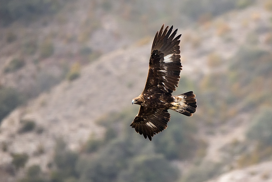
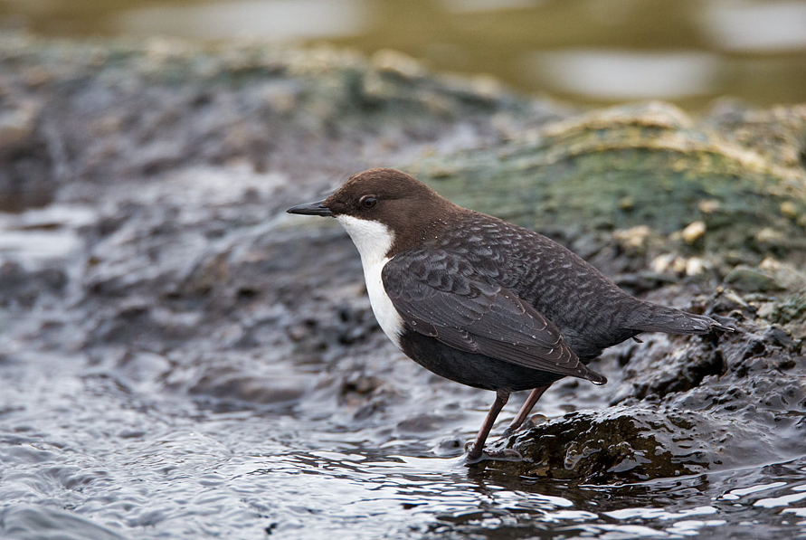
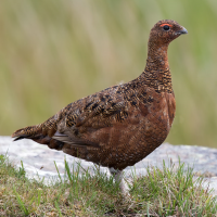
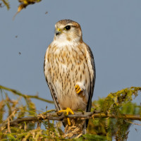
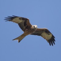
The Findhorn River Valley road runs largely along the river with varied biotopes: moor, grasslands, copses (juniper) and mountain slopes. One of the best places for observing Steinadler. Depending on the season all kinds of grouse, waders, ducks, songbirds and of course raptors such as Rotmilan and Merlin. Check the river for Gebirgsstelze , Wasseramsel, Gänsesäger and Mittelsäger.
Details
Zugang
The Findhorn River Valley is located south of Inverness, near the village of Tomatin. From the A9 between Inverness and Aviemore, take the Tomatin exit. Head south on the NCR 7 and turn right 2km before Findhorn Bridge. Take your time, as the dead-end road is almost 15 km long and worth walking for most of its length. From the car park at the end of the road, you can walk for another 6 km.
Terrain und Habitat
Feuchtgebiet , Ebene , Berg , Fluss , Vereinzelte Bäume und Büsche , Grasland, Wiesen , Tal , Moor/HeidelandBedingungen
Sumpfig , Offene Landschaft , Hügelig , FelsigRundweg
NeinIst ein Spektiv nützlich?
Möglicherweise hilfreichGute Beobachtungszeit
GanzjährigBeste Beobachtungszeit
FrühjahrRoute
asphaltierte StraßeSchwierigkeitsgrad der Tour
EinfachErreichbarkeit
Auto , FahrradBeobachtungshütten oder -türme
NeinZusätzliche Informationen
Please note: During hunting season, be careful whether it is safe to walk. In winter, the road is not kept free of snow and ice.
 ) Tragen Sie die Vogelnamen in Ihrer Sprache ein. Sie werden automatisch für andere Nutzer übersetzt!