
Beschreibung
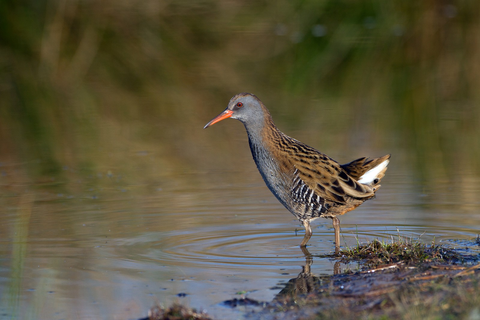
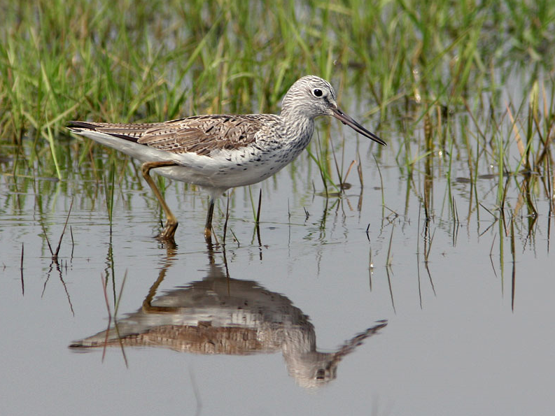
The Estuary runs roughly North East to South West with the village of Averton Gifford at it's head and Bantham at it's mouth, during the Autumn of 2020 a Kleiner Gelbschenkel spent some time on the upper estuary and saltmarsh, so rarities can be expected. On the Northern edge of the estuary is a TIDAL ROAD that runs East to West, further North is farmland with minor roads and footpaths that make a good circular walk.
Details
Zugang
From Plymouth take the A379 Eastward, passing through Brixton, Yealmpton and Modbury. The road eventually turns more Southerly and arrives at Averton Gifford, where there is a car park/boat park on the right just before the bridges.
Terrain und Habitat
Vereinzelte Bäume und Büsche , Wald , Feuchtgebiet , Grasland, Wiesen , Tal , Fluss , Meer , Schilfflächen , Stadt/Dorf , Landwirtschaft , Schlammflächen , StrandBedingungen
Flach , Hügelig , Offene Landschaft , Hochwasser möglich , Rutschig , SumpfigRundweg
JaIst ein Spektiv nützlich?
JaGute Beobachtungszeit
GanzjährigBeste Beobachtungszeit
Frühjahrszug , Herbstzug , Winter , Sommer , Frühjahr , HerbstRoute
asphaltierte Straße , Normaler Weg , Schmaler PfadSchwierigkeitsgrad der Tour
DurchschnittlichErreichbarkeit
zu Fuß , Fahrrad , AutoBeobachtungshütten oder -türme
JaZusätzliche Informationen
BEWARE OF HIGH TIDE on the TIDAL ROAD. Rather than do the long circular walk on Northern farmland take short cuts to save time.


 ) Tragen Sie die Vogelnamen in Ihrer Sprache ein. Sie werden automatisch für andere Nutzer übersetzt!