Beschreibung
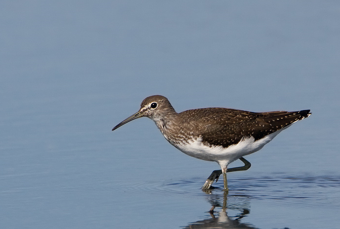
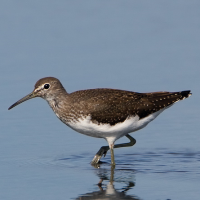
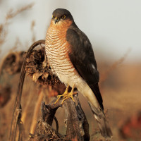
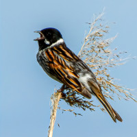
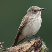
Roding Valley Meadows is a reserve managed by Essex Wildlife Trust. It comprises of river water meadows that frequently flood in Winter when the River Roding overspills it's banks. During this time of flooding there can be an increase in Gull (Laridae) species. There are two footbridges over the river, so you can gain access to the recreation ground and large lake. There are over 10 miles of ancient hedgerows surrounding numerous meadows. Wiesenpieper, Gartenrotschwanz, Braunkehlchen, Schwarzkehlchen, Steinschmätzer and Grauschnäpper are frequently seen on passage, especially in Autumn. The Recreation Lake most years has Zwergtaucher, Haubentaucher, Löffelente, Schnatterente, Reiherente, colder weather increases the chance of Pfeifente and Gänsesäger. The river has Eisvogel and Gebirgsstelze. Both Teichrohrsänger and Rohrammer can usually be found towards the North East of the reserve and later in the year both Waldwasserläufer and Flußuferläufer are regular visitors. Once a year there is a haycut of the meadows, BE AWARE livestock may be present on site, please make sure you close all gates after passing through.
Some more unusual birds that have been seen on the reserve since 2007 are Ringelgans, Feldschwirl, Wachtel, Kolbenente, Rothalstaucher, Raufußbussard, Wasserralle, Waldschnepfe and Mittelmeermöwe.
Details
Zugang
Even though the M11 Motorway runs directly beside the reserve, there are a lot of roadworks and construction ongoing in the immediate area. There are two car parks (Free), one at the David Lloyd Tennis Centre and one at Grange Farm. For directions press P on map.
Terrain und Habitat
Vereinzelte Bäume und Büsche , Grasland, Wiesen , Tal , See , Stadt/Dorf , Landwirtschaft , Schilfflächen , Fluss , FeuchtgebietBedingungen
Flach , Hochwasser möglich , Sumpfig , Rutschig , TrockenRundweg
JaIst ein Spektiv nützlich?
JaGute Beobachtungszeit
GanzjährigBeste Beobachtungszeit
Winter , Frühjahr , HerbstRoute
asphaltierte Straße , Normaler Weg , unbefestigte Straße , Schmaler PfadSchwierigkeitsgrad der Tour
EinfachErreichbarkeit
zu Fuß , Fahrrad , AutoBeobachtungshütten oder -türme
NeinZusätzliche Informationen
The walk on the map (about 4,5 mile) covers all main habitats, you can of course take many shortcuts due to time constraints.
 ) Tragen Sie die Vogelnamen in Ihrer Sprache ein. Sie werden automatisch für andere Nutzer übersetzt!