
.jpg)
Beschreibung
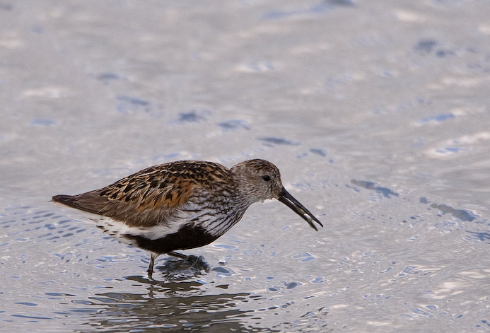
The Torpoint Peninsula area can be walked on footpaths through farmland/woodland and along roads with and without footpaths. It includes Wilcove Lake (small estuary), Jupiter Point (Royal Navy Seamanship School), the town of Torpoint itself and open farmland with a possibility of Zaunammer and Löffler throughout the walk.
Details
Zugang
The town of Torpoint is on the west bank of the River Tamar (at this point called the Hamoaze) reached by Pedestrian/Car ferry from The City of Plymouth. On leaving ferry continue on A374, which slowly climbs out of the town, when it flattens out turn left onto Trevol Road signposted HMS Raleigh (Naval Camp), continue on this road and look for a pull in on right just as naval camp ends (signed Horson Cemetery). Park here and continue on foot following the map. The total length of the route shown on the map is about 12 km.
Terrain und Habitat
Wald , Vereinzelte Bäume und Büsche , Grasland, Wiesen , Fluss , Stadt/Dorf , Landwirtschaft , Schlammflächen , StrandBedingungen
Hügelig , Felsig , Offene Landschaft , Hochwasser möglich , Sumpfig , RutschigRundweg
JaIst ein Spektiv nützlich?
JaGute Beobachtungszeit
GanzjährigBeste Beobachtungszeit
Winter , Sommer , Frühjahrszug , Frühjahr , Herbst , HerbstzugRoute
asphaltierte Straße , Normaler Weg , Schmaler PfadSchwierigkeitsgrad der Tour
DurchschnittlichErreichbarkeit
zu Fuß , Fahrrad , AutoBeobachtungshütten oder -türme
NeinZusätzliche Informationen
Pay attention to STAR ICONS in village of Wilcove.


.jpg)


 ) Tragen Sie die Vogelnamen in Ihrer Sprache ein. Sie werden automatisch für andere Nutzer übersetzt!