Descripción
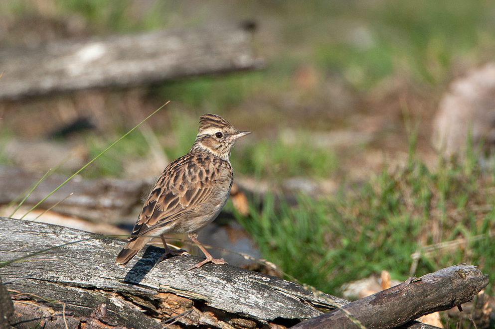
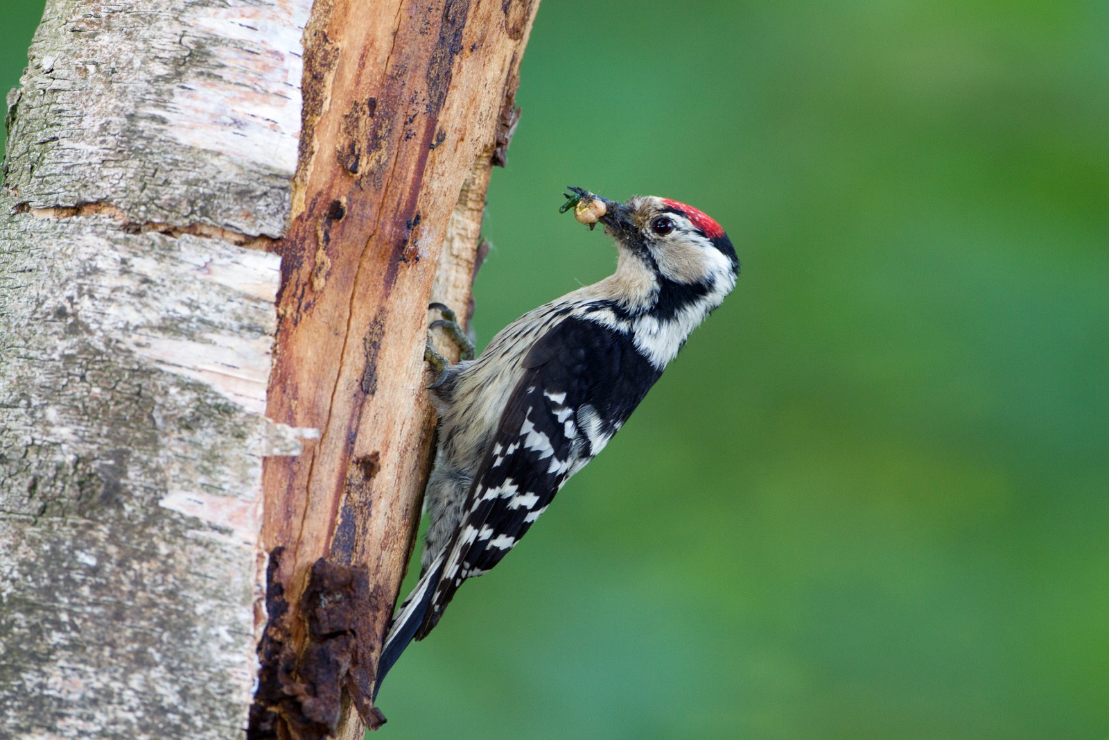
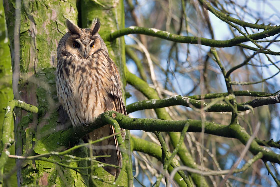
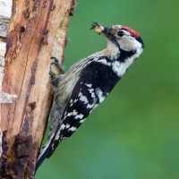
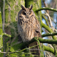
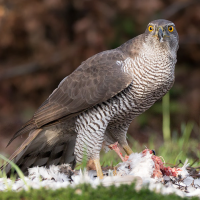
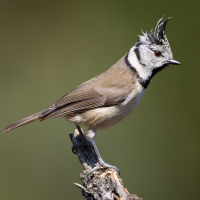
Between the Grote Nete and the Molse Nete are the inland dunes or drifting dunes of the Grote Netewoud forest. This heathland and drifting dune area is a very specific biotope with many specific bird species. Birds you can encounter include Alondra Totovía, Picamaderos Negro, Pico Menor, Búho Chico, Reyezuelo Sencillo, Bisbita Arbóreo, Tarabilla común and Herrerillo Capuchino.
_________________________
Nederlands: Tussen de Grote Nete en de Molse Nete bevinden zich de landduinen of stuifduinen van het Grote Netewoud. Dit heidegebied en stuifduinengebied is een zeer specifieke biotoop met dus tal van specifieke vogelsoorten. Vogels die je kunt tegenkomen zijn onder meer Alondra Totovía, Picamaderos Negro, Pico Menor, Búho Chico, Reyezuelo Sencillo, Bisbita Arbóreo, Tarabilla común en Herrerillo Capuchino.
Detalles
Accesso
You can park for free in the parking lot at the Sint-Lambertus Church of the Geel parish of Bel (address: Bel 129 – 2440 Geel). Junction 49 is located at the church, so you can start the route directly by walking past the church on the right. A narrow path leads to hiking junction 48, where you'll find Kapucienenberg. This is a land dune several dozen meters high.The circular walk shown on the map is approximately 4 km.
_________________________
Nederlands: Je kan gratis parkeren op de parking aan de Sint-Lambertuskerk van de Geelse parochie Bel (adres: Bel 129 – 2440 Geel). Aan de kerk ligt knooppunt 49 dus je kan direct de route starten door de kerk langs rechts voorbij te wandelen. Via een smal paadje stap je richting wandelknooppunt 48 waar je de Kapucienenberg terugvindt. Dit is geen echte berg maar een landduin van enkele tientallen meters hoog. De rondwandeling die is weergegeven op de kaart is ongeveer 4 km.
 ) insertar los nombres de aves en tu propio idioma. ¡Los nombres de las aves serán traducidos automáticamente para otros usuarios!