Descripción
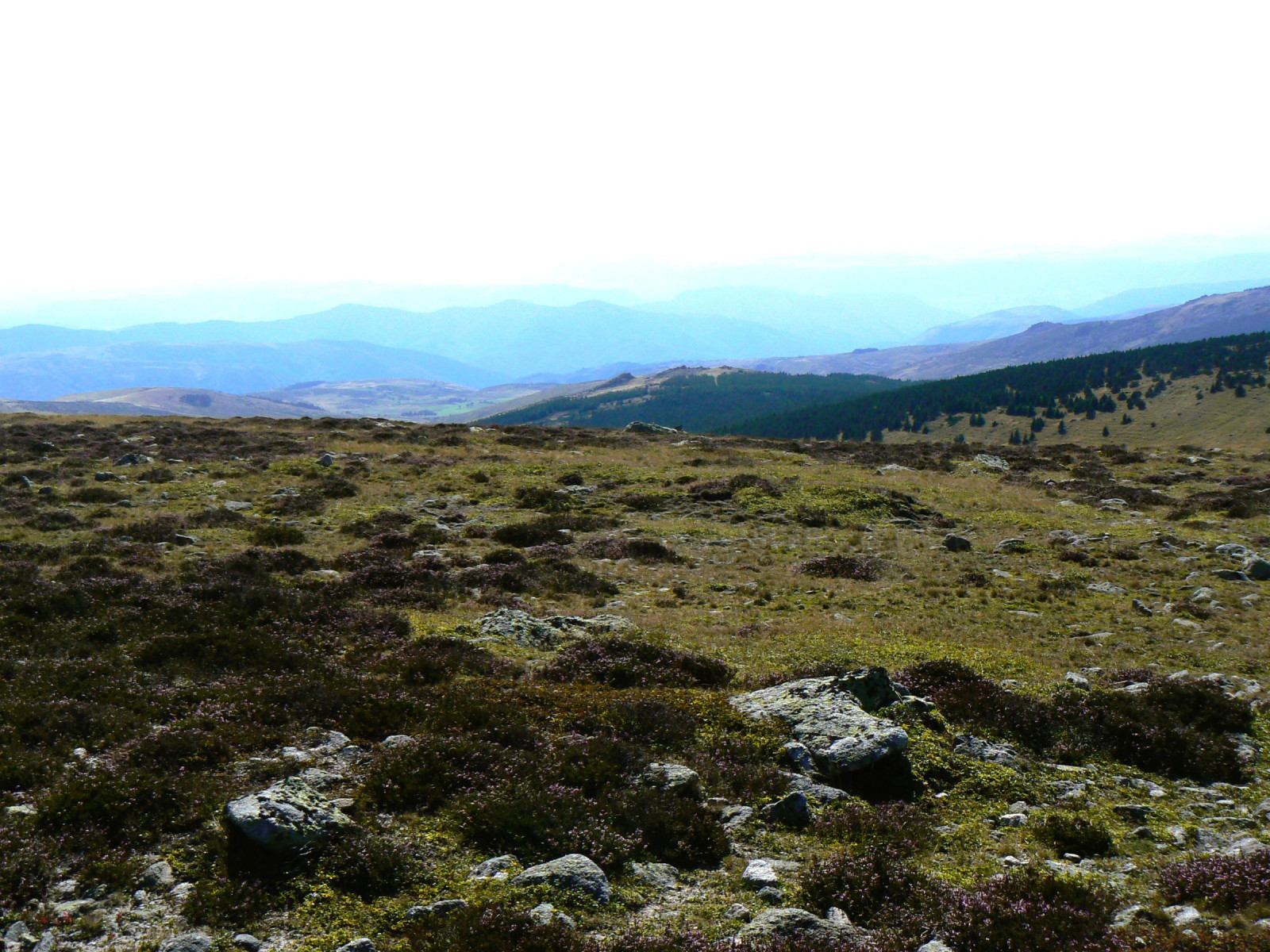
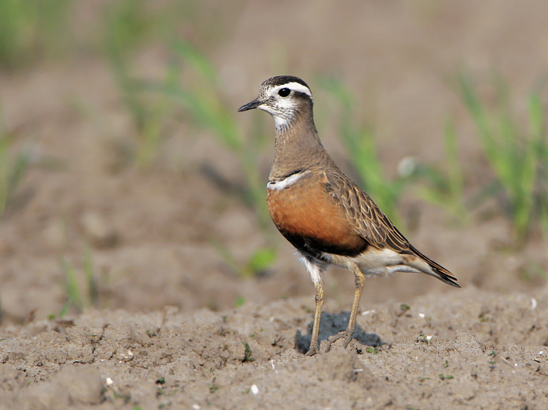
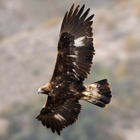
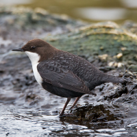
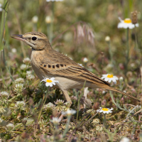
The Finiels (marker) is the summit of the Mont Lozère. Chorlito Carambolo invariably stop there, along the footpath, from mid august to early september. At that time of year, Verderón Serrano gather in flocks of 10-50 around the summit, and passerine migration can be nice under clear weather. The surrounding landscape is a remarkable assemblage of woodlands, rocky hills and pastures, structured by continental climate (winters are among France's coldest). Mirlo-acuático Europeo and Lavandera Cascadeña breed on the Tarn river at Pont de Monvert. Climbing uphills along the many footpaths will reveal nice assemblages with Alondra Totovía, Bisbita Campestre, Escribano Montesino, possibly Mirlo Capiblanco and an overall rich mixture of medio-european species typical of mid-elevations from 1000 to 1500m.
Detalles
Accesso
Pont de Monvert is a good basecamp with several housing facilities from a very basic Gîte Communal (dormitories) to nice hotels offering excellent local food. The Col du Finiels is accessible by car but it is only worth the drive if you can walk along hiking paths up to the summit (20-30min, easy climb). Press P on the map for direction to the Col du Finiels parking lot. The circular walk shown on the map is about 9 km. But if you walk straight from the parking to the summit and back it is about a 5 km walk.
Otherwise, leave the main road above Pont de Monvert and turn right for a driving circuit that will lead you in a scenic and diverse landscape to the Tarn river through L'Hôpital village. You can also walk there from the village (steep but easy climb).

 ) insertar los nombres de aves en tu propio idioma. ¡Los nombres de las aves serán traducidos automáticamente para otros usuarios!