Descripción
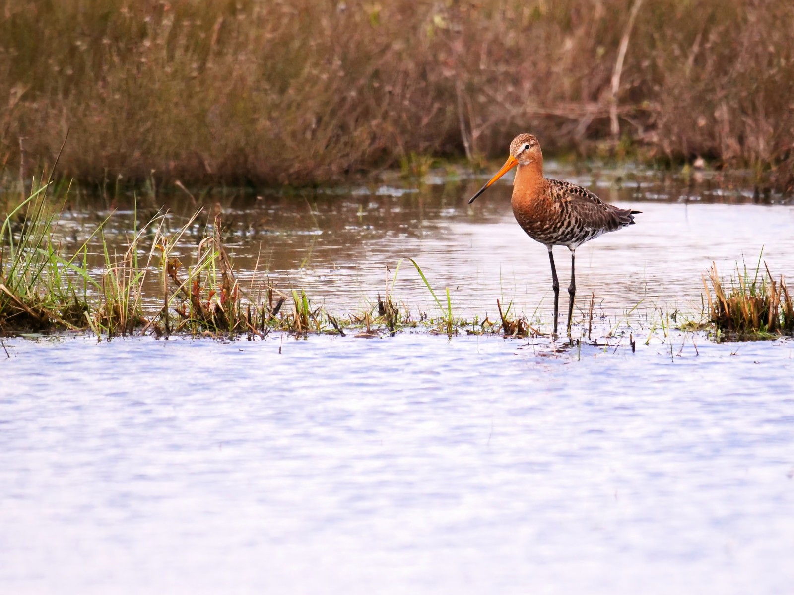
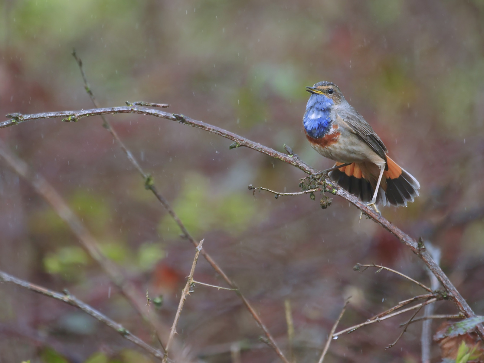
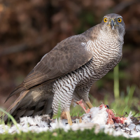
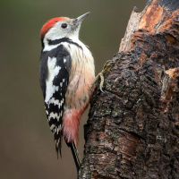
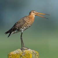
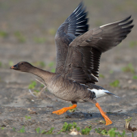
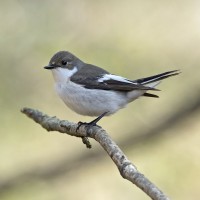
The Castelreesche Heide is a varied nature reserve with heathland, fens and forests. Belgium is located both north and south and is connected to the cross-border nature reserve Het Merkske. Birds you may encounter in the area are Azor Común, Aguja Colinegra, Ánsar Campestre de la Tundra, Alondra Totovía, Alcotán Europeo and Chotacabras Europeo and at Het Merkske (a stream that is a tributary of the Mark, and the natural border between the Netherlands and Belgium) you can see and Oropéndola Europea with a bit of luck.
_________________________
Nederlands: De Castelreesche Heide is een gevarieerd natuurgebied met heide, vennen en bossen. België ligt zowel ten noorden als ten zuiden en sluit aan bij het grensoverschrijdend natuurgebied Het Merkske. Vogels die je in het gebied kunt tegenkomen zijn Azor Común, Aguja Colinegra, Ánsar Campestre de la Tundra, Alondra Totovía, Alcotán Europeo en Chotacabras Europeo en bij Het Merkske (een zijriviertje van de Mark, en de natuurlijke grens tussen Nederland en België) kun je met een beetje geluk Ruiseñor Común en Oropéndola Europea zien.
Detalles
Accesso
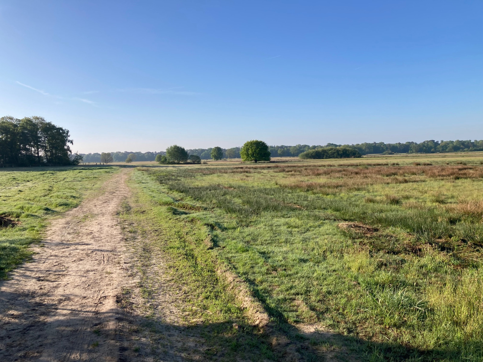
The Castelreesche Heide is located on the border of the Netherlands and Belgium, south of the city of Breda and northwest of the city of Turnhout. Parking is available at the Natuurpunt visitor centre with ample parking in Wortel Kolonie in Belgium or the Staatsbosbeheer car park on the Hoogstratense Baan in the Netherlands. Press a P on the map for directions to a car park. The circular walk shown on the map is approximately 8.5 km long.
_________________________
Nederlands: De Castelreesche Heide ligt op de grens van Nederland en België ten zuiden van Breda en ten noordwesten van Turnhout. Parkeren kan bij het bezoekerscentrum Natuurpunt met ruime parking in Wortel Kolonie in België of de parkeerplaats van Staatsbosbeheer aan de Hoogstratense Baan in Nederland. Druk op een P in de kaart voor een routebeschrijving naar een parkeerplaats. De rondwandeling die is weergegeven op de kaart is ongeveer 8,5 km lang.
 ) insertar los nombres de aves en tu propio idioma. ¡Los nombres de las aves serán traducidos automáticamente para otros usuarios!