Descripción
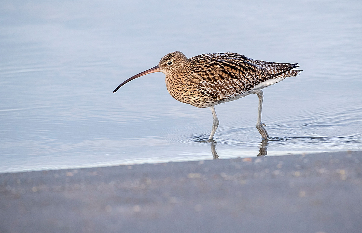
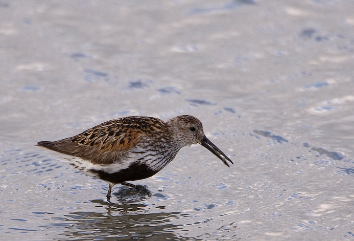
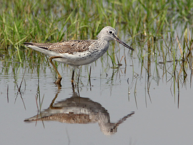
Tamerton Creek runs East to West on the edge of the city, eventually emptying into the River Tamar to the West, South of the creek is a mixture of housing and large industrial units, Ernesettle Creek runs South from the main creek. This area has paths through narrow wooded and open areas, some good areas of mud are exposed at low tide.
Detalles
Accesso
The A38 runs through the North part of the city from Marsh Mills in the East to the Tamar Road Bridge in the West, this section of road is called The Parkway. Take the main interchange North onto the B3413, take a left turn onto Ernesettle Lane and then take a right into Northholt Avenue, at next roundabout take the first left (still Northholt Avenue) and park in small pull in on left. The circular route you see on the map below is 2,6 km.
Terreno y habitat
Árboles y arbustos dispersos , Pradera , Río , Ciudad/Pueblo , Pisos de barro , PlayaCondiciones
Plano , Nivel del agua alto probableCamino circular
Sí¿Se necesita telescopio?
SíBuena época para el avistamiento de aves
Todo el añoMejor momento para visitar
Primavera , Invierno , Migración de otoño , Migración de primaveraRuta
Camino pavimentado , Camino ancho , Camino estrechoCamino difícil de andar
FácilAccesible vía
A pie , Bicicleta , CocheEscondite de observación / plataforma
NoInformación extra
As usual with estuaries, check tide times, 3 hours before until 3 hours after high tide is best.


 ) insertar los nombres de aves en tu propio idioma. ¡Los nombres de las aves serán traducidos automáticamente para otros usuarios!