
Descripción
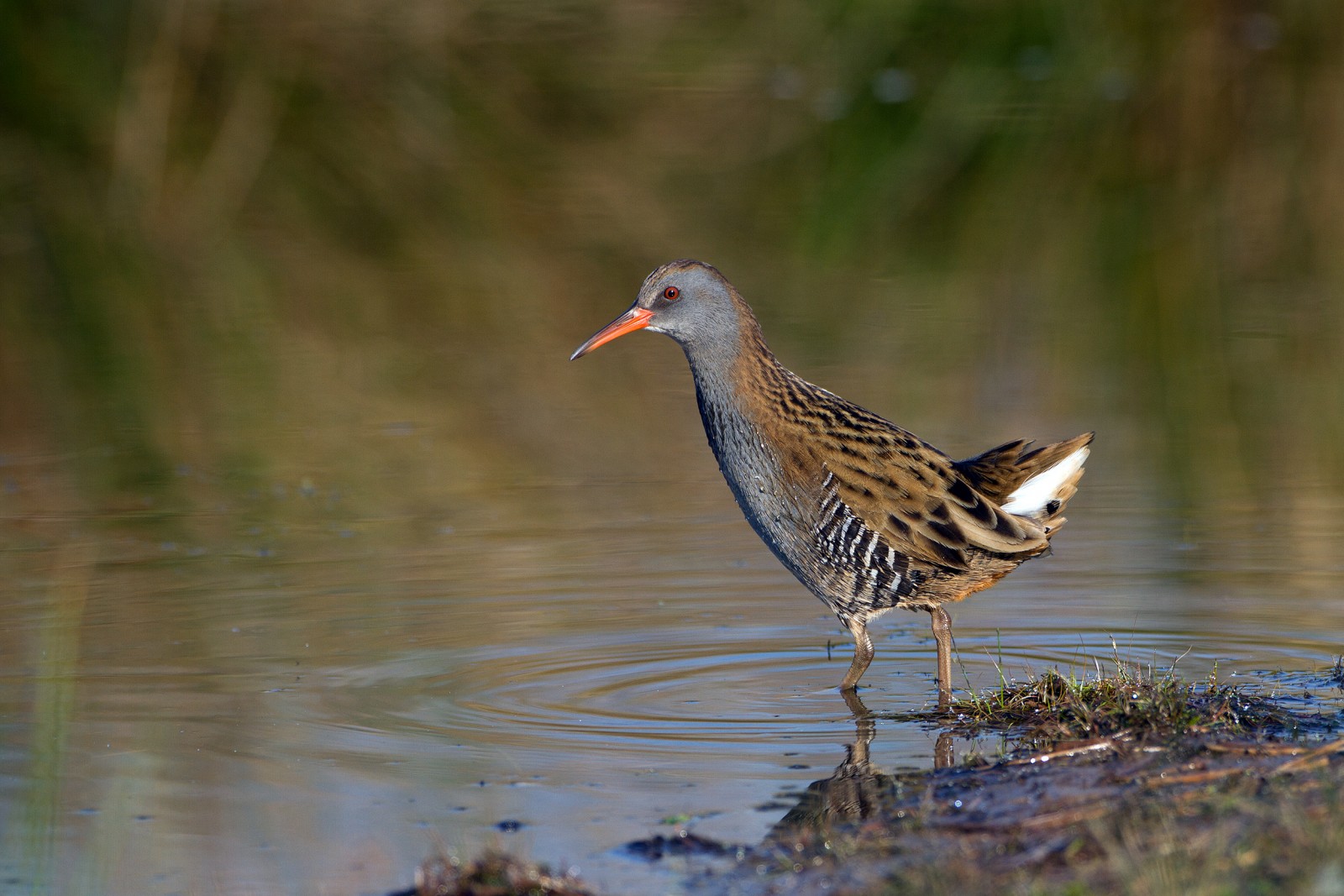
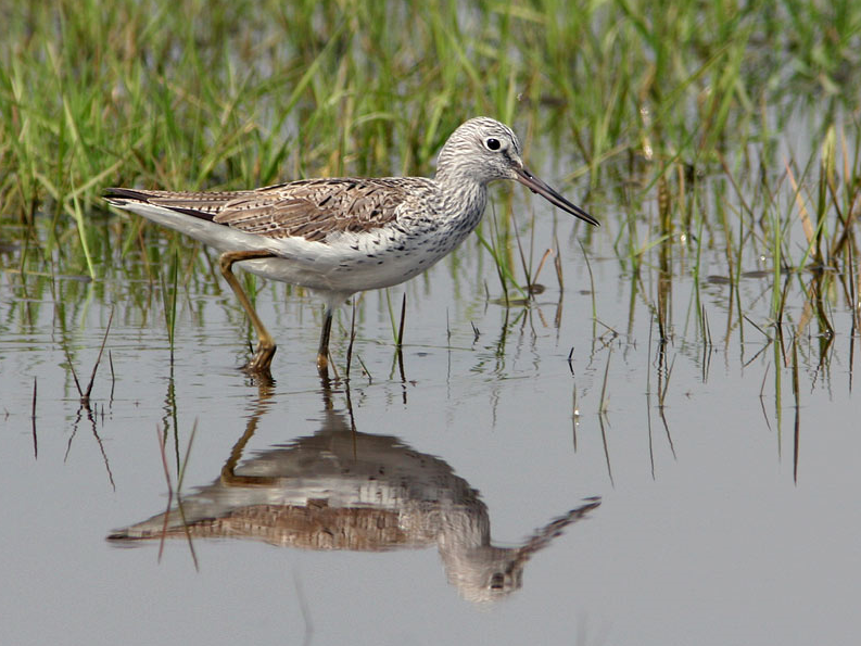
The Estuary runs roughly North East to South West with the village of Averton Gifford at it's head and Bantham at it's mouth, during the Autumn of 2020 a Archibebe Patigualdo Chico spent some time on the upper estuary and saltmarsh, so rarities can be expected. On the Northern edge of the estuary is a TIDAL ROAD that runs East to West, further North is farmland with minor roads and footpaths that make a good circular walk.
Detalles
Accesso
From Plymouth take the A379 Eastward, passing through Brixton, Yealmpton and Modbury. The road eventually turns more Southerly and arrives at Averton Gifford, where there is a car park/boat park on the right just before the bridges.
Terreno y habitat
Árboles y arbustos dispersos , Bosque , Humedal , Pradera , Valle , Río , Mar , Cañizos , Ciudad/Pueblo , Agricultura , Pisos de barro , PlayaCondiciones
Plano , Montañoso , Paisaje abierto , Nivel del agua alto probable , Resbaladizo , PantanosoCamino circular
Sí¿Se necesita telescopio?
SíBuena época para el avistamiento de aves
Todo el añoMejor momento para visitar
Migración de primavera , Migración de otoño , Invierno , Verano , Primavera , OtoñoRuta
Camino pavimentado , Camino ancho , Camino estrechoCamino difícil de andar
Caminata mediaAccesible vía
A pie , Bicicleta , CocheEscondite de observación / plataforma
SíInformación extra
BEWARE OF HIGH TIDE on the TIDAL ROAD. Rather than do the long circular walk on Northern farmland take short cuts to save time.


 ) insertar los nombres de aves en tu propio idioma. ¡Los nombres de las aves serán traducidos automáticamente para otros usuarios!