Descripción
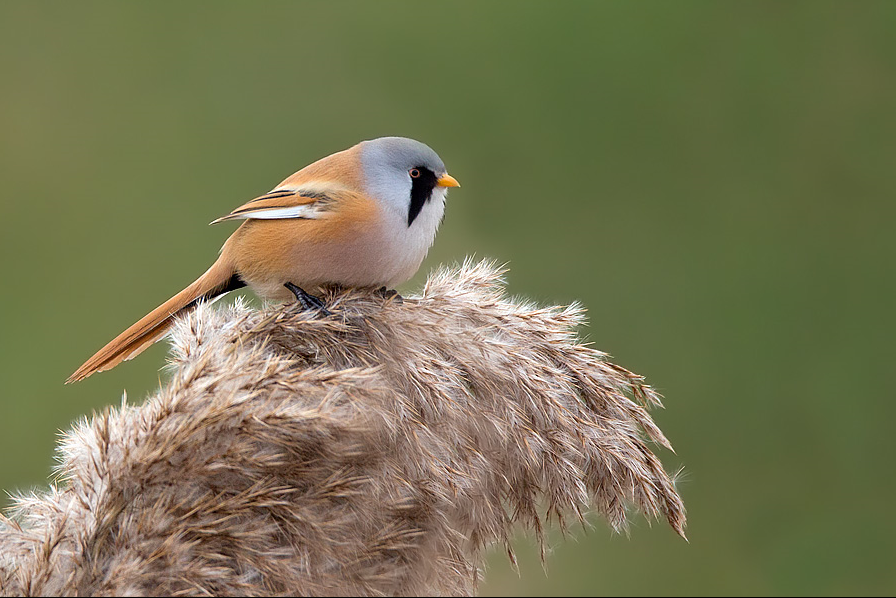
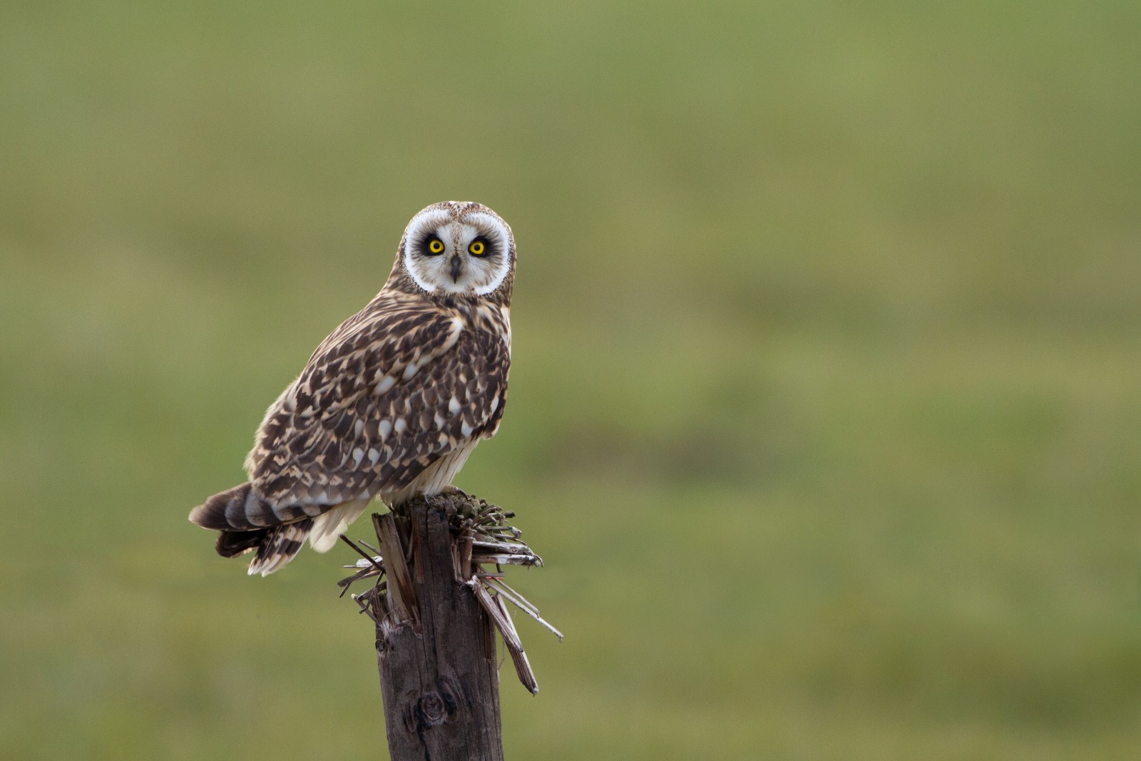
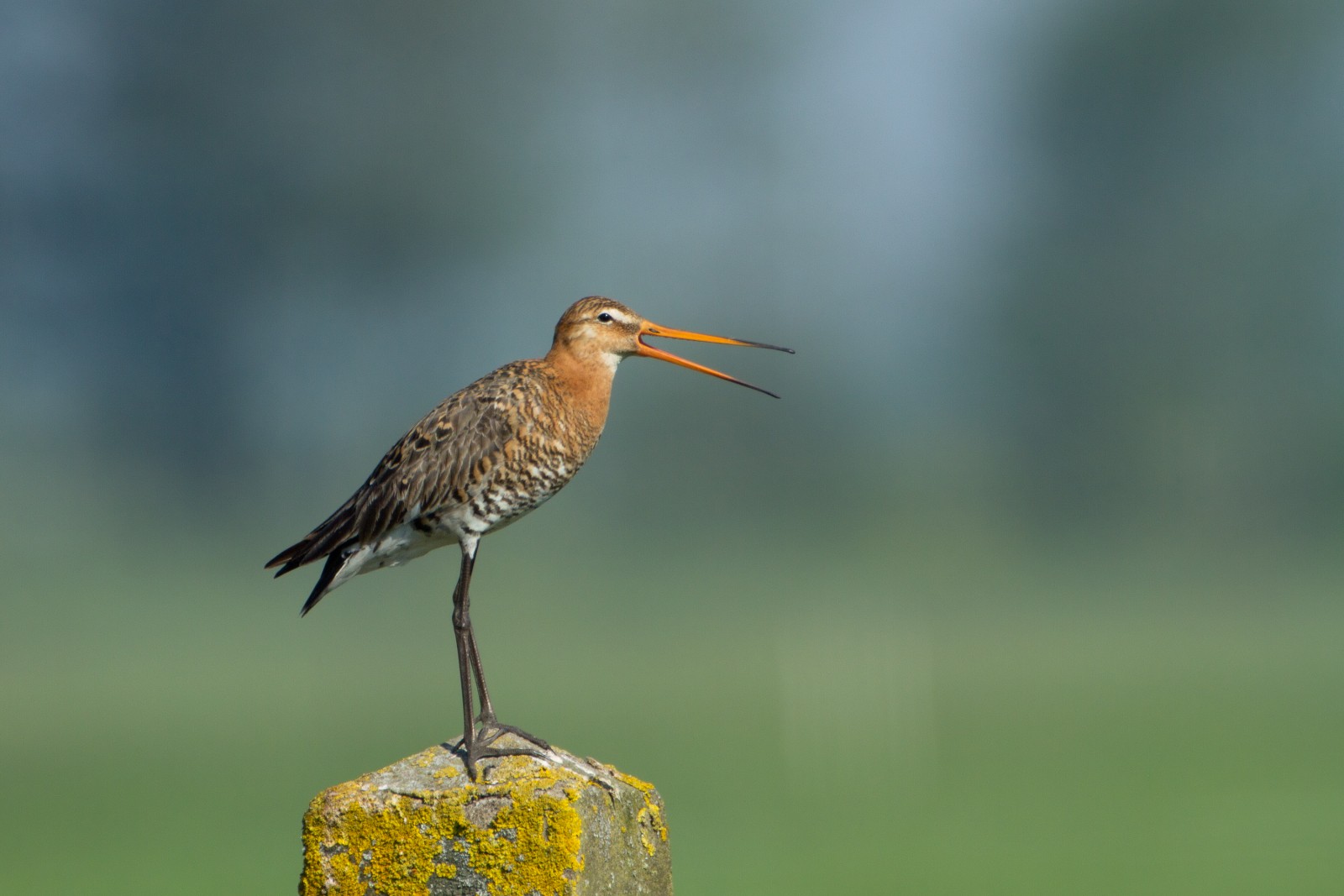
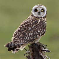
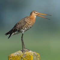
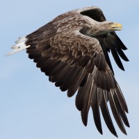
At the center of the site is a number of large lakes, once used as gravel pits. Just to the East is Swineham Point overlooking saltmarsh, reedbeds and Wareham Channel. The large area of water meadows are prone to flooding following long periods of rain, especially in Winter. The old gravel pits can hold Ánsar común, Barnacla canadiense grande, Silbón Europeo, Ánade friso, Cerceta Común, Cuchara Común, Porrón Moñudo, Focha Común, Zampullín Común, Somormujo Lavanco, Ánade rabudo norteño, Porrón Europeo, Porrón Bastardo, Somormujo Cuellirrojo, Zampullín Cuellirrojo and the occasional Colimbo Chico. At low tide Wareham Channel holds feeding Correlimos Común, Zarapito Real, Archibebe Común, Ostrero Euroasiático, Chorlito Gris, Archibebe Claro, Avoceta Común and Aguja Colinegra many of which use the water meadows as a high tide roost. Check all Gull (Laridae) flocks carefully for more unusual species such as Gaviota Patiamarilla and Gaviota de Delaware. The Wareham Channel is known for both Águila Pescadora and Pigargo Europeo since the recent reintroductions in Poole Harbour and the Isle of Wight.
Detalles
Accesso
The A35 main road from Poole (just to the North East) and Bere Regis (far to the West) is North of the site, leave A35 at Bakers Arms Roundabout signed Wareham/Sandfoot/Swanage A351. Follow signs to Wareham on A351, at Saxon Roundabout (on Northern edge of Wareham) take exit on to B3075 (to town centre), at traffic lights turn Left into East Street and then first Left into Morton's Lane. In Morton's Lane take first Left into Howard's Lane, car park (Fee Payable - 4 hours maximum stay) is just on the Left. There is also a 1 or 2 car parking spot on Bestwell Road near rugby club (Press STAR on map).
BE AWARE, some roads are PRIVATE ROADS, but have pedestrian access.
Terreno y habitat
Bosque , Humedal , Lago , Playa , Pisos de barro , Agricultura , Ciudad/Pueblo , Cañizos , Mar , Río , Árboles y arbustos dispersosCondiciones
Plano , Pantanoso , Resbaladizo , Nivel del agua alto probable , Paisaje abiertoCamino circular
Sí¿Se necesita telescopio?
SíBuena época para el avistamiento de aves
Todo el añoMejor momento para visitar
Invierno , Migración de primavera , Primavera , Otoño , Migración de otoñoRuta
Camino pavimentado , Camino ancho , Camino sin asfaltar , Camino estrechoCamino difícil de andar
FácilAccesible vía
A pie , Bicicleta , CocheEscondite de observación / plataforma
NoInformación extra
The total walking route indicated on the map is about 9 km, but also possible to split in two.
.jpg)
 ) insertar los nombres de aves en tu propio idioma. ¡Los nombres de las aves serán traducidos automáticamente para otros usuarios!