Charger images
Les formats d'image autorisés sont de type jpeg, png ou gif
La taille maximale du fichier doit être de 20MB
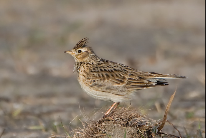
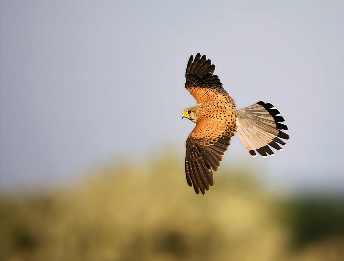
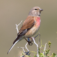
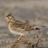
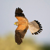
Here you can enjoy a vast field landscape with Alouette des champs and Faucon crécerelle flying above the corn fields.
The Kevie is equipped with four walking trails and a bird hide. The Jeker stream has regained its natural meanders in a major restoration project. The area surrounding the Kevie is a rich cultural landscape. Here you can enjoy a vast field landscape with Alouette des champs and Faucon crécerelle flying above the corn fields.
_________________________
Nederlands: De Kevie is uitgerust met vier wandelroutes en een kijkhut. De beek Jeker heeft zijn natuurlijke meanders teruggekregen in een grootse herstelactie van de Vlaamse Milieu Maatschappij. De omgeving van de Kevie baadt in een rijke cultuurnatuur. Je kan hier genieten van het weidse akkerlandschap van Droog Haspengouw met nog Alouette des champs en Faucon crécerelle boven de graanvelden.
De Kevie is located east of Tongeren. You can start at Nature House De Kevie. The Nature House is located between the ring road around the city of Tongeren and nature reserve De Kevie. It is a 15-minute walk from the station (train, bus, bluebike) and is the perfect base for visiting the nature reserve. Parking is available at the car park at De Motten, and for the time being at the car park on Oude Blaarstraat. You can take numerous walks in nature reserve De Kevie, most of which are buggy friendly. The circular walk shown on the map is approximately 5 km.
_________________________
Nederlands: De Kevie ligt ten oosten van Tongeren. Starten doe je aan Natuur.huis De Kevie. Het Natuur.huis is gelegen tussen de ringweg rond de Stad Tongeren en het natuurgebied De Kevie. Het ligt op 15 minuutjes wandelen van het station (trein, bus, bluebike) en is de perfecte uitvalsbasis om het natuurgebied te bezoeken. Parkeren kan op de parking van De Motten, en voorlopig nog op de parking van de Oude Blaarstraat. In natuurgebied De Kevie kun je talloze wandelingen maken. De meeste zijn buggyvriendelijk. De rondwandeling die is weergegeven op de kaart is ongeveer 5 km.
 ) Insérez les noms d'oiseau dans votre langue. Ils seront automatiquement traduits pour les autres usagers !
Votre feedback sera transmis à l’auteur.rice de cette zone et à l’équipe éditoriale de Birdingplaces, qui l’utiliseront pour améliorer la qualité des informations. (Vous souhaitez publier un commentaire visible en bas de page ? Fermez cette fenêtre et choisissez l’Option 1 : « Publier un commentaire, un conseil ou une observation ».)
Veuillez fournir des suggestions d'améliorations ou d'ajouts au texte de ce site ornithologique.
Veuillez fournir vos suggestions d'améliorations ou d'ajouts à la carte.
Veuillez fournir des suggestions d'améliorations ou d'ajouts à la liste des oiseaux.
Cliquez sur l'icône de l'oiseau () Insérez les noms d'oiseau dans votre langue. Ils seront automatiquement traduits pour les autres usagers !