Charger images
Les formats d'image autorisés sont de type jpeg, png ou gif
La taille maximale du fichier doit être de 20MB
Island with hiking trails directly above bird cliffs.
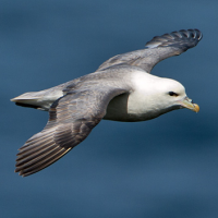
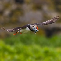
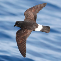
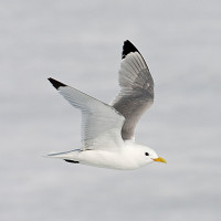
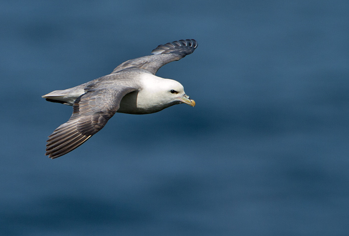
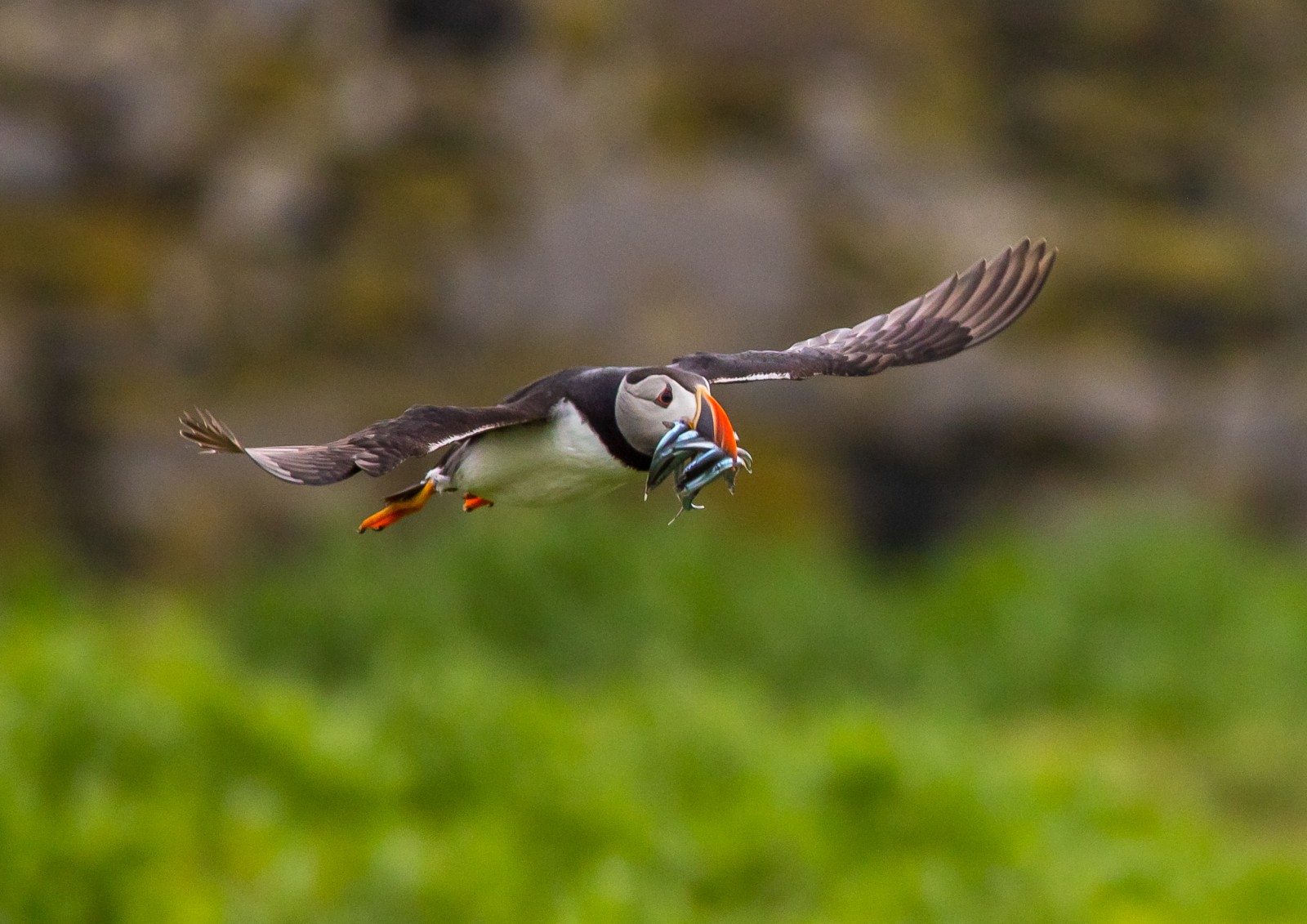
Nólsoy is 4 km east of the capital Tórshavn, connected by a daily ferry. Various hiking trails start from the village of Nólsoy leading to both the north and south of the island. The east coast features sharp cliffs, while the west coast is a grassy slope. A mountain range and a plateau runs north-southward. Nólsoy is an important breeding site for Océanite tempête, Fulmar boréal, Macareux moine and Puffin des Anglais.
A public ferry (Line 90) connects Tórshavn with Nólsoy. Find on the map the locations for both harbors. The sailing time is around 30 minutes. While there are several departures every day, the schedule changes especially in the weekends and on holidays. Check the full schedule through the ferry-link below and time your day trip if you are based in Tórshavn. The village of Nólsoy offers some options for food and accomodation.
 ) Insérez les noms d'oiseau dans votre langue. Ils seront automatiquement traduits pour les autres usagers !
Votre feedback sera transmis à l’auteur.rice de cette zone et à l’équipe éditoriale de Birdingplaces, qui l’utiliseront pour améliorer la qualité des informations. (Vous souhaitez publier un commentaire visible en bas de page ? Fermez cette fenêtre et choisissez l’Option 1 : « Publier un commentaire, un conseil ou une observation ».)
Veuillez fournir des suggestions d'améliorations ou d'ajouts au texte de ce site ornithologique.
Veuillez fournir vos suggestions d'améliorations ou d'ajouts à la carte.
Veuillez fournir des suggestions d'améliorations ou d'ajouts à la liste des oiseaux.
Cliquez sur l'icône de l'oiseau () Insérez les noms d'oiseau dans votre langue. Ils seront automatiquement traduits pour les autres usagers !