Charger images
Les formats d'image autorisés sont de type jpeg, png ou gif
La taille maximale du fichier doit être de 20MB
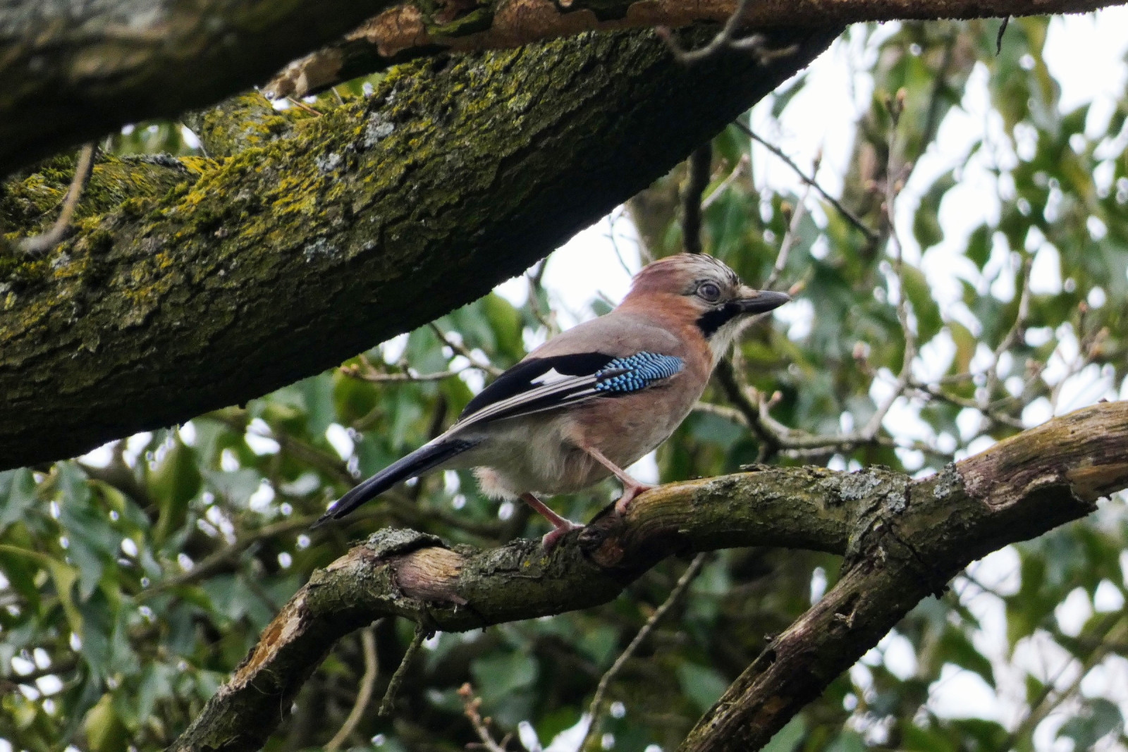
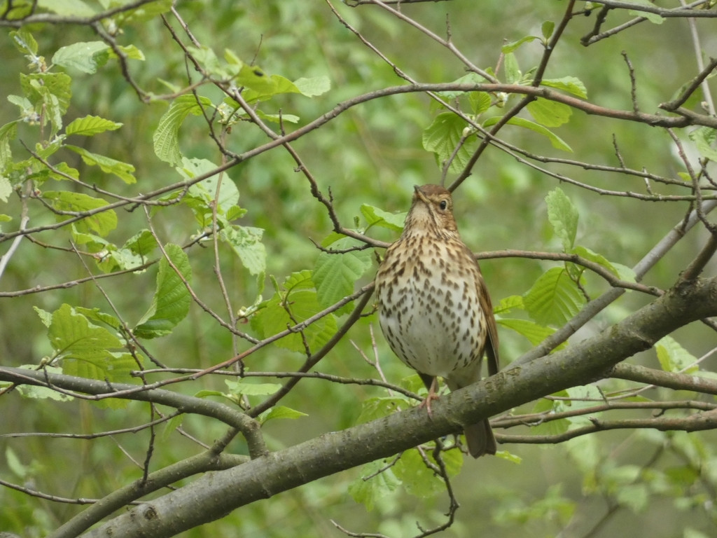
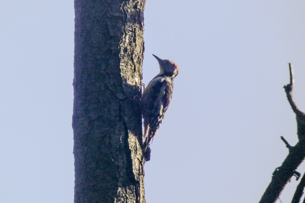
The Hülser Bruch nature reserve boasts one of the few wooded areas in Krefeld, and is home to many birds.
The Hülser Bruch nature reserve lies northwest of Krefeld and has been expanded in recent decades. It offers excellent forest walking opportunities. There are also meadows and small wetlands where reeds and willows grow. Here one can observe Héron cendré and in winter also Grande Aigrette. With a little bit of luck one can also spot Cigogne blanche.
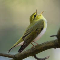
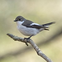
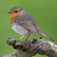
The forest contains enclosures for red deer, fallow deer, and wild boar. Along the trail, there are numerous information panels and benches. A tower in Hülser Berg offers a good view of the city of Krefeld and the forest from its top. Birds such as Pigeon ramier, Mésange bleue, Mésange charbonnière, Troglodyte mignon, Rougegorge familier and Grimpereau des jardins can be seen here. In spring and summer one can hear and hopefully spot Pouillot siffleur, Gobemouche noir and Coucou gris.
Between Tönisvorst and Hülser Berg, the old "Schluff" train runs on some holidays and summer days. It used to be a freight train before parts of Hülser Berg were designated nature reserves.
North of Hülser Berg, there is also the Environmental Center. School classes regularly visit to play in the forest and learn about nature. The center features orchards, meadows, and dry stone walls. With a bit of luck, you might even spot lizards on the dry stone walls.
Hülser Berg is best reached by bus line 060 (see number 1 on the map for the nearest stop). However, if you're starting in Hüls itself, tram line 044 is a good option (see number 2 on the map for the nearest stop), it is then approx a 2 km/25 minute walk to the centre of the forest area. Some bus lines, such as 045, also serve the area.
Car parking is available outside the area. See P's on the map for directions.
The area itself is best explored by bicycle, as it's quite large. However, it's also easily accessible on foot. There are many paths throughout the area, so the route on the map is just a general guide, taking in the observation tower in the middle.
 ) Insérez les noms d'oiseau dans votre langue. Ils seront automatiquement traduits pour les autres usagers !
Votre feedback sera transmis à l’auteur.rice de cette zone et à l’équipe éditoriale de Birdingplaces, qui l’utiliseront pour améliorer la qualité des informations. (Vous souhaitez publier un commentaire visible en bas de page ? Fermez cette fenêtre et choisissez l’Option 1 : « Publier un commentaire, un conseil ou une observation ».)
Veuillez fournir des suggestions d'améliorations ou d'ajouts au texte de ce site ornithologique.
Veuillez fournir vos suggestions d'améliorations ou d'ajouts à la carte.
Veuillez fournir des suggestions d'améliorations ou d'ajouts à la liste des oiseaux.
Cliquez sur l'icône de l'oiseau () Insérez les noms d'oiseau dans votre langue. Ils seront automatiquement traduits pour les autres usagers !