Charger images
Les formats d'image autorisés sont de type jpeg, png ou gif
La taille maximale du fichier doit être de 20MB
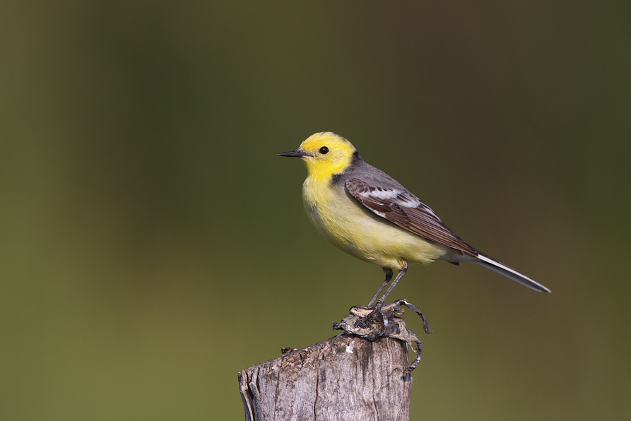
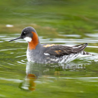
Countryside landscape containing diverse habitats that attract birds of wetlands and birds of dry habitats.
Salziger See is a low-lying rural area that was once a lake but was drained in the late 19th century due to mining. It now contains a diverse range of small habitats and agricultural pockets: extensive reedbeds, ponds, fields, scrub and orchards on sloping hills. This mix of environments provides a home for many different bird species. Water levels in the various ponds is often shallow, but largely unpredictable. A scope can be very useful for ID of any potential waders.
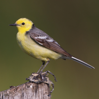
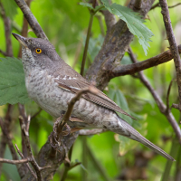
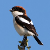
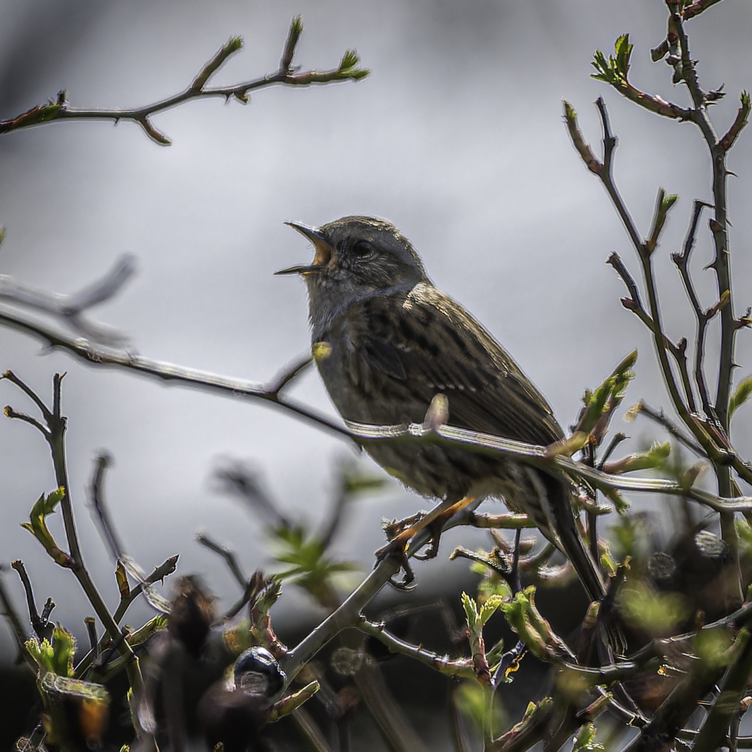
On the north side of the track between parking points 1 and 2 marked on the map, there are sloping hills with scrub and terraced vineyards and orchards. Some small cliffs have also evolved, which are very much appreciated by Guêpier d'Europe and Traquet motteux as breedings spaces. Other typical birds that can be found here include Tourterelle des bois, Torcol fourmilier, Fauvette épervière, Pie-grièche écorcheur, Tarier pâtre and Fauvette grisette.
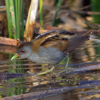
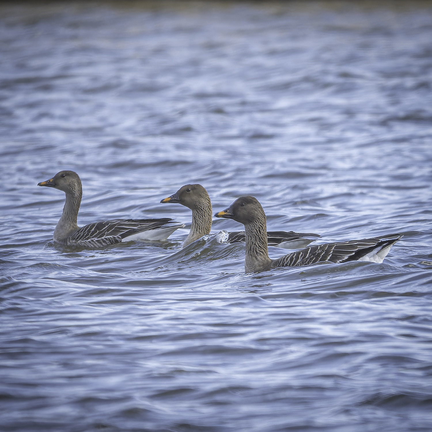
On the south side of this track are ponds and reedbeds, with typical species such as Rousserolle effarvatte, Locustelle luscinioïde, Locustelle tachetée, Phragmite des joncs, Gorgebleue à miroir and Panure à moustaches. This area is also viewable from the southern path that runs along the Mittelgraben.
Rarer species such as Marouette poussin and Blongios nain are possible to be spotted also. Please do not use audio recording luring devices, this is a protected area, which also means that one is not allowed to leave the tracks.
The Salziger See area is best explored on foot, and with a suitable bicycle it is also possible. There are 3 different parking spots. Two on the smaller Große Seestraße that runs through the land north to south, and one just off the larger Highway 80 that runs east to west. Click P's on the map for directions.
Be careful on the north-south road between Aseleben and Röblingen, some people drive dangerously. The traffic here also produces a lot of noise which can be annoying when trying to hear certain species.
Public transport: It's very easy to access the area by train: regional trains and an S-Bahn train go through Röblingen am See station (starred on the map). From the train station it is only a 15 minute walk to the southern-most viewpoint marked on the map.
 ) Insérez les noms d'oiseau dans votre langue. Ils seront automatiquement traduits pour les autres usagers !
Votre feedback sera transmis à l’auteur.rice de cette zone et à l’équipe éditoriale de Birdingplaces, qui l’utiliseront pour améliorer la qualité des informations. (Vous souhaitez publier un commentaire visible en bas de page ? Fermez cette fenêtre et choisissez l’Option 1 : « Publier un commentaire, un conseil ou une observation ».)
Veuillez fournir des suggestions d'améliorations ou d'ajouts au texte de ce site ornithologique.
Veuillez fournir vos suggestions d'améliorations ou d'ajouts à la carte.
Veuillez fournir des suggestions d'améliorations ou d'ajouts à la liste des oiseaux.
Cliquez sur l'icône de l'oiseau () Insérez les noms d'oiseau dans votre langue. Ils seront automatiquement traduits pour les autres usagers !