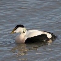
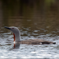
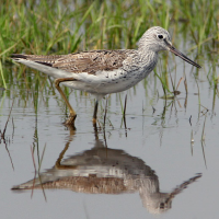
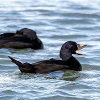
Charger images
Les formats d'image autorisés sont de type jpeg, png ou gif
La taille maximale du fichier doit être de 20MB
The town of Looe has the most easterly estuary on the south Cornwall coast.
The town of Looe is divided into West Looe and East Looe by the Looe River, this east side is usually the busiest, especially during summer. It has a fish market and a fleet of mostly day boats (Gulls), on low tides the water level is extremely low. The town centre has very narrow roads with little parking, south of the town is a part rocky and sandy beach, the river mouth has a 'Banjo' pier that extends beyond the beach. To the North of the town is a railway line that connects to the Penzance Paddington mainline at Liskeard. The estuary continues further north beyond this station.
The nearest largest town is Liskeard further north, there are many roads that lead to Looe. Parking is impossible in the main town due to narrow roads and in summer many pedestrians, those arriving by car should park in the Harbour Car Park (24 Hours pay and display), during summer this car park gets very busy especially on sunny days. To gain access to sea front walk south through the main town and eventually it opens to a wide sandy beach with more rocky areas to the east, to the west of the beach is a 'Banjo' Pier that goes out beyond the low water mark. Return to the car park by walking North beside the harbour wall.
To gain access to the upper estuary travel North past Looe railway station keeping estuary to the west, unfortunately this road does not have many stopping places and views are obscured by trees at times and the railway line is between this road and the estuary. Eventually there is a river crossing to the west over a rail level crossing and causeway with a small bridge on it's west end, whilst parking is difficult here this road is not busy. You can gain good views up and down estuary from here, 3 hours before high tide it is possible to walk a short way south along a beach that can be both slippery and muddy with overhanging trees.
BE WARNED when walking on estuary check tide times. The causeway past the rail level crossing can flood on very high spring tides.
 ) Insérez les noms d'oiseau dans votre langue. Ils seront automatiquement traduits pour les autres usagers !
Votre feedback sera transmis à l’auteur.rice de cette zone et à l’équipe éditoriale de Birdingplaces, qui l’utiliseront pour améliorer la qualité des informations. (Vous souhaitez publier un commentaire visible en bas de page ? Fermez cette fenêtre et choisissez l’Option 1 : « Publier un commentaire, un conseil ou une observation ».)
Veuillez fournir des suggestions d'améliorations ou d'ajouts au texte de ce site ornithologique.
Veuillez fournir vos suggestions d'améliorations ou d'ajouts à la carte.
Veuillez fournir des suggestions d'améliorations ou d'ajouts à la liste des oiseaux.
Cliquez sur l'icône de l'oiseau () Insérez les noms d'oiseau dans votre langue. Ils seront automatiquement traduits pour les autres usagers !