

Charger images
Les formats d'image autorisés sont de type jpeg, png ou gif
La taille maximale du fichier doit être de 20MB
This site is on the North West edge of the City of Plymouth.
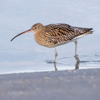
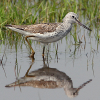
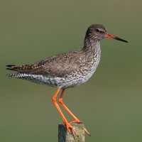
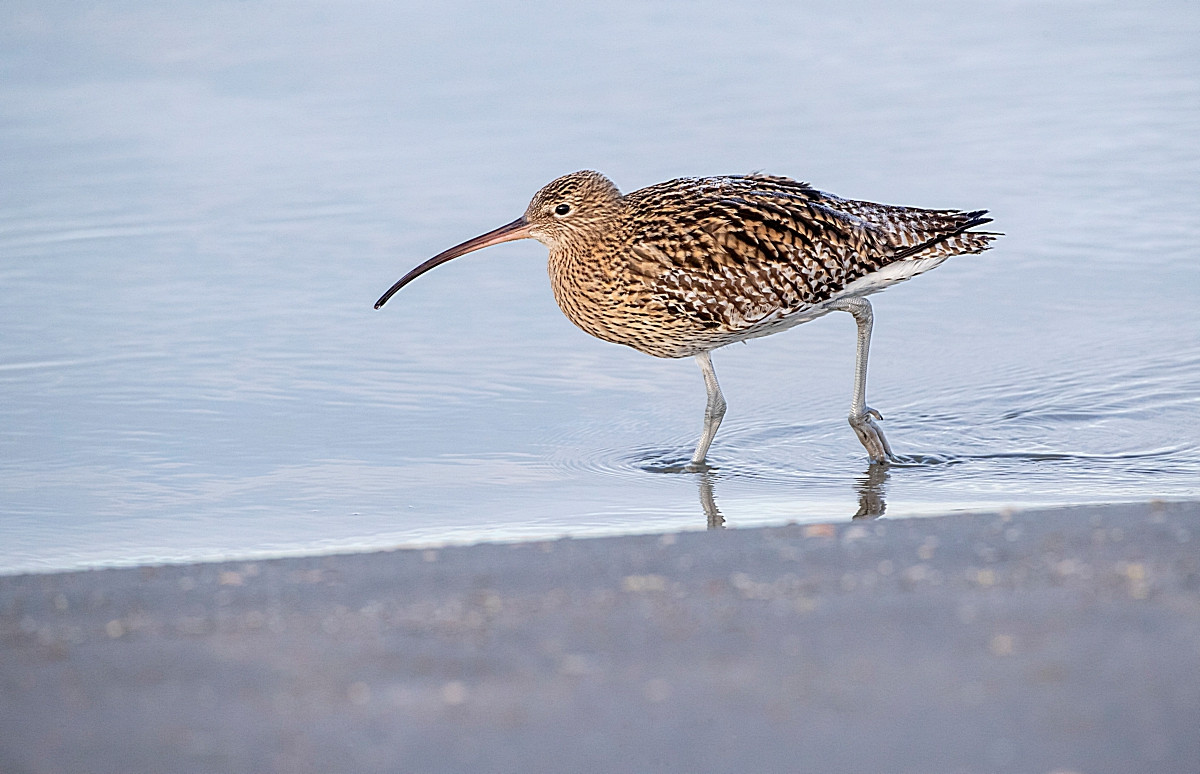
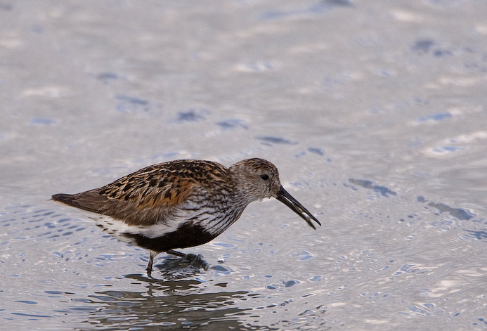
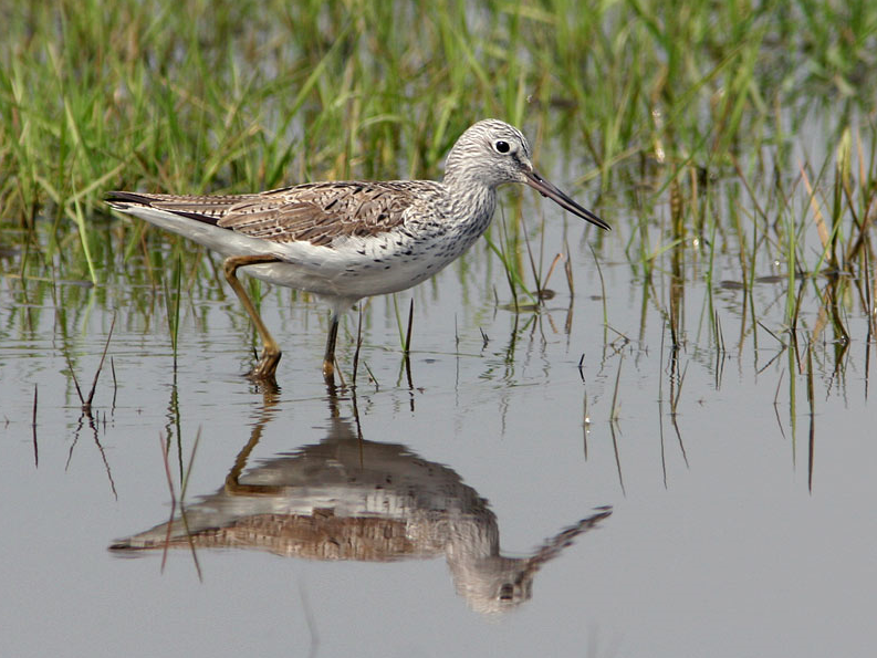
Tamerton Creek runs East to West on the edge of the city, eventually emptying into the River Tamar to the West, South of the creek is a mixture of housing and large industrial units, Ernesettle Creek runs South from the main creek. This area has paths through narrow wooded and open areas, some good areas of mud are exposed at low tide.
The A38 runs through the North part of the city from Marsh Mills in the East to the Tamar Road Bridge in the West, this section of road is called The Parkway. Take the main interchange North onto the B3413, take a left turn onto Ernesettle Lane and then take a right into Northholt Avenue, at next roundabout take the first left (still Northholt Avenue) and park in small pull in on left. The circular route you see on the map below is 2,6 km.
As usual with estuaries, check tide times, 3 hours before until 3 hours after high tide is best.
 ) Insérez les noms d'oiseau dans votre langue. Ils seront automatiquement traduits pour les autres usagers !
Votre feedback sera transmis à l’auteur.rice de cette zone et à l’équipe éditoriale de Birdingplaces, qui l’utiliseront pour améliorer la qualité des informations. (Vous souhaitez publier un commentaire visible en bas de page ? Fermez cette fenêtre et choisissez l’Option 1 : « Publier un commentaire, un conseil ou une observation ».)
Veuillez fournir des suggestions d'améliorations ou d'ajouts au texte de ce site ornithologique.
Veuillez fournir vos suggestions d'améliorations ou d'ajouts à la carte.
Veuillez fournir des suggestions d'améliorations ou d'ajouts à la liste des oiseaux.
Cliquez sur l'icône de l'oiseau () Insérez les noms d'oiseau dans votre langue. Ils seront automatiquement traduits pour les autres usagers !