
Charger images
Les formats d'image autorisés sont de type jpeg, png ou gif
La taille maximale du fichier doit être de 20MB

The Kingsbridge Estuary (Kingsbridge Town/Bowcombe Creek/West Chaleton Marsh and Frogmore Creek) is in South Devon.
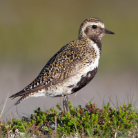
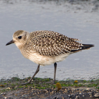
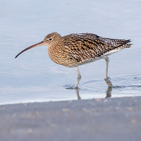
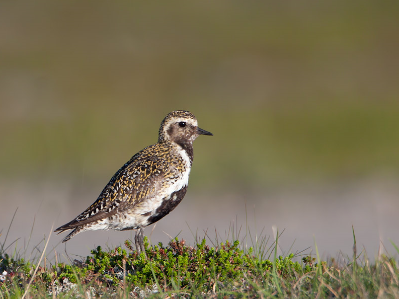
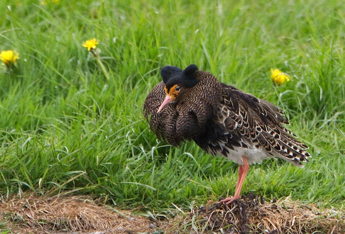
The Kingsbridge Estuary (better described as a RIA or flooded valley) is the largest most Southerly in Devon, at it's mouth is the town of Salcombe, at it's head is the town of Kingsbridge, for most of the middle section of the estuary there is little or no access to the shoreline, being comprised of mostly farmland. A car is almost essential in this Northern section but is renown for poor parking options. Some birds (depending on season) you're likely to see are Aigrette garzette, Tadorne de Belon, Sarcelle d'hiver, Canard siffleur, Canard pilet, Canard souchet, Fuligule milouin, Fuligule morillon, Fuligule milouinan, Harelde boréale, Harle huppé, Pluvier doré, Pluvier argenté, Tournepierre à collier, Bécasseau variable, Chevalier aboyeur, Barge rousse, Barge à queue noire, Courlis cendré, Courlis corlieu, Combattant varié.
This Northern section of the estuary is divided into four parts. (1) Leave central Kingsbridge Eastwards on the A379, this road initially follows close to estuary (few stopping places), when estuary gets obscured by housing look for a Left turn into Warren Road and park on Left side of road, leave car and walk down road and cross over to a path to estuary shore. (2) For Bowcombe Creek continue Eastward on A379, just before bridge turn Left into Embankment Road that follows creek Northwards, along this tree/shrub lined road (check for passerines) are some parking places on the Left, further along this road is a small viewing platform (this road is out and back). (3) Leave Bowcombe Creek and turn Left over bridge (still A379), the main estuary widens here but there is no stopping places, continue on A379 into West Charleton and turn Right into Marsh Lane where there is limited parking at the end near the sewage works (do not block access), follow footpath South across marsh to embankment where there is a bird hide giving good views of both marsh and estuary. (4) For Frogmore Creek leave Marsh Lane and turn Right (still A379), towards the village of Frogmore, there is no parking in the old part of the village, but a newer residential area (on road to East Prawle) has on road parking (do not block access), after parking in this area walk back towards Kingsbridge (onA379) and look for signposted footpath on Left to the creek.
 ) Insérez les noms d'oiseau dans votre langue. Ils seront automatiquement traduits pour les autres usagers !
Votre feedback sera transmis à l’auteur.rice de cette zone et à l’équipe éditoriale de Birdingplaces, qui l’utiliseront pour améliorer la qualité des informations. (Vous souhaitez publier un commentaire visible en bas de page ? Fermez cette fenêtre et choisissez l’Option 1 : « Publier un commentaire, un conseil ou une observation ».)
Veuillez fournir des suggestions d'améliorations ou d'ajouts au texte de ce site ornithologique.
Veuillez fournir vos suggestions d'améliorations ou d'ajouts à la carte.
Veuillez fournir des suggestions d'améliorations ou d'ajouts à la liste des oiseaux.
Cliquez sur l'icône de l'oiseau () Insérez les noms d'oiseau dans votre langue. Ils seront automatiquement traduits pour les autres usagers !