Charger images
Les formats d'image autorisés sont de type jpeg, png ou gif
La taille maximale du fichier doit être de 20MB
Kingsbridge Estuary is in South Devon and the largest most Southerly estuary in Devon.
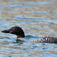
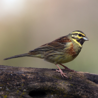
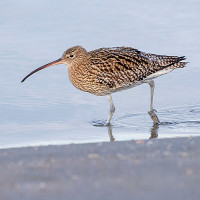
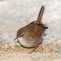
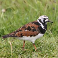
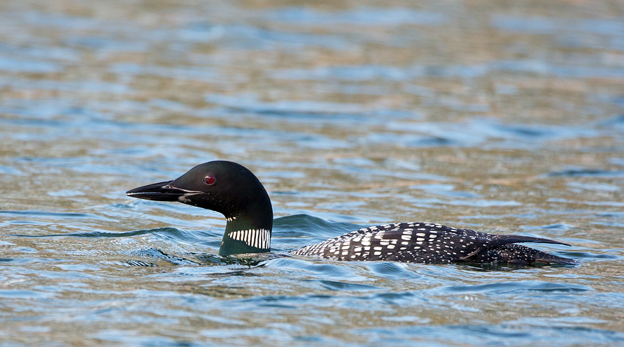
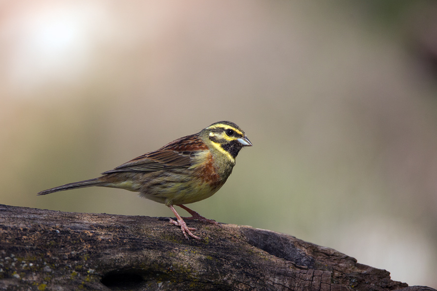
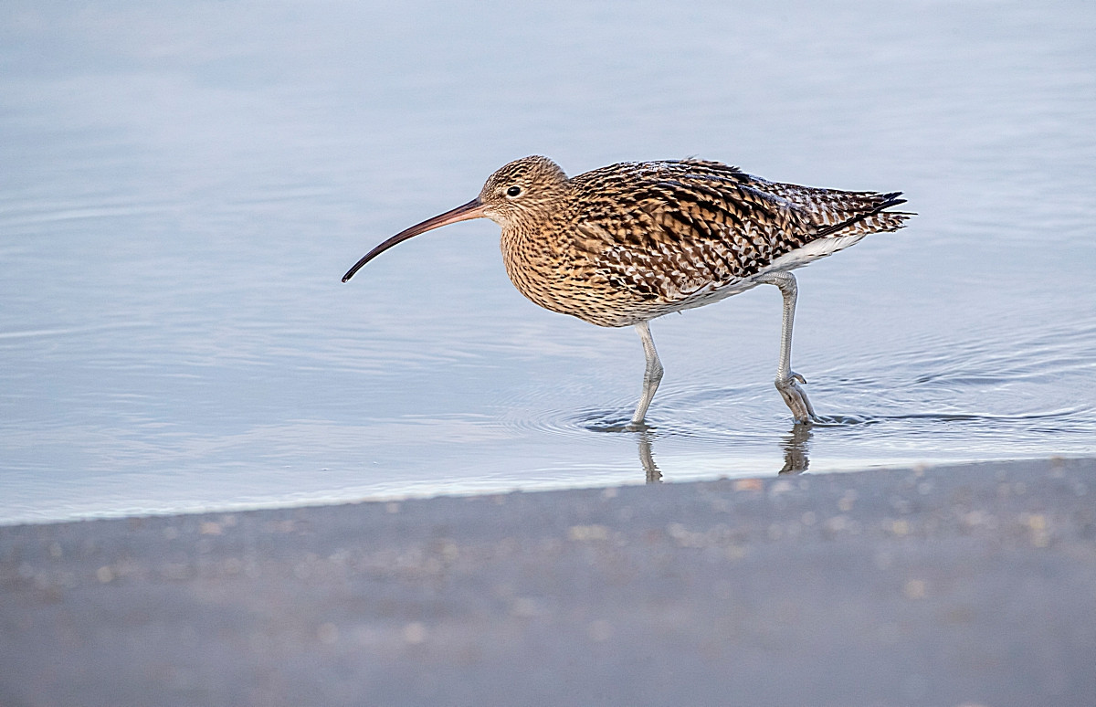
Kingsbridge Estuary unusually it has no major river running into it and is better described as a RIA (or drowned/flooded river valley). It has the town of Kingsbridge at it's head and the town of Salcombe on the West bank at it's mouth. Because it is a holiday destination Salcombe can get EXTREMELY BUSY during the Summer months, so a visit outside of this time may be best. Just to the North of the town is an area of farmland with a small car park (approx 15 spaces) National Trust Snape's Point (fee payable), with a number of footpaths leading to the estuary at both Tosnos Point and Snape's Point giving good views both up and down the estuary. Be sure to check tide times (at least 3 hours before high tide) for wading birds on the estuary. This Southern section of the estuary had a 'albino' Plongeon imbrin during December 2020 and can have more maritime species that shelter here especially during severe storms at sea. Some species you can expect are Bécasseau variable, Chevalier aboyeur, Chevalier guignette and on land possibly Bruant zizi. It is one of those places that virtually anything can turn up.
The A379 running from Plymouth (in the West) to Dartmouth (in the East), is just to the North of the site. From Plymouth on the A379 pass through Brixton/Yealmpton/Modbury and Aveton Gifford, after the roundabout at Aveton Gifford on approaching the next roundabout drive straight ahead (signed Marlborough/Salcombe) on the A381, in Malborough continue on A381 (also called Salcombe Road), take third Left onto minor road (WARNING this road becomes very narrow at times) signed Horcombe/Lincombe, at next crossroads continue straight ahead signed Lincombe/Lower Batson (road becomes wider), at next junction (with long distance view of estuary) turn Left signed Lincombe Boat Yard/Snape's Point, at next junction take Right fork (narrower road) that leads to Snape's Point car park.
For those with more time a walk into Salcombe to catch the pedestrian ferry across to East Portlemouth for better views of the mouth of the Estuary. During Summer (1 April - 31 October) the ferry runs from Jubilee Ferry Pier and in Winter (1 November - 31 March) it runs from Whitestrand Pontoon, this ferry service runs every day of the year (By Royal Charter), first ferry 0800hrs, last ferry 1900hrs (Summer) and 1800hrs (Winter), SEE STARS ON MAP FOR LOCATION. For those not wanting to walk into Salcombe from Snape's Point Car Park, there is a car park (fee payable) on the Northern edge of the town, described as a Park & Ride (NOTE THE BUS NO LONGER OPERATES), so is best described as a Park & Walk, also SEE STAR ON MAP. I would not advise using a car in the NARROW streets of Salcombe.
 ) Insérez les noms d'oiseau dans votre langue. Ils seront automatiquement traduits pour les autres usagers !
Votre feedback sera transmis à l’auteur.rice de cette zone et à l’équipe éditoriale de Birdingplaces, qui l’utiliseront pour améliorer la qualité des informations. (Vous souhaitez publier un commentaire visible en bas de page ? Fermez cette fenêtre et choisissez l’Option 1 : « Publier un commentaire, un conseil ou une observation ».)
Veuillez fournir des suggestions d'améliorations ou d'ajouts au texte de ce site ornithologique.
Veuillez fournir vos suggestions d'améliorations ou d'ajouts à la carte.
Veuillez fournir des suggestions d'améliorations ou d'ajouts à la liste des oiseaux.
Cliquez sur l'icône de l'oiseau () Insérez les noms d'oiseau dans votre langue. Ils seront automatiquement traduits pour les autres usagers !