Charger images
Les formats d'image autorisés sont de type jpeg, png ou gif
La taille maximale du fichier doit être de 20MB
Kit Hill is the highest point in the Tamar Valley in South East Cornwall.
The Tamar Valley Area of Outstanding Natural Beauty (AONB) is dominated by the 1,096 foot tall Kit Hill. It is managed by Cornwall County Council and gives spectacular views around the surrounding countryside. Kit Hill was extensively mined in the past for tin and copper, at it's summit is a mine chimney with modern transmitters, there are a number of paths and a horse riding trail. BE AWARE, during the breeding season keep to well worn paths to avoid disturbance. The hill has a number of ancient burial mounds, the highest parts are dominated by Heather (Calluna), Gorse (Ulex) and Bilberry (Vaccinium), the hill is surrounded on most sides by farm fields with hedges and small trees and shrubs.
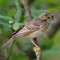
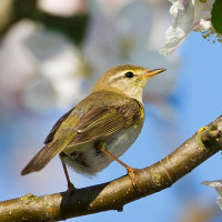
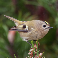
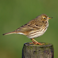
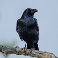
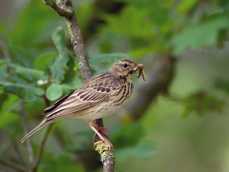
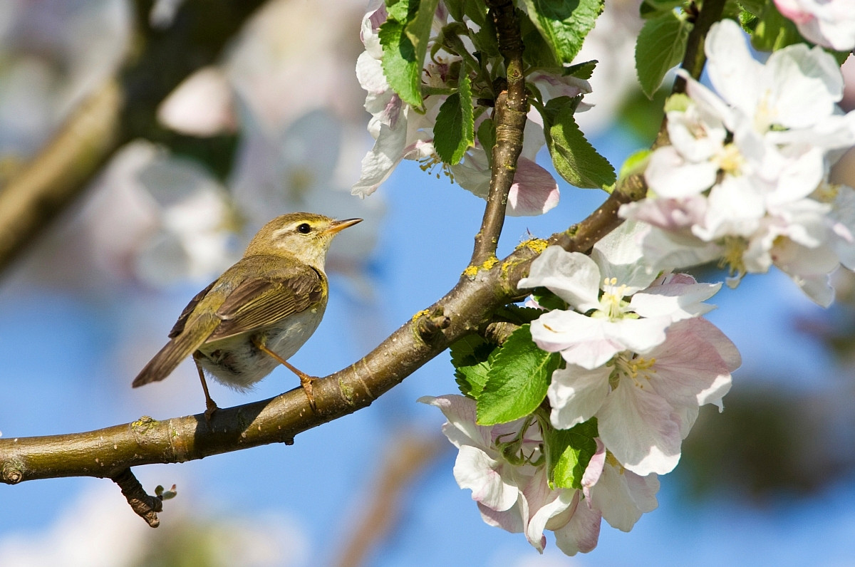
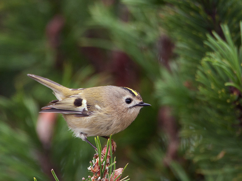
Kit Hill can be busy during the Summer months, having a car park at the summit only increases the amount of visitors. Depending on season the hill has a reasonable bird list. Pluvier doré can be found, but are often disturbed by visitors. Pipit des arbres, Pouillot véloce, Pouillot fitis, Roitelet huppé and Grand Corbeau are just some of the birds to be found.
The A390 main road between Tavistock (far to the East) and Callington (on Kit Hills Western lower slopes), if traveling from Tavistock direction cross the River Tamar on the narrow Gunnislake bridge in the deep valley. After climbing the steep road pass through the small villages of Drakewells and St Ann's Chapel. Continue through farmland on the tree lined road. Approximately 4 miles from Gunnislake take a Right turn signed Kit Hill. (*A) Continue up this climbing road and turn Left at Kit Hill Summit sign, pass through open gate. A car park is immediately on the Left, or continue up to further car parks. From Callington direction follow road signed Tavistock/Gunnislake A390, continue on this road until you see a layby car park on the Left, turn Left at sign for Kit Hill and follow from (*A) above.
 ) Insérez les noms d'oiseau dans votre langue. Ils seront automatiquement traduits pour les autres usagers !
Votre feedback sera transmis à l’auteur.rice de cette zone et à l’équipe éditoriale de Birdingplaces, qui l’utiliseront pour améliorer la qualité des informations. (Vous souhaitez publier un commentaire visible en bas de page ? Fermez cette fenêtre et choisissez l’Option 1 : « Publier un commentaire, un conseil ou une observation ».)
Veuillez fournir des suggestions d'améliorations ou d'ajouts au texte de ce site ornithologique.
Veuillez fournir vos suggestions d'améliorations ou d'ajouts à la carte.
Veuillez fournir des suggestions d'améliorations ou d'ajouts à la liste des oiseaux.
Cliquez sur l'icône de l'oiseau () Insérez les noms d'oiseau dans votre langue. Ils seront automatiquement traduits pour les autres usagers !