Charger images
Les formats d'image autorisés sont de type jpeg, png ou gif
La taille maximale du fichier doit être de 20MB

Just North East of the town of Wareham, where the river Piddle meanders its way to the Wareham Channel and part of the Two Rivers Walk.
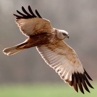
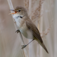
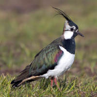
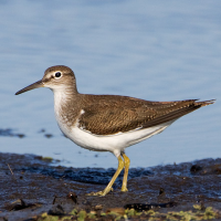
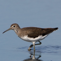
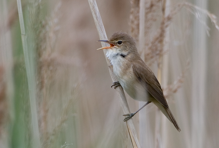
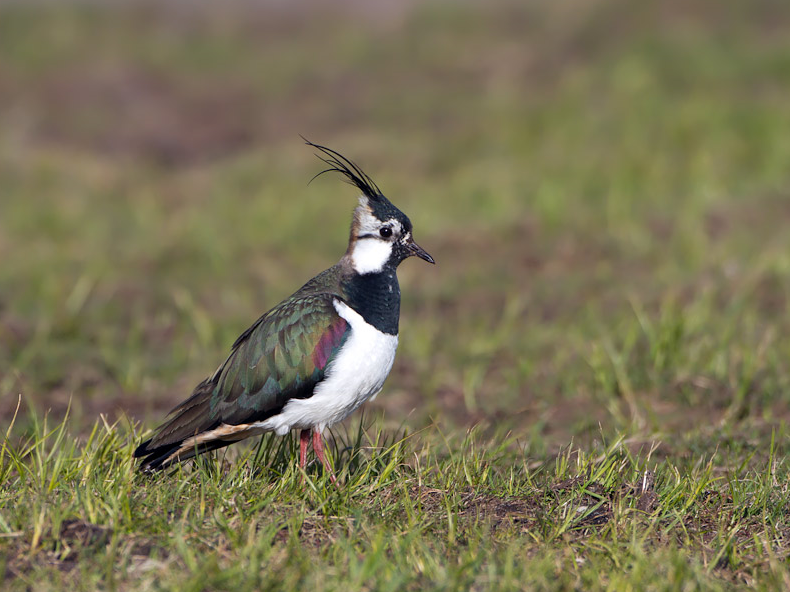
The Lower Piddle Valley Flood Fields are a series of flooded fields with freshwater and brackish water pools during early Spring, Autum and Winter and also following heavy rain. It's just one of those places anything can turn up. In Spring 2024 there were 22 different species of waders recorded, with various wildfowl and gulls.
The Lower Piddle Valley Flood Fields are located directly east of the town of Wareham. The town has a train station and also regular bus service (#40) from Poole / Swanage.
Park in one of the Wareham car parks or safely in the street. From the end of East Steet, walk along North Bestwalls Rd, which goes through a small copse and leads to Bestwalls Park. Then bear left and follow the track to a kissing gate. This then leads you into the Lower Piddle Valley Flood Fields. The footpath also forms part of the Two Rivers Walk and continues on to Swineham and the River Frome.
Allow an 30 minutes to walk along the edge of the fields, but depending on what is about a visit can last over an hour.
 ) Insérez les noms d'oiseau dans votre langue. Ils seront automatiquement traduits pour les autres usagers !
Votre feedback sera transmis à l’auteur.rice de cette zone et à l’équipe éditoriale de Birdingplaces, qui l’utiliseront pour améliorer la qualité des informations. (Vous souhaitez publier un commentaire visible en bas de page ? Fermez cette fenêtre et choisissez l’Option 1 : « Publier un commentaire, un conseil ou une observation ».)
Veuillez fournir des suggestions d'améliorations ou d'ajouts au texte de ce site ornithologique.
Veuillez fournir vos suggestions d'améliorations ou d'ajouts à la carte.
Veuillez fournir des suggestions d'améliorations ou d'ajouts à la liste des oiseaux.
Cliquez sur l'icône de l'oiseau () Insérez les noms d'oiseau dans votre langue. Ils seront automatiquement traduits pour les autres usagers !