
Charger images
Les formats d'image autorisés sont de type jpeg, png ou gif
La taille maximale du fichier doit être de 20MB
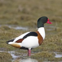
The town of Torpoint is on the West bank of the lower River Tamar (called here The Hamoaze).
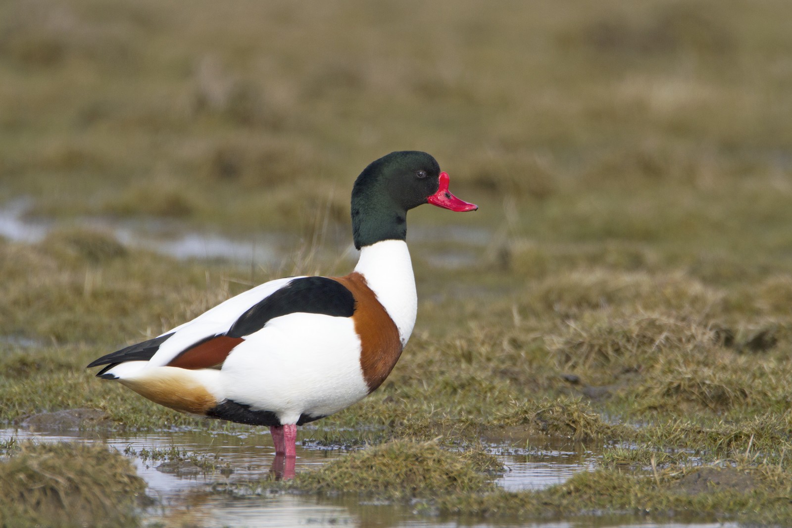
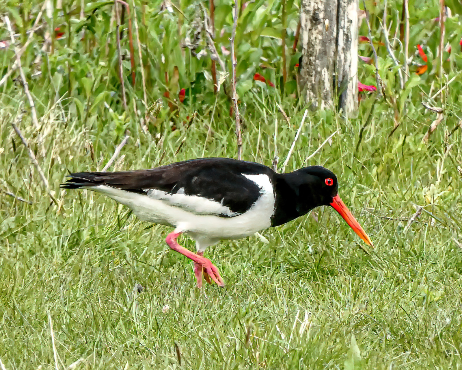
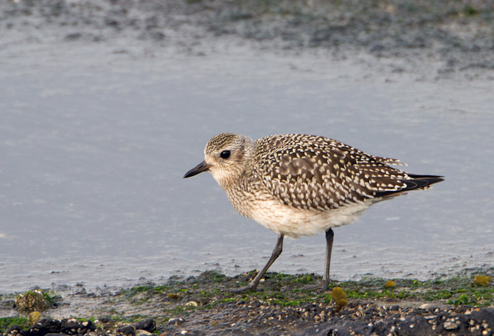
The area immediately North of the Torpoint Ferry (car/bus/pedestrian), can be divided into two distinct areas, the first is two areas of mudflats (called lakes locally) about the size of 4 football pitches at low tide and second a park area with grassland,woodland and allotments.
The Torpoint Ferry (technically a floating bridge) crosses the River from the City of Plymouth, on leaving the ferry there is a one way system towards the left, there is ample on street parking available. On site the start of the walk is on a raised walkway, that eventually turns to sandy and then seaweed covered rocks along Gravesend Lake/Gravesend Hard (point) and Thankes Lake, eventually you get to Thankes Park that has open grassland and woodland walks.
BE WARNED, after the raised walkway runs out, the remaining walk on sandy/rocky/slippery areas is below the high tide point, please check high tide times before. Plus the line of 4 STARS on map indicates the moorings (called Trots here) that are good for resting Terns.
 ) Insérez les noms d'oiseau dans votre langue. Ils seront automatiquement traduits pour les autres usagers !
Votre feedback sera transmis à l’auteur.rice de cette zone et à l’équipe éditoriale de Birdingplaces, qui l’utiliseront pour améliorer la qualité des informations. (Vous souhaitez publier un commentaire visible en bas de page ? Fermez cette fenêtre et choisissez l’Option 1 : « Publier un commentaire, un conseil ou une observation ».)
Veuillez fournir des suggestions d'améliorations ou d'ajouts au texte de ce site ornithologique.
Veuillez fournir vos suggestions d'améliorations ou d'ajouts à la carte.
Veuillez fournir des suggestions d'améliorations ou d'ajouts à la liste des oiseaux.
Cliquez sur l'icône de l'oiseau () Insérez les noms d'oiseau dans votre langue. Ils seront automatiquement traduits pour les autres usagers !