.jpg)
Charger images
Les formats d'image autorisés sont de type jpeg, png ou gif
La taille maximale du fichier doit être de 20MB
The Swineham, Wareham Water Meadows peninsula extends East from the town of Wareham towards Wareham Channel.
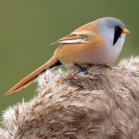
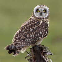
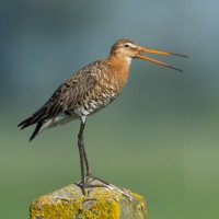
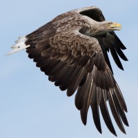
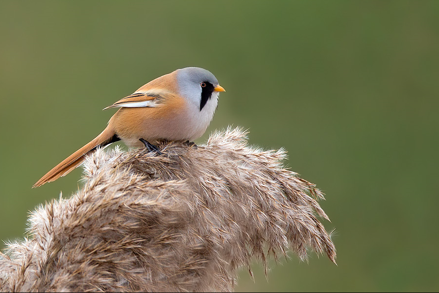
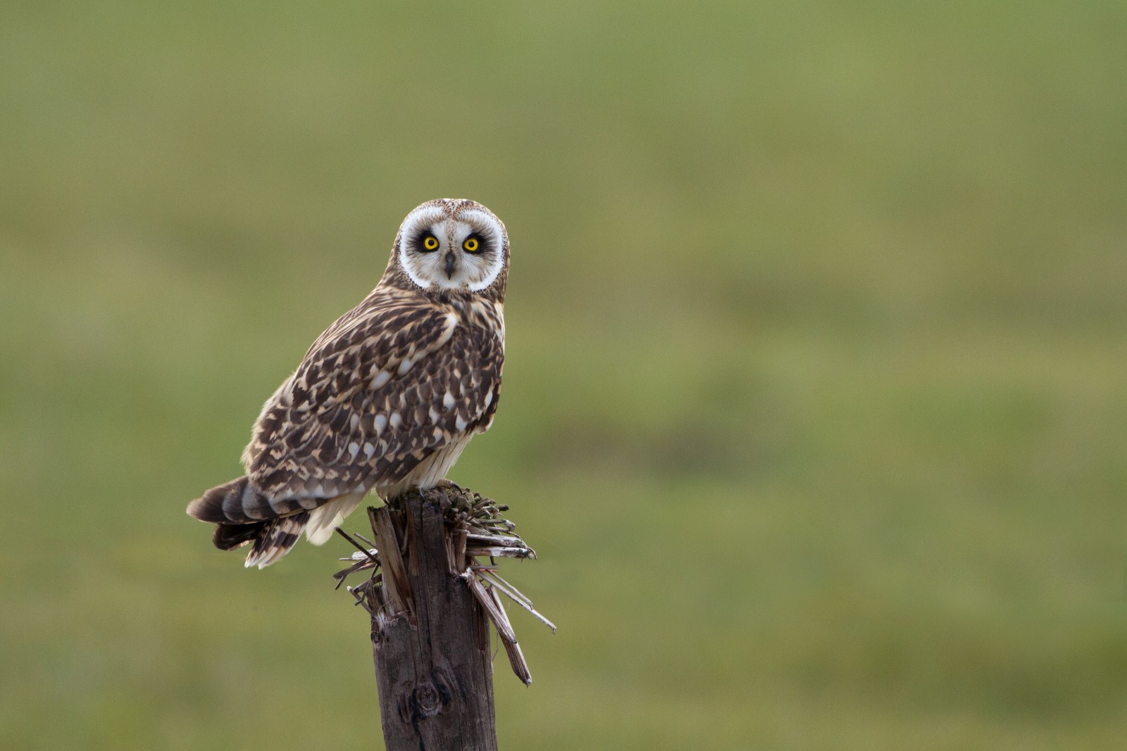
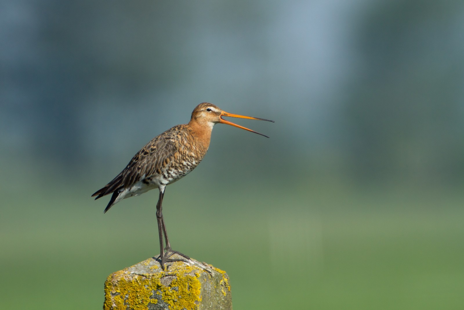
At the center of the site is a number of large lakes, once used as gravel pits. Just to the East is Swineham Point overlooking saltmarsh, reedbeds and Wareham Channel. The large area of water meadows are prone to flooding following long periods of rain, especially in Winter. The old gravel pits can hold Oie cendrée, Bernache du Canada, Canard siffleur, Canard chipeau, Sarcelle d'hiver, Canard souchet, Fuligule morillon, Foulque macroule, Grèbe castagneux, Grèbe huppé, Canard pilet, Fuligule milouin, Fuligule milouinan, Grèbe jougris, Grèbe esclavon and the occasional Plongeon catmarin. At low tide Wareham Channel holds feeding Bécasseau variable, Courlis cendré, Chevalier gambette, Huîtrier pie, Pluvier argenté, Chevalier aboyeur, Avocette élégante and Barge à queue noire many of which use the water meadows as a high tide roost. Check all Gull (Laridae) flocks carefully for more unusual species such as Goéland leucophée and Goéland à bec cerclé. The Wareham Channel is known for both Balbuzard pêcheur and Pygargue à queue blanche since the recent reintroductions in Poole Harbour and the Isle of Wight.
The A35 main road from Poole (just to the North East) and Bere Regis (far to the West) is North of the site, leave A35 at Bakers Arms Roundabout signed Wareham/Sandfoot/Swanage A351. Follow signs to Wareham on A351, at Saxon Roundabout (on Northern edge of Wareham) take exit on to B3075 (to town centre), at traffic lights turn Left into East Street and then first Left into Morton's Lane. In Morton's Lane take first Left into Howard's Lane, car park (Fee Payable - 4 hours maximum stay) is just on the Left. There is also a 1 or 2 car parking spot on Bestwell Road near rugby club (Press STAR on map).
BE AWARE, some roads are PRIVATE ROADS, but have pedestrian access.
The total walking route indicated on the map is about 9 km, but also possible to split in two.
 ) Insérez les noms d'oiseau dans votre langue. Ils seront automatiquement traduits pour les autres usagers !
Votre feedback sera transmis à l’auteur.rice de cette zone et à l’équipe éditoriale de Birdingplaces, qui l’utiliseront pour améliorer la qualité des informations. (Vous souhaitez publier un commentaire visible en bas de page ? Fermez cette fenêtre et choisissez l’Option 1 : « Publier un commentaire, un conseil ou une observation ».)
Veuillez fournir des suggestions d'améliorations ou d'ajouts au texte de ce site ornithologique.
Veuillez fournir vos suggestions d'améliorations ou d'ajouts à la carte.
Veuillez fournir des suggestions d'améliorations ou d'ajouts à la liste des oiseaux.
Cliquez sur l'icône de l'oiseau () Insérez les noms d'oiseau dans votre langue. Ils seront automatiquement traduits pour les autres usagers !