

Charger images
Les formats d'image autorisés sont de type jpeg, png ou gif
La taille maximale du fichier doit être de 20MB
Lake that is part of the Carson Range Nevada Important Bird Area. From May through July many birds can be observed on and around the lake.
Spooner Lake is a man-made reservoir at 6,972 feet (2,125 m) above sea level. It is fed by numerous seeps and snowmelt. Spooner Lake as well as much as the backcountry surrounding it lie within Lake Tahoe Nevada State Park. The reservoir covers approximately 100 acres (40 ha) and has a maximum depth of 22 feet (6.7 m). The 2.5-mile loop around the lake is a beautiful nature walk through meadows, pine and fir forest, and aspen groves.
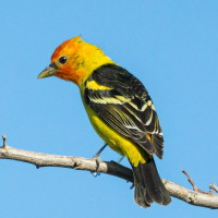
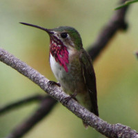
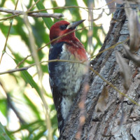
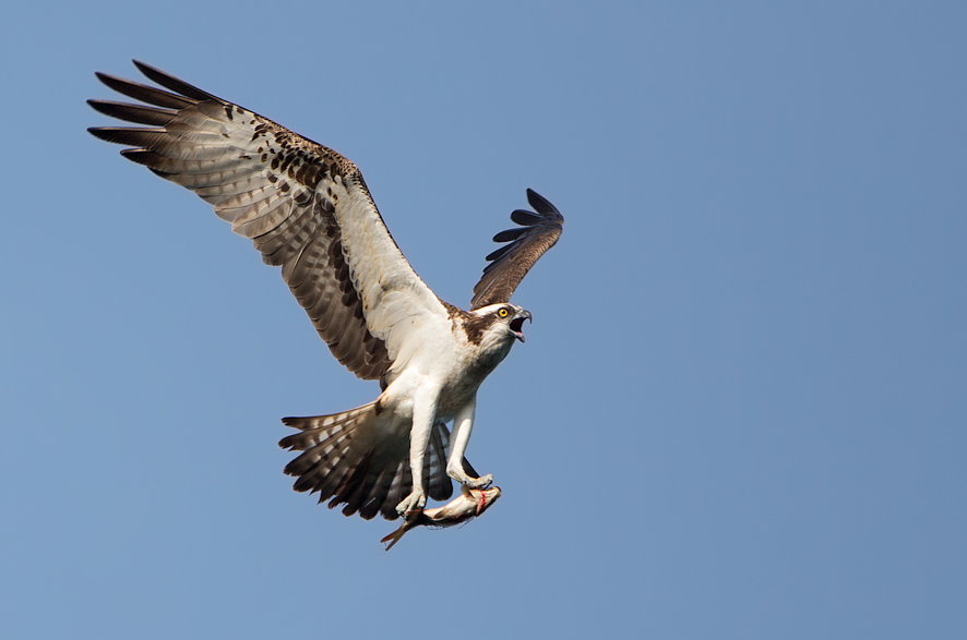
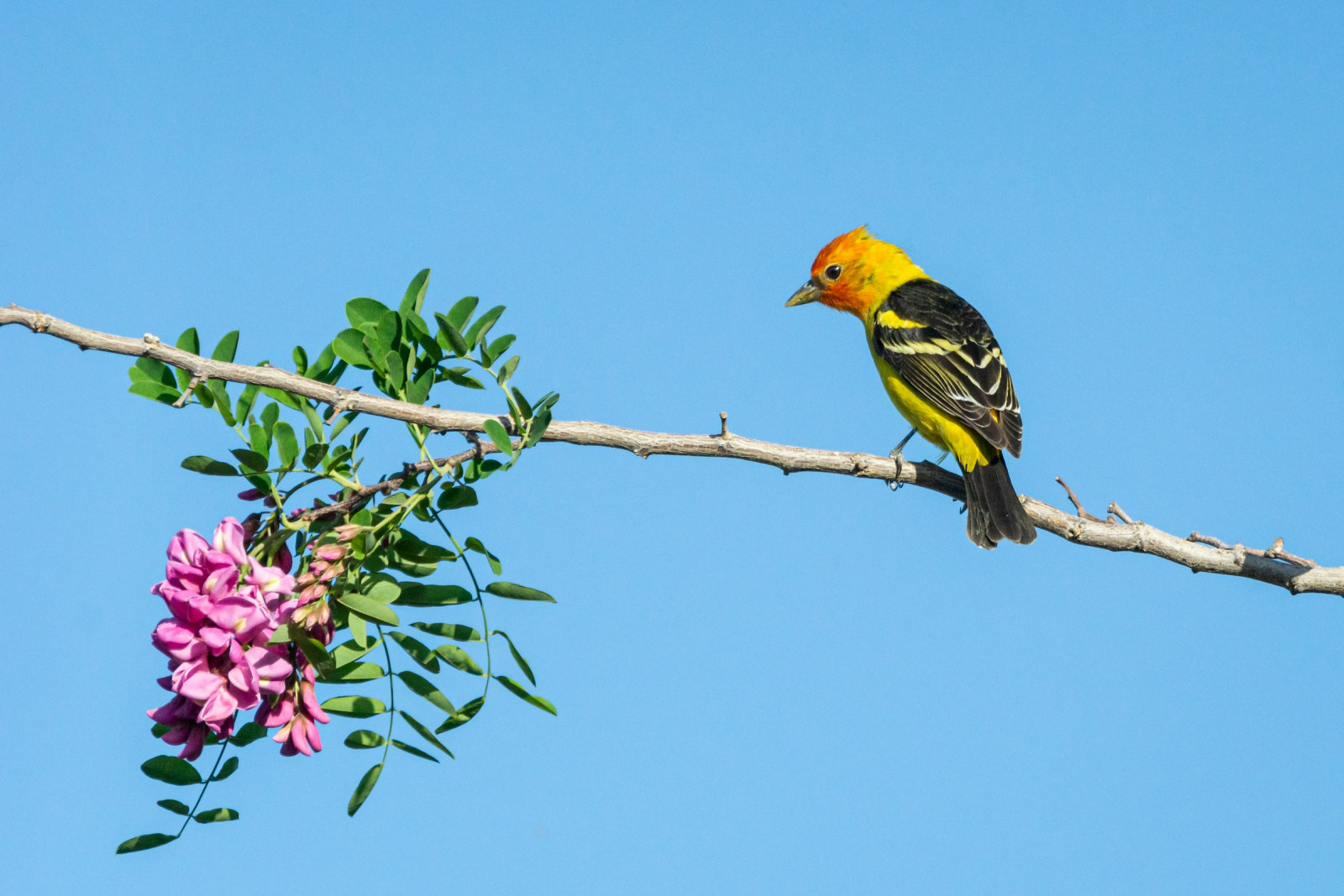
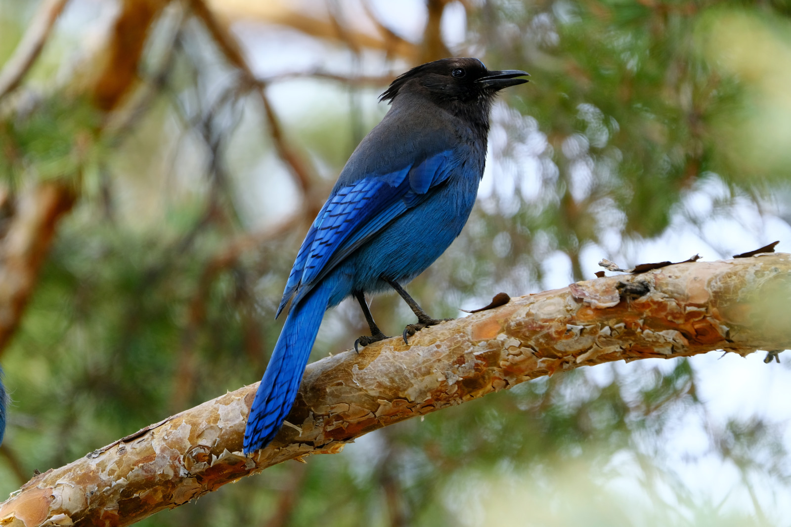
The site is good for waterfowl and woodpeckers. Osprey fish the lake. Other birds you can encounter include Steller's Jay, Clark's Nutcracker, Brown Creeper, Mountain Chickadee, Williamson's Sapsucker, Black-backed Woodpecker, Sooty Grouse, Northern Pygmy-Owl, Bald Eagle, Pygmy Nuthatch and Calliope Hummingbird. Spring migration brings Common Loon, Spotted Sandpiper, Western Wood-Pewee, Tree and Barn Swallows, Hermit Thrush, Western Tanager, Warbling Vireo and occasionally Cassin's Vireos.
Spooner Lake is located just north of the intersection of Highway 50 and Highway 28 near Spooner Summit, a pass in the Carson Range of the Sierra Nevada leading to Carson City. From the I-80 & US 395 interchange, take US 395 south approximately 27 miles to Carson City, Exit 43 North Carson Street/US 395 Business. Travel 6 additional miles south through Carson City to the US 50 west/Lake Tahoe junction. Turn right (west) on US 50 and travel approximately 9.8 miles to the US 50 & SR 28 intersection. Turn right (north) onto SR 28 and look for the Spooner Lake entrance on the right at approximately 0.6 mile. Press P in the map for directions.
Spooner Lake Management Area charges a fee to enter. Fees are $ 10 per vehicle (2024). Open Sunrise to Sunset. Visitor Center, camping and cabins are available (see the link below). The Spooner Lake Loop Trail is 2.5-mile. Don’t expect much elevation change, as this hike is almost entirely flat. If you walk clockwise, the first part of the walk is principally in the sun with the latter part passing through more wooded areas.
 ) Insérez les noms d'oiseau dans votre langue. Ils seront automatiquement traduits pour les autres usagers !
Votre feedback sera transmis à l’auteur.rice de cette zone et à l’équipe éditoriale de Birdingplaces, qui l’utiliseront pour améliorer la qualité des informations. (Vous souhaitez publier un commentaire visible en bas de page ? Fermez cette fenêtre et choisissez l’Option 1 : « Publier un commentaire, un conseil ou une observation ».)
Veuillez fournir des suggestions d'améliorations ou d'ajouts au texte de ce site ornithologique.
Veuillez fournir vos suggestions d'améliorations ou d'ajouts à la carte.
Veuillez fournir des suggestions d'améliorations ou d'ajouts à la liste des oiseaux.
Cliquez sur l'icône de l'oiseau () Insérez les noms d'oiseau dans votre langue. Ils seront automatiquement traduits pour les autres usagers !