Description
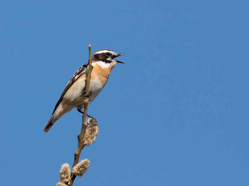
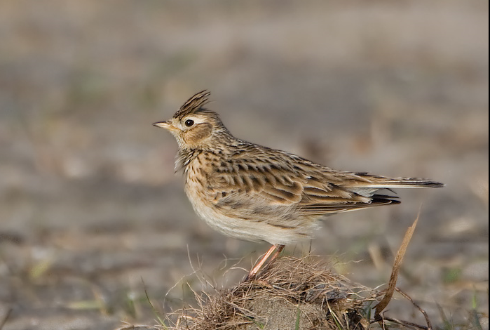
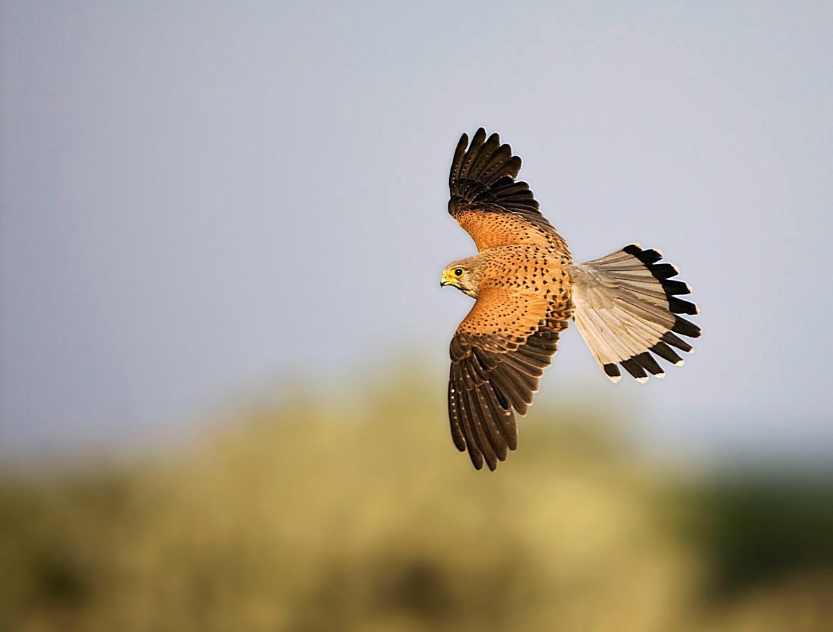
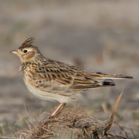
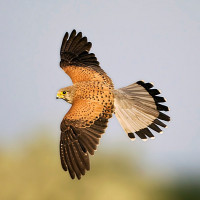
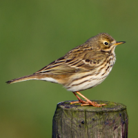
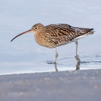
Worsthorne Moor is located east of Burnley and part of The South Pennine Moors. The moor provides habitat for birds such as Veliki Pozviždač, Poljska Ševa, Livadna Trepetljka, Juričica, Sivkasta Bjeloguza, Smeđoglavi Batić and Sivi Sokol.
Details
Access
Worsthorne Moor is located 2 miles (5 km) east of Burnley. The suggested 7,5 mile (12 km) circular walking route indicated on the map starts at Worsthorne Moor car park at the Long Causeway. Click on the P in the map for directions to the car park. The route gradually climbs up, joining a section of The Pennine Bridleway. It also reaches Hurstwood Reservoir and Cant Clough Reservoir. Some parts can get rather muddy during wetter months, so it is best to come prepared with appropriate footwear.
 ) to insert bird names in your own language. The birdnames will automatically be translated for other users!