Descrizione
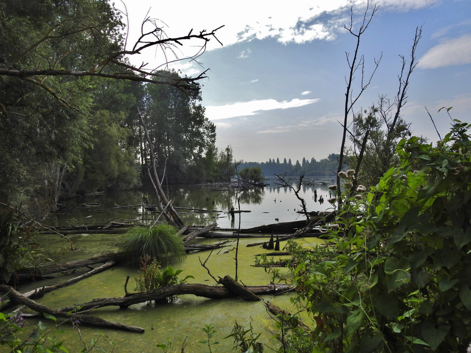
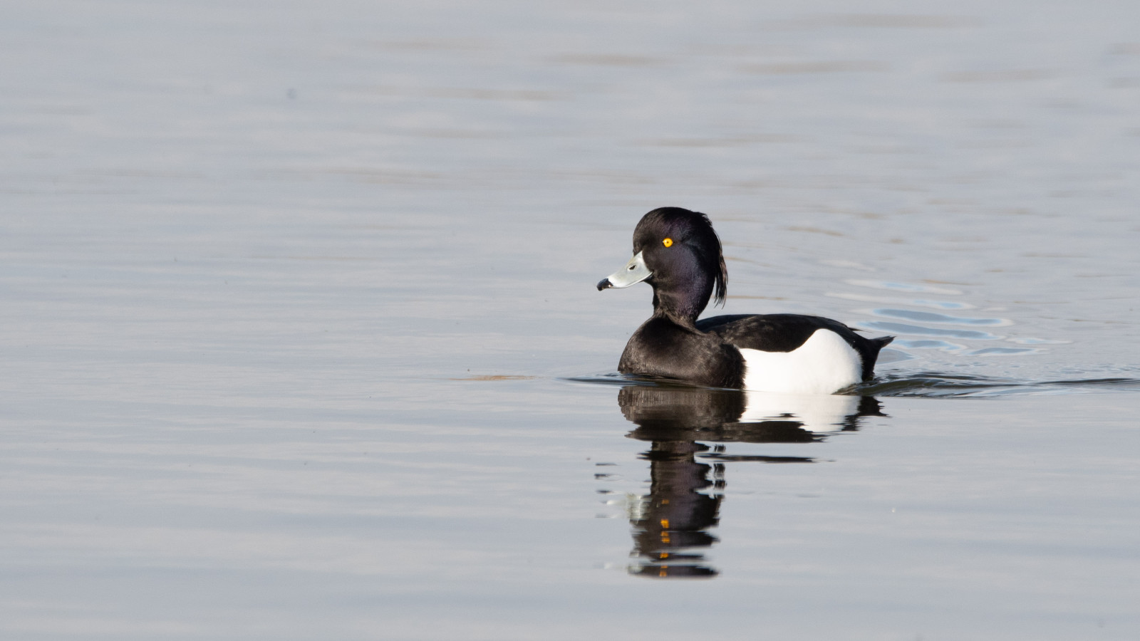
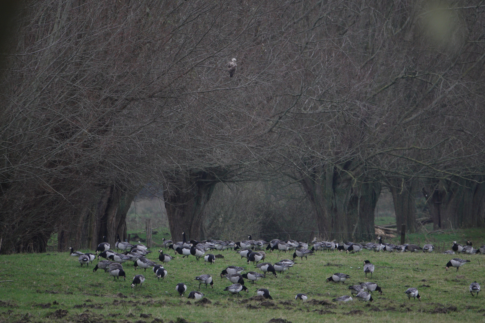
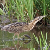
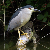
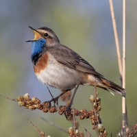
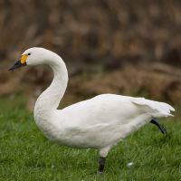
Les Marais d'Harchies consists of four large ponds, marshes, 24 hectares of reed beds and meadows with pollard willow. The wetland was created when subsidence from mining began to fill with water from the 1920s. Between 1968 and 1971, the marshes were drained for a construction project that failed, and the area was subsequently purchased for protection. As a result, they were refilled with groundwater and rainwater. The area now consists of a patchwork of ponds, marses and open meadows which offer ideal conditions and quietness for breeding birds. At the observatories, you may see: Airone bianco maggiore, Cigno minore, Pettazzurro, Nitticora and Falco pescatore.
Dettagli
Accesso
Coming from Namur, Charleroi, Mons, take the 26th exit on the E42 highway "Dour, Pommeroeul". Follow signs Harchies, then CRIE d'HArchies boards. Coming from Tournai, Courtrai take the 27th exit on the E42 highway. Click on a P in the map to get directions to a parking place.
Terreno e habitat
Zona umida , CannetiCaratteristiche dell’area
Terreno piano , PaludosoPercorso ad anello
SiÈ utile un cannocchiale?
Può essere utileBuona stagione per il BW
Tutto l'annoMiglior periodo per visitare
Migrazione primaverile , Inverno , Primavera , Autunno , Migrazione autunnalePercorso
Strada sterrataGrado di difficoltà del percorso a piedi
FacileModalità di accesso
A piedi , BiciclettaCapanno/torretta di osservazione
SiInformazioni aggiuntive
The trail marked on the map is about 7 km and leads you to all the best places.

 ) per inserire i nomi delle specie nella tua lingua. I nomi delle specie verranno automaticamente tradotti per gli altri utenti!