
Descrizione
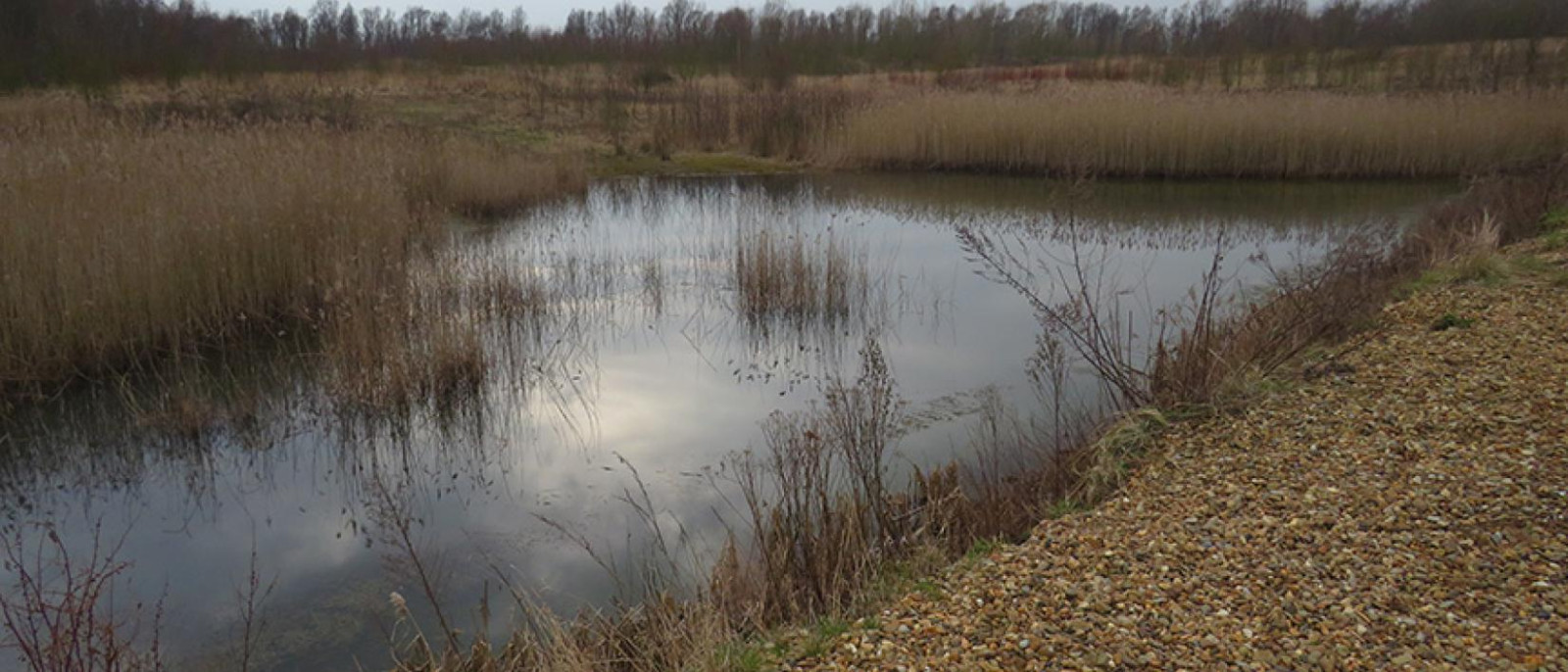
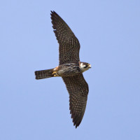
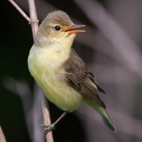
The Vuile Plas covers an area of 20 hectares. The site is situated west of the E19 motorway, south of the Edegemse Beek stream, east of the restored "Vuile Plas" farm (hence the area's name), and north of the Baddenbroekse Hoeven. The sandy soils brought there were intended to be used to construct the junction of the Antwerp Ring Road. Since this ring road never materialised, the sandy plain gradually, after excavation, evolved into a varied landscape with shallow pools with reed collars, birch groves, and a few open sandy areas. Based on an inventory of valuable birds, mammals, insects, and plants, it appears that this site has developed into a valuable nature reserve and, according to some, the most beautiful in Antwerp's southern outskirts.
_________________________
Nederlands: De Vuile Plas beslaat een oppervlakte van 20 hectare. Het terrein is gelegen ten westen van de snelweg E19, ten zuiden van de Edegemse Beek, ten oosten van de gerestaureerde hoeve "Vuile Plas" (vandaar de naam van het gebied) en ten noorden van de Baddenbroekse Hoeven. De aldaar aangevoerde zandgronden waren bedoeld om er de aansluiting van de Grote Ring rond Antwerpen mee aan te leggen. Daar die ringweg er niet kwam, is die zandvlakte stilaan, na afgravingen, geëvolueerd tot een gevarieerd terrein met ondiepe plassen met rietkraag, berkenbosjes en enkele open zandstukken. Op basis van een inventarisatie van waardevolle vogels, zoogdieren, insecten en planten blijkt dat dit terrein zich tot waardevol natuurgebied heeft ontwikkeld en volgens sommigen het mooiste van de Antwerpse Zuidrand.
Dettagli
Accesso
The Vuile Plas is located along the border with Edegem in the municipality of Kontich (northwest of the center). The Vuile Plas is difficult to reach by car. On the south side, you can park next to the bridge on the Groeningenlei, and on the north side, the car park of the local golf club is an option. From there, you can reach the area after a short walk. Both entrances to the area are easily accessible by bike.
_________________________
Nederlands: De Vuile Plas ligt langs de grens met Edegem op het grondgebied van de gemeente Kontich (in het noordwesten t. o. v. het centrum). De Vuile Plas is met de auto moeilijk bereikbaar. Langs de zuidkant kan je parkeren naast de brug aan de Groeningenlei, en langs de noordkant is de parking van de plaatselijke golfclub een mogelijkheid. Vanaf hier kan je na een kleine wandeling het gebied bereiken. Met de fiets zijn beide toegangen van het gebied vlot bereikbaar.

 ) per inserire i nomi delle specie nella tua lingua. I nomi delle specie verranno automaticamente tradotti per gli altri utenti!