Descrizione
NOTE. This site shares part of the same location and passes under Drake's Trail Yelverton to Grenofen Tunnel (see separate entry), but has a different starting point.
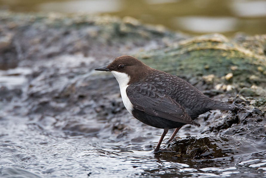
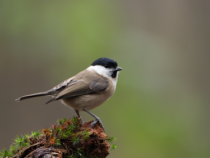
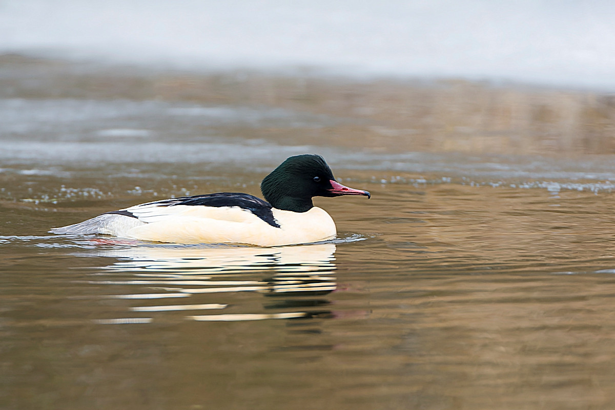
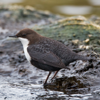
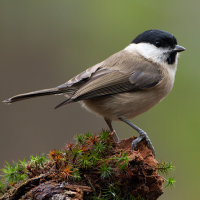
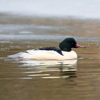
The River Walkham rises on Dartmoor and passes through Horrabridge, eventually joining the River Tavy further downstream, at Horrabridge it goes through woodland all the way to the River Tamar. Having very similar species as Drake's Trail you can also expect to add Merlo acquaiolo, Smergo maggiore, Saltimpalo, Cincia bigia, Sterpazzola and Ballerina gialla. As well as following the river through woodland the return takes you past more open moorland/grassland with Gorse (Ulex) and woodland edges, the walk passes under both Gem Bridge and Magpie Bridge (press STARS on map).
Dettagli
Accesso
The A386 main road from Tavistock (to the North West) and Plymouth (to the South). From Plymouth leave Northwards on A386 signed Tavistock, at village of Yelverton get in Left hand lane and at roundabout take first exit signed Tavistock A386. Pass through village of Horrabridge, on passing Road Narrows - Oncoming Vehicles In Middle Of Road sign, turn Left into car park signed Drake's Trail. From Tavistock leave on A386 signed Plymouth, continue on A386, on passing Road Narrows - Oncoming Vehicles In Middle Of Road sign (wooded area), pass over narrow Bedford Bridge, turn first Right (unsigned from this direction) into Drake's Trail car park.
Terreno e habitat
Alberi e cespugli sparsi , Foresta , Prateria/pascolo , Brughiere/lande , Valle , Fiume , Città/paeseCaratteristiche dell’area
Terreno piano , Paludoso , Scivoloso , Paesaggio aperto , RocciosoPercorso ad anello
SiÈ utile un cannocchiale?
Può essere utileBuona stagione per il BW
Tutto l'annoMiglior periodo per visitare
Primavera , Autunno , Migrazione autunnale , Migrazione primaverile , EstatePercorso
Strada asfaltata , Strada sterrata , Sentiero stretto , Sentiero ampioGrado di difficoltà del percorso a piedi
Difficoltà mediaModalità di accesso
A piedi , Bicicletta , MacchinaCapanno/torretta di osservazione
NoInformazioni aggiuntive
The circular walk indicated on the map is about 4,5 km long.
 ) per inserire i nomi delle specie nella tua lingua. I nomi delle specie verranno automaticamente tradotti per gli altri utenti!