
Descrizione
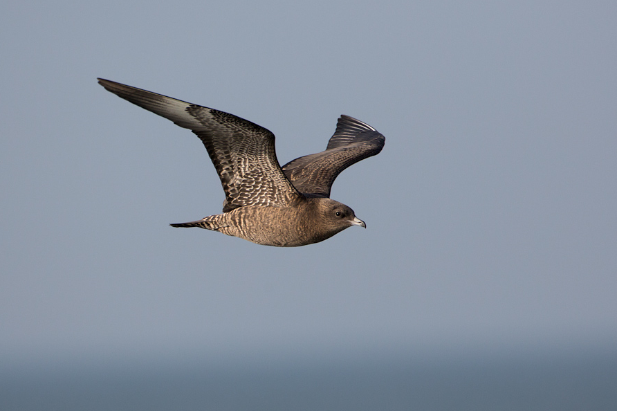
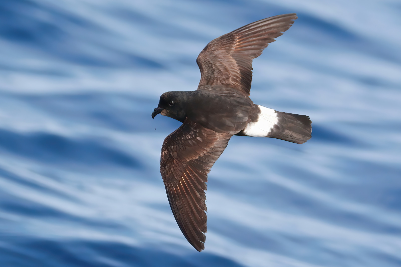
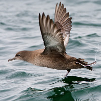
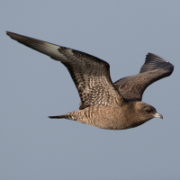
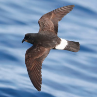
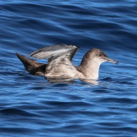
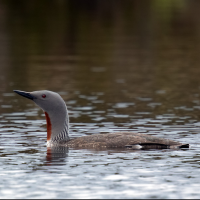
Dodman Point (or locally called The Deadman), is the South Cornwall coasts highest sea cliffs rising up to 374 feet (114 meters), the point is dominated by a 20 foot granite cross, once erected as a religious symbol it is now used as a ship navigational aid. Just inland of the cross is an old coastal watchpoint built in the the late 1700's, living testament to the sensational long distance sea views available here. Whilst the headland is primarily a seawatching point, it does have a good list of landbirds as well such as Beccafico, Forapaglie macchiettato, Sparviere and Capinera. For those seawatching Orchetto marino, Edredone, Strolaga minore and passing Uccello delle tempeste, Berta balearica and Stercorario mezzano depending on season and weather/wind direction.
Dettagli
Accesso
The A390 main road runs between the village of Grampound (to the West) and the town of St Austell (to the East). Leave Grampound Eastwards on A390 to St Austell. Soon after leaving Grampound look for Right turn sign (often obscured) and turn Right using middle turning lane, this road with high hedges becomes narrow and eventually becomes the B3287, (*A) continue on this road and turn Left signed Portholland/Caerhays/Polmassick Vineyard. At next junction turn Left signed Polmassick/St Ewe, this road becomes very narrow. Continue through Polmassick (Note village sign spells it Polmassick), continue on narrow roads until junction and turn Right signed Gorran/Gorran Haven, this road now widens. Continue on this road and at next junction (with large trees on a bend) turn Right at small sign to Penare. At crossroads go straight ahead signed Penare, this road now narrows, at next farm entrance road bends sharp to the Right, continue on this narrow road (Note sea comes into view). This road bends sharp to the Right, road passes through farm buildings, turn Right at sign Single Track Road With Passing Places, National Trust car park (Fee Payable) is just on the Right. If traveling from St Austell on A390, at village of Hewas Water turn Left signed Tregony B3287, continue on B3287, at next junction turn Right signed Tregony B3287/St Mawes (A3078), at next junction turn Left signed Tregony/St Mawes B3287 and follow from (*A) above.
Terreno e habitat
Alberi e cespugli sparsi , Prateria/pascolo , Mare , Terreni coltivati , Canyon/scoglieraCaratteristiche dell’area
Terreno piano , Paesaggio aperto , CollinosoPercorso ad anello
SiÈ utile un cannocchiale?
SiBuona stagione per il BW
Tutto l'annoMiglior periodo per visitare
Inverno , Migrazione primaverile , Migrazione autunnale , Autunno , PrimaveraPercorso
Strada asfaltata , Sentiero ampio , Strada sterrata , Sentiero strettoGrado di difficoltà del percorso a piedi
Difficoltà mediaModalità di accesso
A piedi , Bicicletta , MacchinaCapanno/torretta di osservazione
NoInformazioni aggiuntive
The circular walk indicated on the map is about 4 km.
 ) per inserire i nomi delle specie nella tua lingua. I nomi delle specie verranno automaticamente tradotti per gli altri utenti!