
Descrizione
Millbrook Lake used to be tidal for it's full length, but in recent years a barrage has been built forming an actual lake at it's western end. During low tide the main estuary is virtually empty of water, so the usual 3 hours either side of high tide is best. BE WARNED the town has very narrow roads and one way systems in places, *these narrow roads are on a bus route so be very cautious and do not stray from your car*. There is a car park in the centre of the town and if you are going to spend a prolonged time at this site I would advise you to use it.
Dettagli
Accesso
You can approach the town using the B3247, or by cycle using the Cremyll pedestrian ferry (charge incurred) from The City of Plymouth, as suggested earlier you can catch a bus direct from Plymouth to the town. As well as the marked out and back route along the south shore road, you can obviously extend it further east to take in more of the main estuary.
Terreno e habitat
Alberi e cespugli sparsi , Prateria/pascolo , Fiume , Mare , Città/paese , Terreni coltivati , Velme , LagoCaratteristiche dell’area
Terreno piano , Acqua alta possibilePercorso ad anello
SiÈ utile un cannocchiale?
SiBuona stagione per il BW
Inverno , Primavera , AutunnoMiglior periodo per visitare
Inverno , Primavera , Autunno , Migrazione autunnale , Migrazione primaverilePercorso
Strada asfaltata , Sentiero ampioGrado di difficoltà del percorso a piedi
FacileModalità di accesso
A piedi , Bicicletta , Macchina , Sedia a rotelleCapanno/torretta di osservazione
NoInformazioni aggiuntive
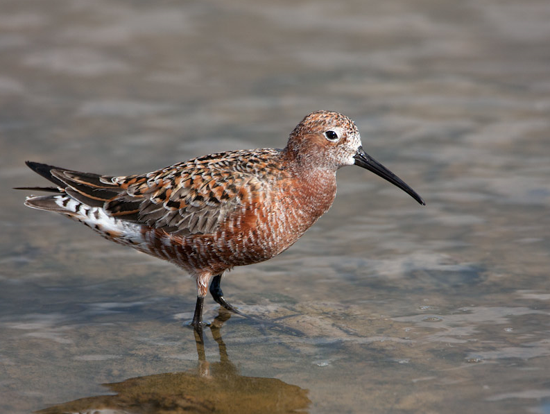
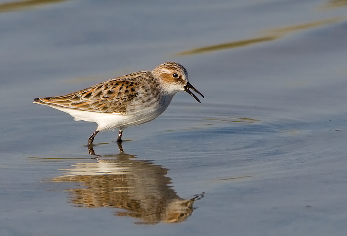
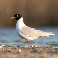
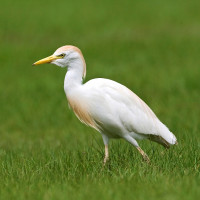
On very exceptional high spring tides the southern estuary road can flood when strong winds are from the south pushing water up the Tamar Estuary. Because this is a fairly smallish estuary for the area, it is well sheltered by surrounding hills and is noted for autumn migrant waders.

 ) per inserire i nomi delle specie nella tua lingua. I nomi delle specie verranno automaticamente tradotti per gli altri utenti!