
Descrizione
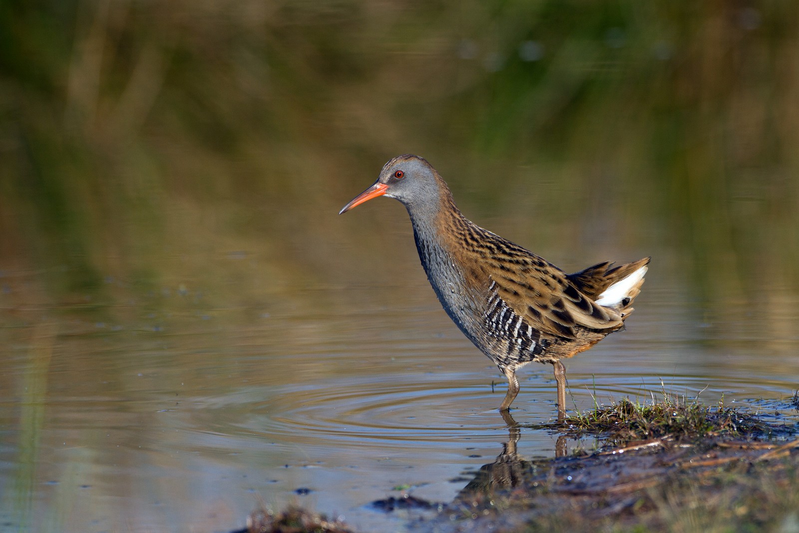
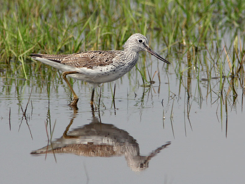
The Estuary runs roughly North East to South West with the village of Averton Gifford at it's head and Bantham at it's mouth, during the Autumn of 2020 a Totano zampegialle minore spent some time on the upper estuary and saltmarsh, so rarities can be expected. On the Northern edge of the estuary is a TIDAL ROAD that runs East to West, further North is farmland with minor roads and footpaths that make a good circular walk.
Dettagli
Accesso
From Plymouth take the A379 Eastward, passing through Brixton, Yealmpton and Modbury. The road eventually turns more Southerly and arrives at Averton Gifford, where there is a car park/boat park on the right just before the bridges.
Terreno e habitat
Alberi e cespugli sparsi , Foresta , Zona umida , Prateria/pascolo , Valle , Fiume , Mare , Canneti , Città/paese , Terreni coltivati , Velme , SpiaggiaCaratteristiche dell’area
Terreno piano , Collinoso , Paesaggio aperto , Acqua alta possibile , Scivoloso , PaludosoPercorso ad anello
SiÈ utile un cannocchiale?
SiBuona stagione per il BW
Tutto l'annoMiglior periodo per visitare
Migrazione primaverile , Migrazione autunnale , Inverno , Estate , Primavera , AutunnoPercorso
Strada asfaltata , Sentiero ampio , Sentiero strettoGrado di difficoltà del percorso a piedi
Difficoltà mediaModalità di accesso
A piedi , Bicicletta , MacchinaCapanno/torretta di osservazione
SiInformazioni aggiuntive
BEWARE OF HIGH TIDE on the TIDAL ROAD. Rather than do the long circular walk on Northern farmland take short cuts to save time.


 ) per inserire i nomi delle specie nella tua lingua. I nomi delle specie verranno automaticamente tradotti per gli altri utenti!