Descrizione
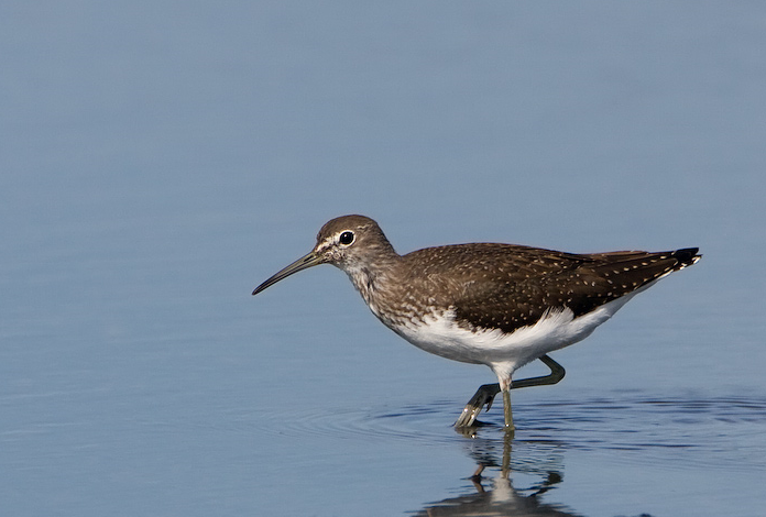
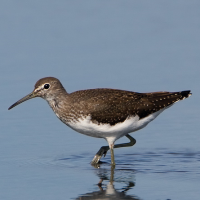
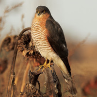
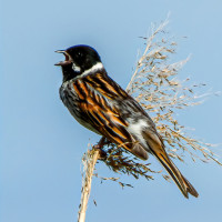
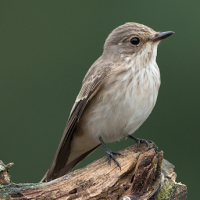
Roding Valley Meadows is a reserve managed by Essex Wildlife Trust. It comprises of river water meadows that frequently flood in Winter when the River Roding overspills it's banks. During this time of flooding there can be an increase in Gull (Laridae) species. There are two footbridges over the river, so you can gain access to the recreation ground and large lake. There are over 10 miles of ancient hedgerows surrounding numerous meadows. Pispola, Codirosso, Stiaccino, Saltimpalo, Culbianco and Pigliamosche are frequently seen on passage, especially in Autumn. The Recreation Lake most years has Tuffetto, Svasso maggiore, Mestolone, Canapiglia, Moretta, colder weather increases the chance of Fischione and Smergo maggiore. The river has Martin pescatore and Ballerina gialla. Both Cannaiola and Migliarino di palude can usually be found towards the North East of the reserve and later in the year both Piro piro culbianco and Piro piro piccolo are regular visitors. Once a year there is a haycut of the meadows, BE AWARE livestock may be present on site, please make sure you close all gates after passing through.
Some more unusual birds that have been seen on the reserve since 2007 are Oca colombaccio, Forapaglie macchiettato, Quaglia, Fistione turco, Svasso collorosso, Poiana calzata, Porciglione, Beccaccia and Gabbiano reale.
Dettagli
Accesso
Even though the M11 Motorway runs directly beside the reserve, there are a lot of roadworks and construction ongoing in the immediate area. There are two car parks (Free), one at the David Lloyd Tennis Centre and one at Grange Farm. For directions press P on map.
Terreno e habitat
Alberi e cespugli sparsi , Prateria/pascolo , Valle , Lago , Città/paese , Terreni coltivati , Canneti , Fiume , Zona umidaCaratteristiche dell’area
Terreno piano , Acqua alta possibile , Paludoso , Scivoloso , AsciuttoPercorso ad anello
SiÈ utile un cannocchiale?
SiBuona stagione per il BW
Tutto l'annoMiglior periodo per visitare
Inverno , Primavera , AutunnoPercorso
Strada asfaltata , Sentiero ampio , Strada sterrata , Sentiero strettoGrado di difficoltà del percorso a piedi
FacileModalità di accesso
A piedi , Bicicletta , MacchinaCapanno/torretta di osservazione
NoInformazioni aggiuntive
The walk on the map (about 4,5 mile) covers all main habitats, you can of course take many shortcuts due to time constraints.
 ) per inserire i nomi delle specie nella tua lingua. I nomi delle specie verranno automaticamente tradotti per gli altri utenti!