
.jpg)
Descrizione
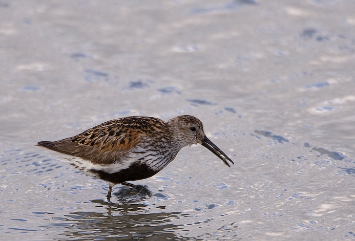
The Torpoint Peninsula area can be walked on footpaths through farmland/woodland and along roads with and without footpaths. It includes Wilcove Lake (small estuary), Jupiter Point (Royal Navy Seamanship School), the town of Torpoint itself and open farmland with a possibility of Zigolo nero and Spatola throughout the walk.
Dettagli
Accesso
The town of Torpoint is on the west bank of the River Tamar (at this point called the Hamoaze) reached by Pedestrian/Car ferry from The City of Plymouth. On leaving ferry continue on A374, which slowly climbs out of the town, when it flattens out turn left onto Trevol Road signposted HMS Raleigh (Naval Camp), continue on this road and look for a pull in on right just as naval camp ends (signed Horson Cemetery). Park here and continue on foot following the map. The total length of the route shown on the map is about 12 km.
Terreno e habitat
Foresta , Alberi e cespugli sparsi , Prateria/pascolo , Fiume , Città/paese , Terreni coltivati , Velme , SpiaggiaCaratteristiche dell’area
Collinoso , Roccioso , Paesaggio aperto , Acqua alta possibile , Paludoso , ScivolosoPercorso ad anello
SiÈ utile un cannocchiale?
SiBuona stagione per il BW
Tutto l'annoMiglior periodo per visitare
Inverno , Estate , Migrazione primaverile , Primavera , Autunno , Migrazione autunnalePercorso
Strada asfaltata , Sentiero ampio , Sentiero strettoGrado di difficoltà del percorso a piedi
Difficoltà mediaModalità di accesso
A piedi , Bicicletta , MacchinaCapanno/torretta di osservazione
NoInformazioni aggiuntive
Pay attention to STAR ICONS in village of Wilcove.


.jpg)


 ) per inserire i nomi delle specie nella tua lingua. I nomi delle specie verranno automaticamente tradotti per gli altri utenti!