Descrizione
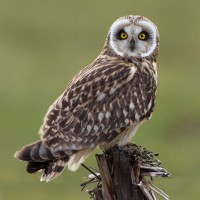
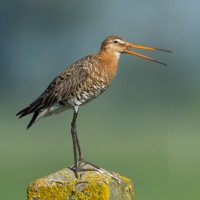
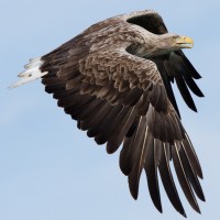
At the center of the site is a number of large lakes, once used as gravel pits. Just to the East is Swineham Point overlooking saltmarsh, reedbeds and Wareham Channel. The large area of water meadows are prone to flooding following long periods of rain, especially in Winter. The old gravel pits can hold Oca selvatica, Oca canadese, Fischione, Canapiglia, Alzavola, Mestolone, Moretta, Folaga, Tuffetto, Svasso maggiore, Codone, Moriglione, Moretta grigia, Svasso collorosso, Svasso cornuto and the occasional Strolaga minore. At low tide Wareham Channel holds feeding Piovanello pancianera, Chiurlo maggiore, Pettegola, Beccaccia di mare, Pivieressa, Pantana, Avocetta and Pittima reale many of which use the water meadows as a high tide roost. Check all Gull (Laridae) flocks carefully for more unusual species such as Gabbiano reale and Gavina americana. The Wareham Channel is known for both Falco pescatore and Aquila di mare since the recent reintroductions in Poole Harbour and the Isle of Wight.
Dettagli
Accesso
The A35 main road from Poole (just to the North East) and Bere Regis (far to the West) is North of the site, leave A35 at Bakers Arms Roundabout signed Wareham/Sandfoot/Swanage A351. Follow signs to Wareham on A351, at Saxon Roundabout (on Northern edge of Wareham) take exit on to B3075 (to town centre), at traffic lights turn Left into East Street and then first Left into Morton's Lane. In Morton's Lane take first Left into Howard's Lane, car park (Fee Payable - 4 hours maximum stay) is just on the Left. There is also a 1 or 2 car parking spot on Bestwell Road near rugby club (Press STAR on map).
BE AWARE, some roads are PRIVATE ROADS, but have pedestrian access.
Terreno e habitat
Foresta , Zona umida , Lago , Spiaggia , Velme , Terreni coltivati , Città/paese , Canneti , Mare , Fiume , Alberi e cespugli sparsiCaratteristiche dell’area
Terreno piano , Paludoso , Scivoloso , Acqua alta possibile , Paesaggio apertoPercorso ad anello
SiÈ utile un cannocchiale?
SiBuona stagione per il BW
Tutto l'annoMiglior periodo per visitare
Inverno , Migrazione primaverile , Primavera , Autunno , Migrazione autunnalePercorso
Strada asfaltata , Sentiero ampio , Strada sterrata , Sentiero strettoGrado di difficoltà del percorso a piedi
FacileModalità di accesso
A piedi , Bicicletta , MacchinaCapanno/torretta di osservazione
NoInformazioni aggiuntive
The total walking route indicated on the map is about 9 km, but also possible to split in two.
.jpg)
 ) per inserire i nomi delle specie nella tua lingua. I nomi delle specie verranno automaticamente tradotti per gli altri utenti!