 by ADJ82, CC BY-SA 4.0 httpscreativecommons.orglicensesby-sa4.0, via Wikimedia Commons.jpg)
Descrizione
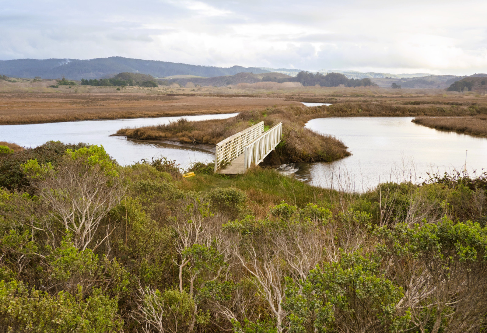
Pescadero Marsh Natural Preserve is a 235‑acre wetland located on the inland side of Highway 1 in Pescadero. It surrounds the meeting point of Butano Creek and Pescadero Creek. The preserve is part of Pescadero State Beach and contains a mix of habitats, including tidal estuary, freshwater marsh, brackish marsh, riparian woodland, and coastal scrub. The Sequoia Audubon Trail is the main trail through the Preserve. Please stay on the trails to protect wildlife and plants.
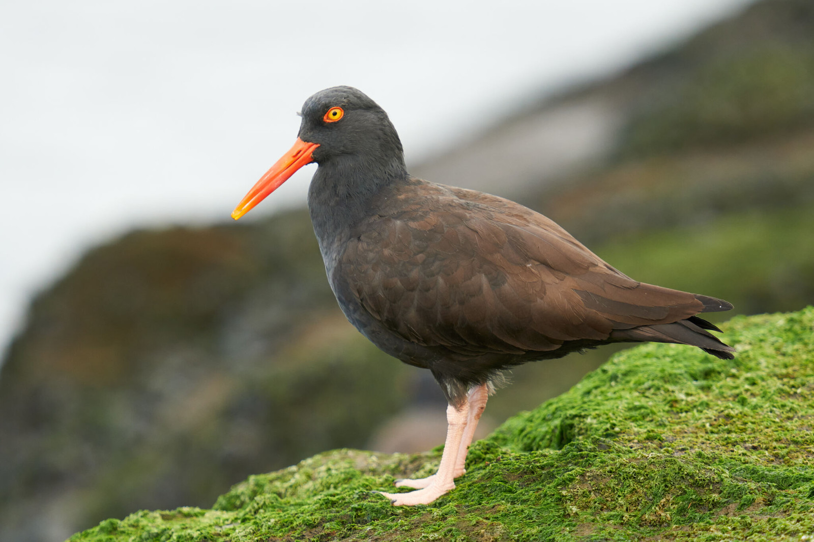
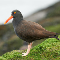
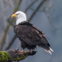
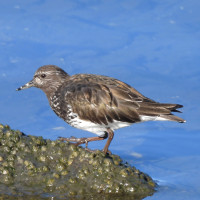
Almost 300 species of birds have been recorded in the wetland, including more than 60 that nest there. Birds you can observe include Black Oystercatcher, Black Turnstone, Hudsonian Whimbrel, Marbled Godwit, Long-billed Curlew, Wandering Tattler, Greater Yellowlegs, Surfbird, Caspian Tern, Brandt's Cormorant, Pelagic Cormorant, Double-crested Cormorant, Brown Pelican, Bald Eagle, Northern Harrier, Belted Kingfisher, Marsh Wren and many species of herons, ducks and geese.
Dettagli
Accesso
Pescadero Marsh Natural Preserve sits on the east side of Highway 1, directly across from Pescadero State Beach. It lies about 15 miles south of Highway 92 along the San Mateo County coast. You should use one of the Pescadero State Beach parking lots on Highway 1. Press a P on the map for directions to a parking lot.
Several hiking trails are available in the area. North Pond Trail (1) is accessed across the road from the northern parking lot or from the Sequoia Audubon Trail. Sequoia Audubon Trail (2) is accessed from the central Pescadero State Beach parking lot and follows the southern edge of North Marsh. Butano Trail (3) is accessed from a parking area on Pescadero Road just off Highway 1 and leads to Butano Creek.
 by ADJ82, CC BY-SA 4.0 httpscreativecommons.orglicensesby-sa4.0, via Wikimedia Commons.jpg)
 Wikimedia Commons.jpg)
 ) per inserire i nomi delle specie nella tua lingua. I nomi delle specie verranno automaticamente tradotti per gli altri utenti!