Beschrijving
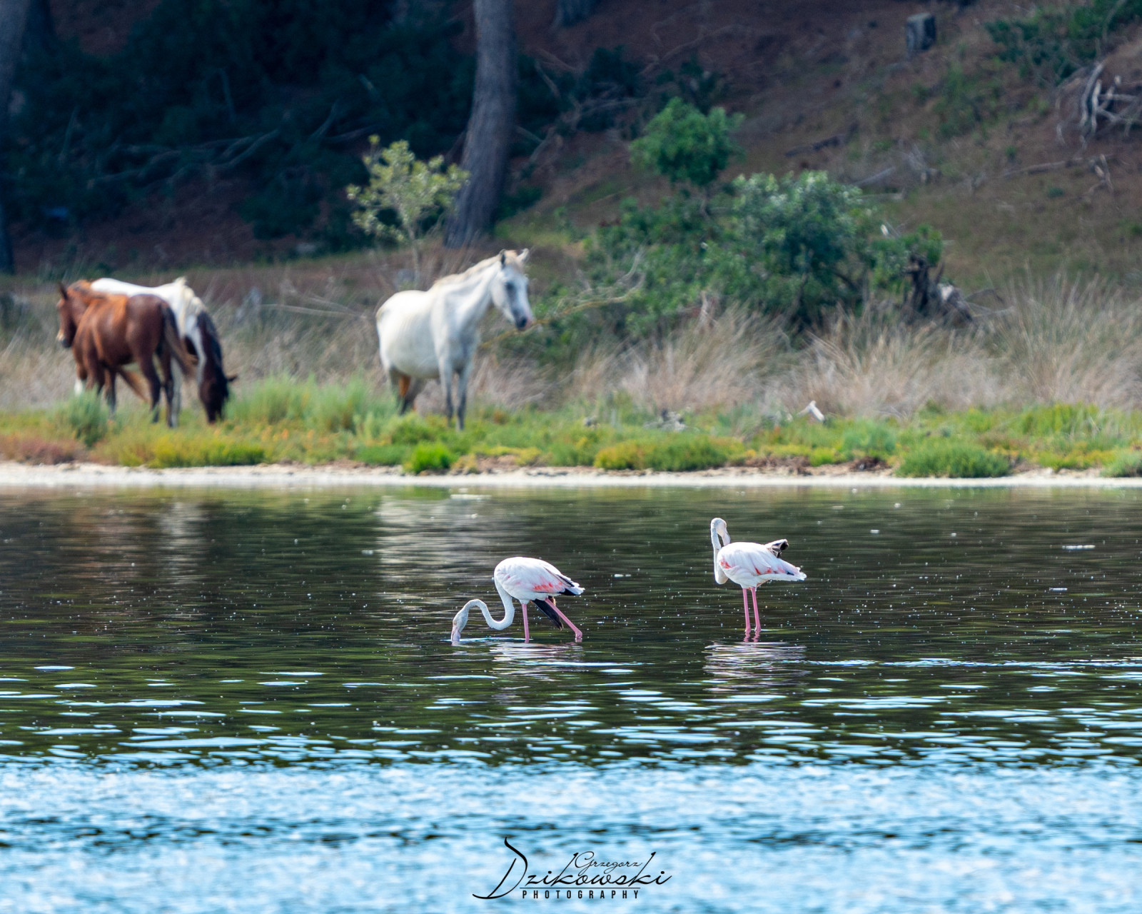
Narta Lagoon (Albanian: Laguna e Nartës) is a lagoon of the Adriatic Sea on the Mediterranean Sea in the central coast of Albania. The lagoon extends north of the Bay of Vlorë on the eastern shore of the Strait of Otranto and is separated from the sea by a narrow coastal strip, consisting of an alluvial dune. The lagoon has a surface of 41.8 km2 with a maximal depth of 1.5 m.
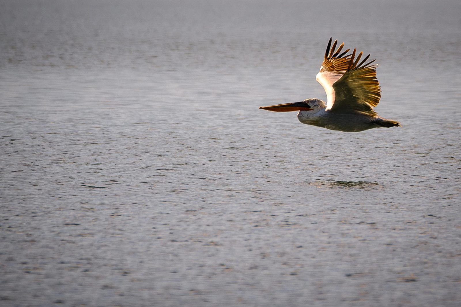
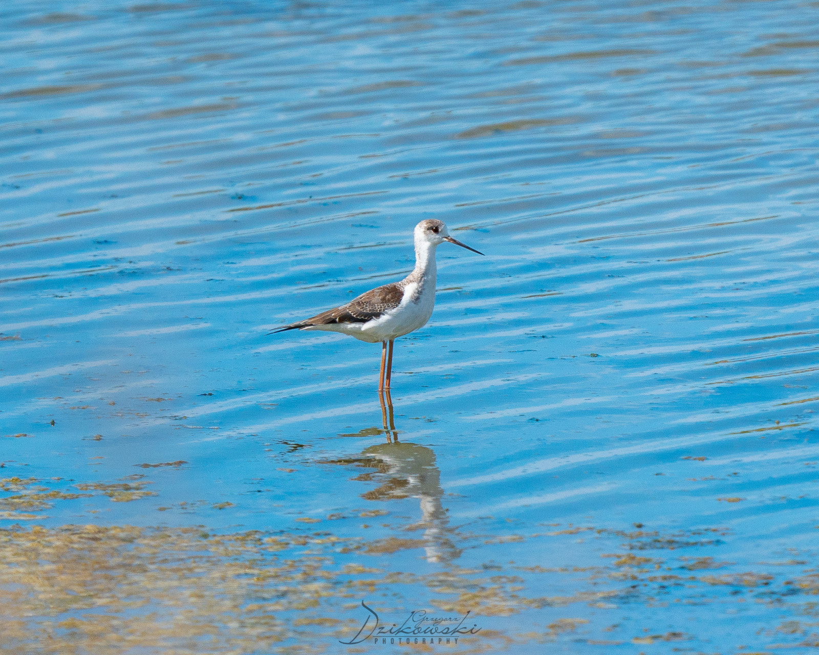
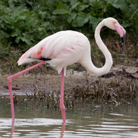
Narta Lagoon is situated within the boundaries of the Vjosa-Narta Protected Landscape and has been recognised as a Bird and Plant Area of international importance. As of May 2020, it is home to 3,000 Flamingo. It is formed by the constant accumulation of solid flow of the Vjosa River, which originates within the Pindus Mountains close to the border between Albania and Greece.
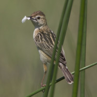
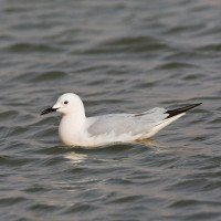
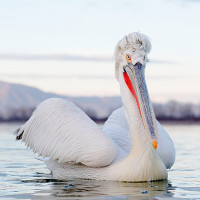
The lagoon is named after the village of Nartë, which is found on the lagoon's southern shores. Within the lagoon, there are two islands located, with Zvërnec Island being the largest. A wooden footbridge connects mainland to the island, where a 13th-century monastery is located. At least 34,800 wintering birds can be counted on the lagoon.
Details
Toegang
Narta Lagoon is easily accessible by car. Make several stops along the road and watch birds from the car to take nice pictures. Scan the saltpans from the road. Click on the P in the map for directions or coordinates. The route indicated on the map is about 19 km.
Terrein en leefgebied
Bos , Wetland , Vlakte , Steppe , Meer , Strand , Slikken , Landbouw , Verspreide bomen en struiken , Grasland/weide , Zee , Duinen , Rietvelden , Stad/dorpOmstandigheden
Vlak , Nat , Zanderig , Droog , Open landschapRondlopende wandeling mogelijk?
JaTelescoop meenemen?
JaWanneer hier vogels kijken?
Het hele jaarToptijd voor dit gebied
Voorjaarstrek , NajaarstrekRoute
Verharde weg , Onverharde wegZwaarte wandeling
GemiddeldToegankelijk via
Te voet , Fiets , AutoVogelkijkhut aanwezig?
JaExtra info
Photo Flamingos by Charles J. Sharp, CC BY-SA 4.0, https://creativecommons.org/licenses/by-sa/4.0.
 ) om vogelnamen snel in te voeren via een aanklikbare lijst.