Beschrijving
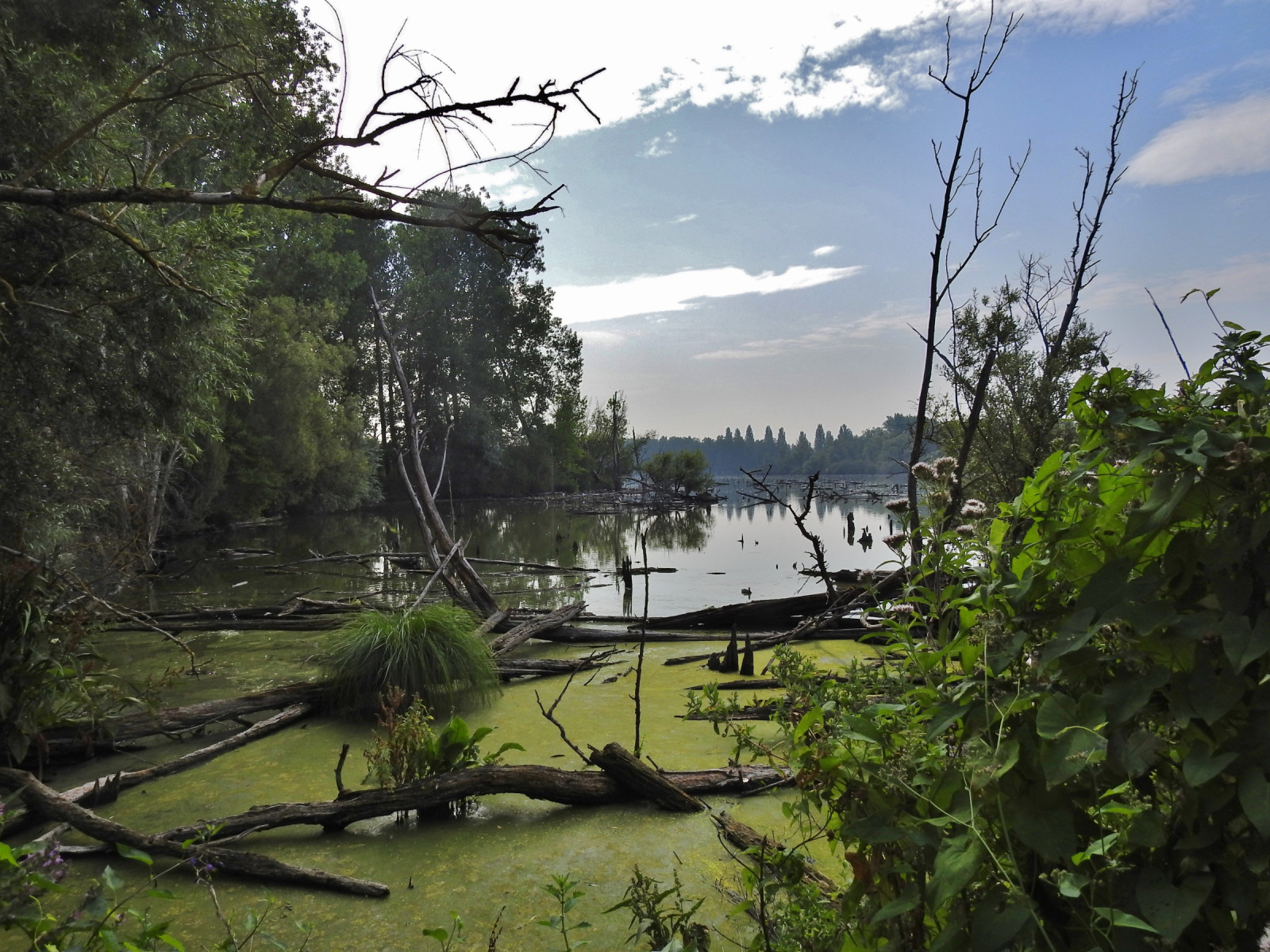
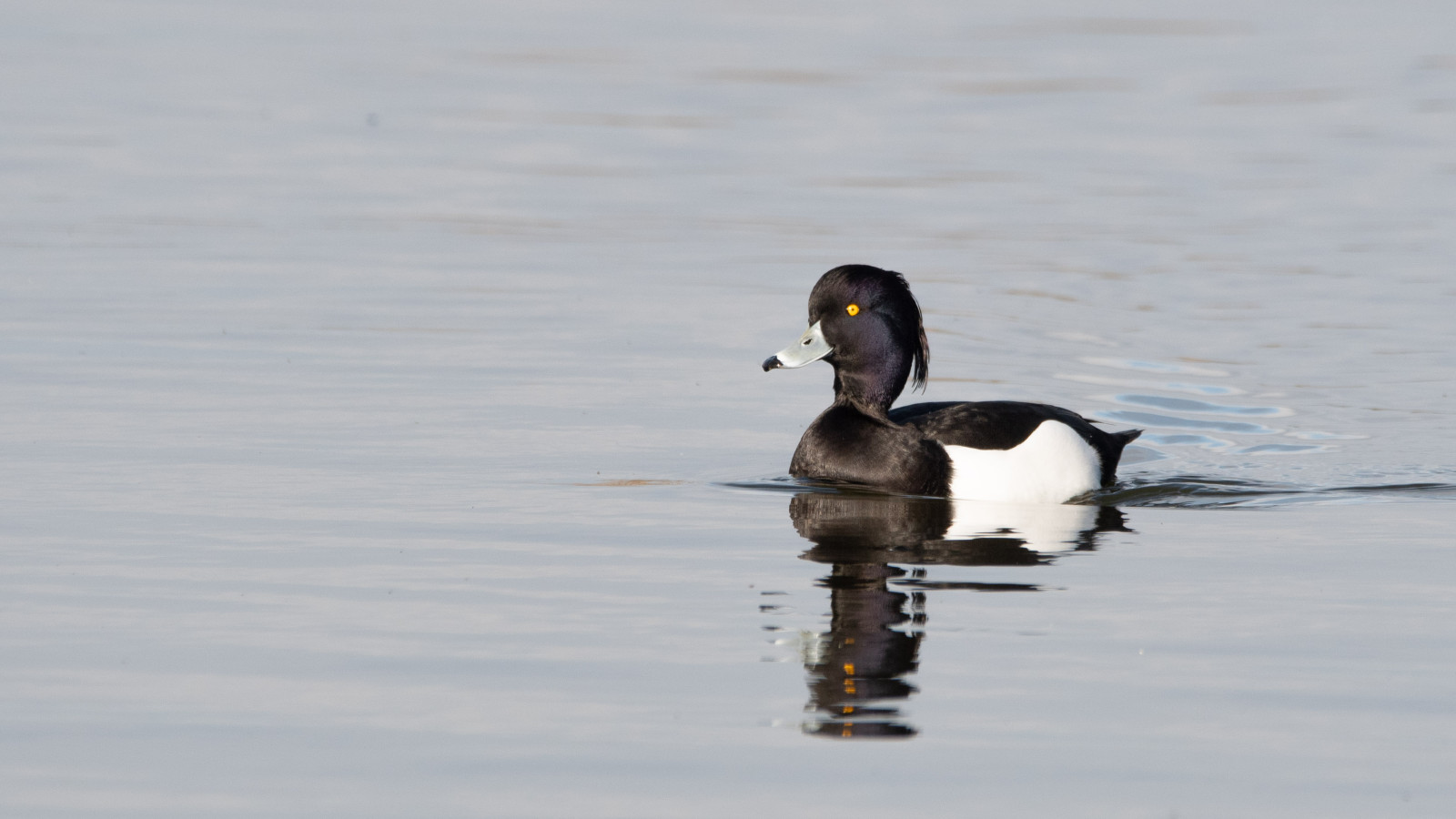
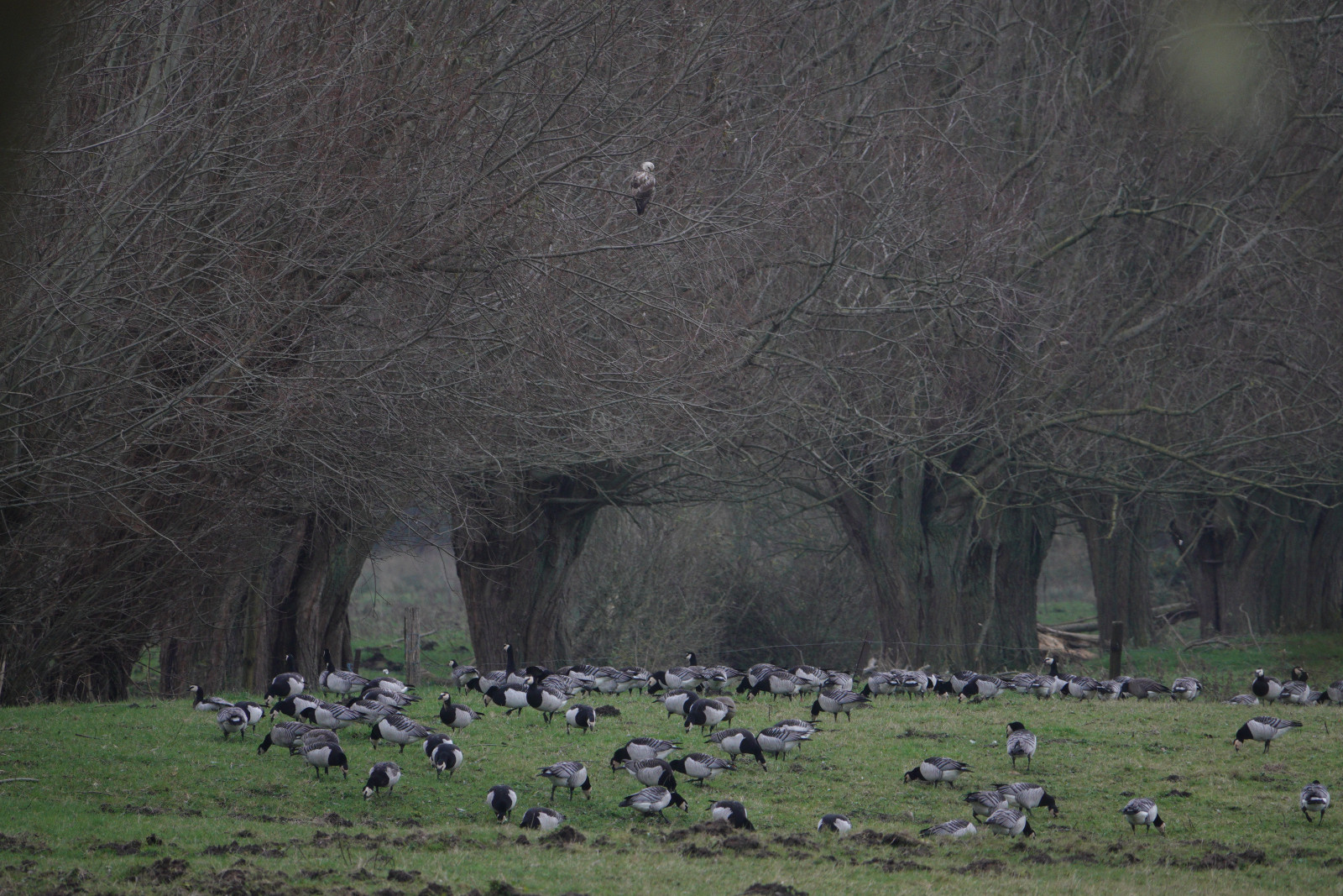
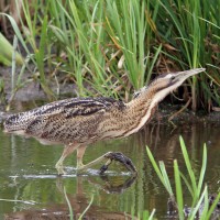
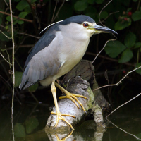
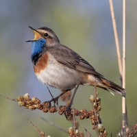
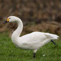
Les Marais d'Harchies consists of four large ponds, marshes, 24 hectares of reed beds and meadows with pollard willow. The wetland was created when subsidence from mining began to fill with water from the 1920s. Between 1968 and 1971, the marshes were drained for a construction project that failed, and the area was subsequently purchased for protection. As a result, they were refilled with groundwater and rainwater. The area now consists of a patchwork of ponds, marses and open meadows which offer ideal conditions and quietness for breeding birds. At the observatories, you may see: Grote Zilverreiger, Kleine Zwaan, Blauwborst, Kwak and Visarend.
Details
Toegang
Coming from Namur, Charleroi, Mons, take the 26th exit on the E42 highway "Dour, Pommeroeul". Follow signs Harchies, then CRIE d'HArchies boards. Coming from Tournai, Courtrai take the 27th exit on the E42 highway. Click on a P in the map to get directions to a parking place.
Terrein en leefgebied
Wetland , RietveldenOmstandigheden
Vlak , NatRondlopende wandeling mogelijk?
JaTelescoop meenemen?
Kan handig zijnWanneer hier vogels kijken?
Het hele jaarToptijd voor dit gebied
Voorjaarstrek , Winter , Lente , Herfst , NajaarstrekRoute
Onverharde wegZwaarte wandeling
GemakkelijkToegankelijk via
Te voet , FietsVogelkijkhut aanwezig?
JaExtra info
The trail marked on the map is about 7 km and leads you to all the best places.

 ) om vogelnamen snel in te voeren via een aanklikbare lijst.