Beschrijving
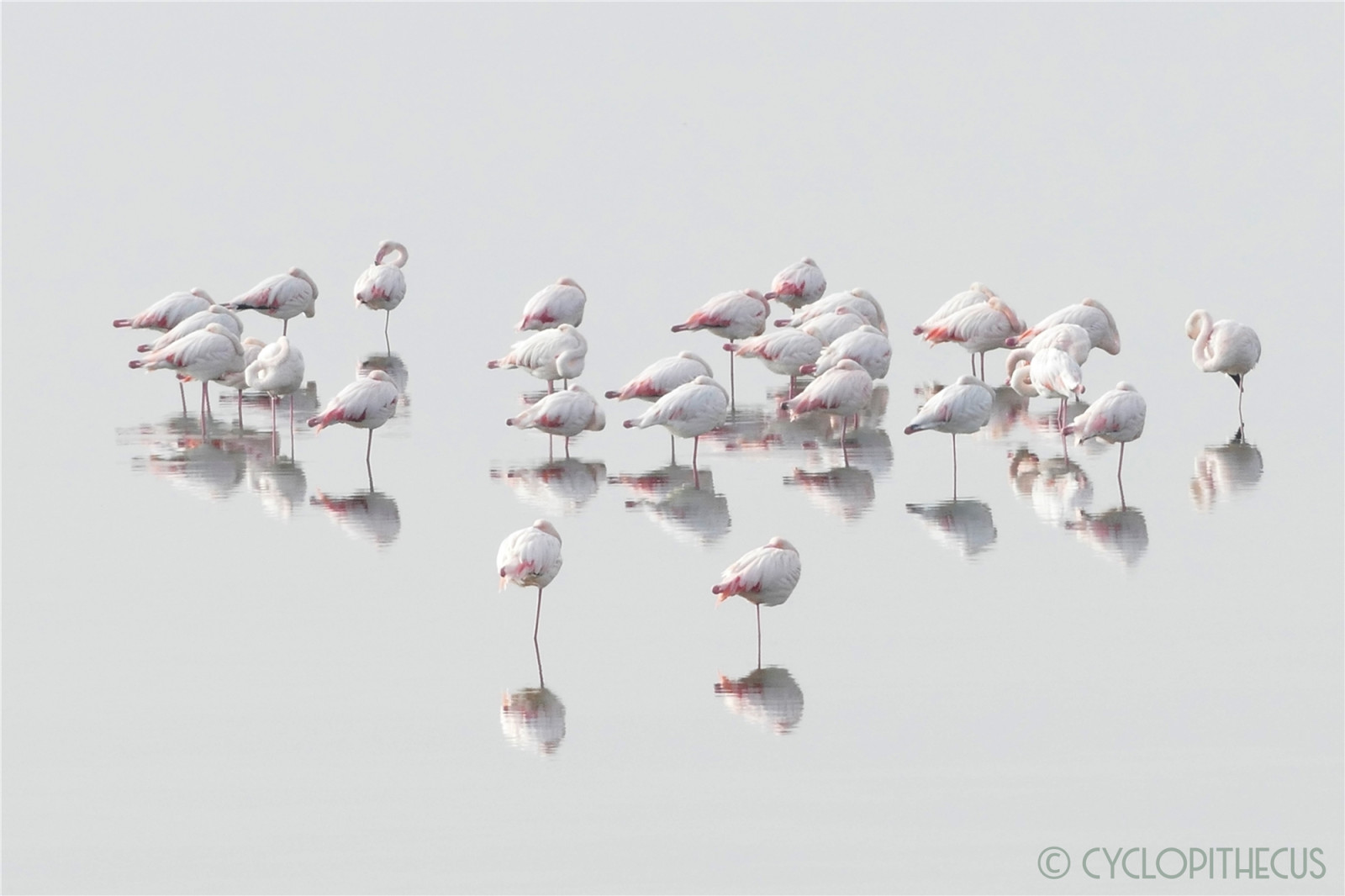
The Po Delta Park, a UNESCO World Heritage site, is the largest park in Emilia Romagna (approx. 60,000 hectares). It comprises a variety of habitats: forests, freshwater swamps and saltwater lagoons, rivers, salt flats and paddy fields, sandy coastlines, and dunes. With over 300 bird species identified in the last few decades, of which over 150 are nesting birds and over 180 are wintering birds, the Po Delta Park represents the most important ornithological site in Italy.
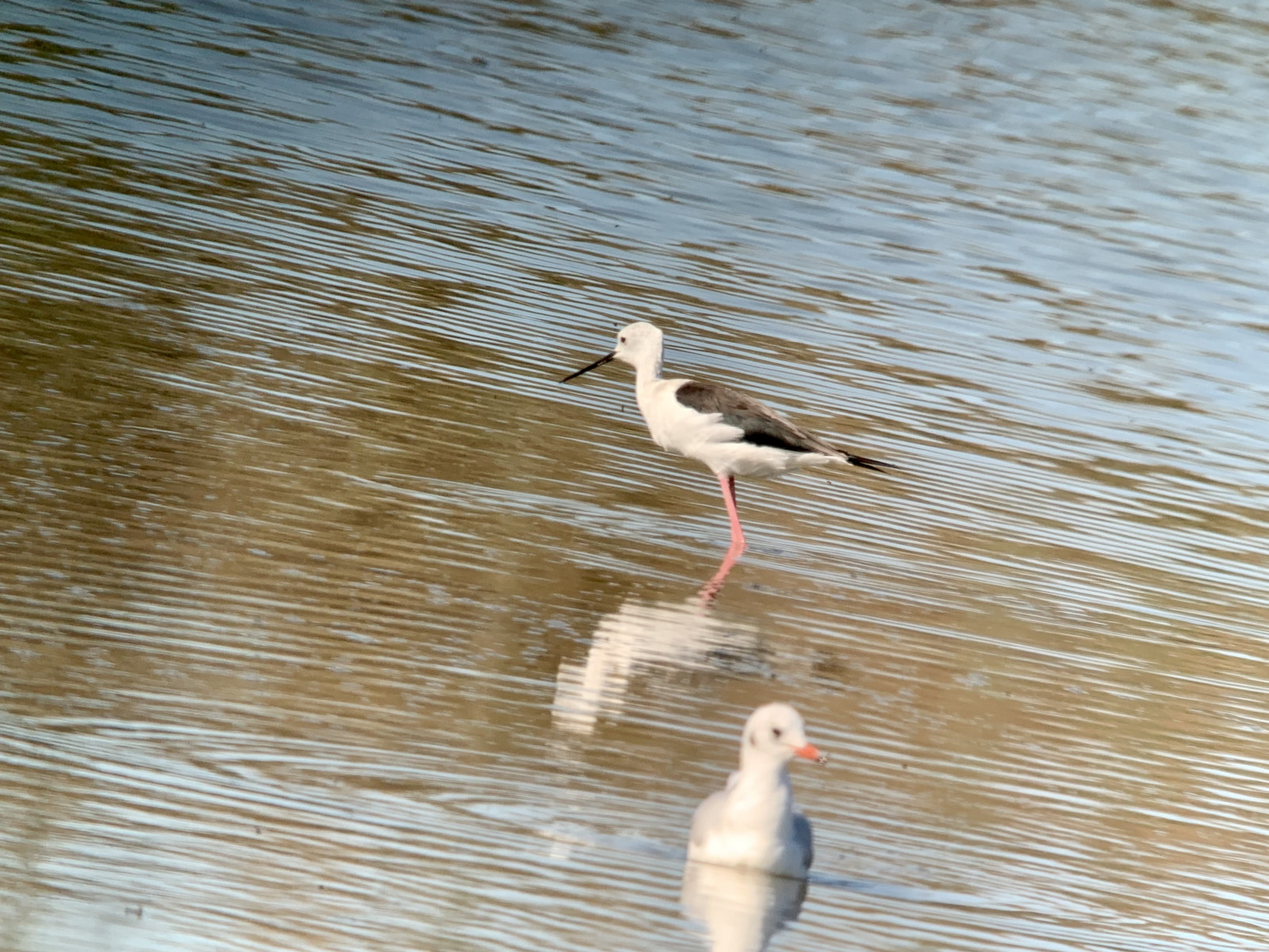
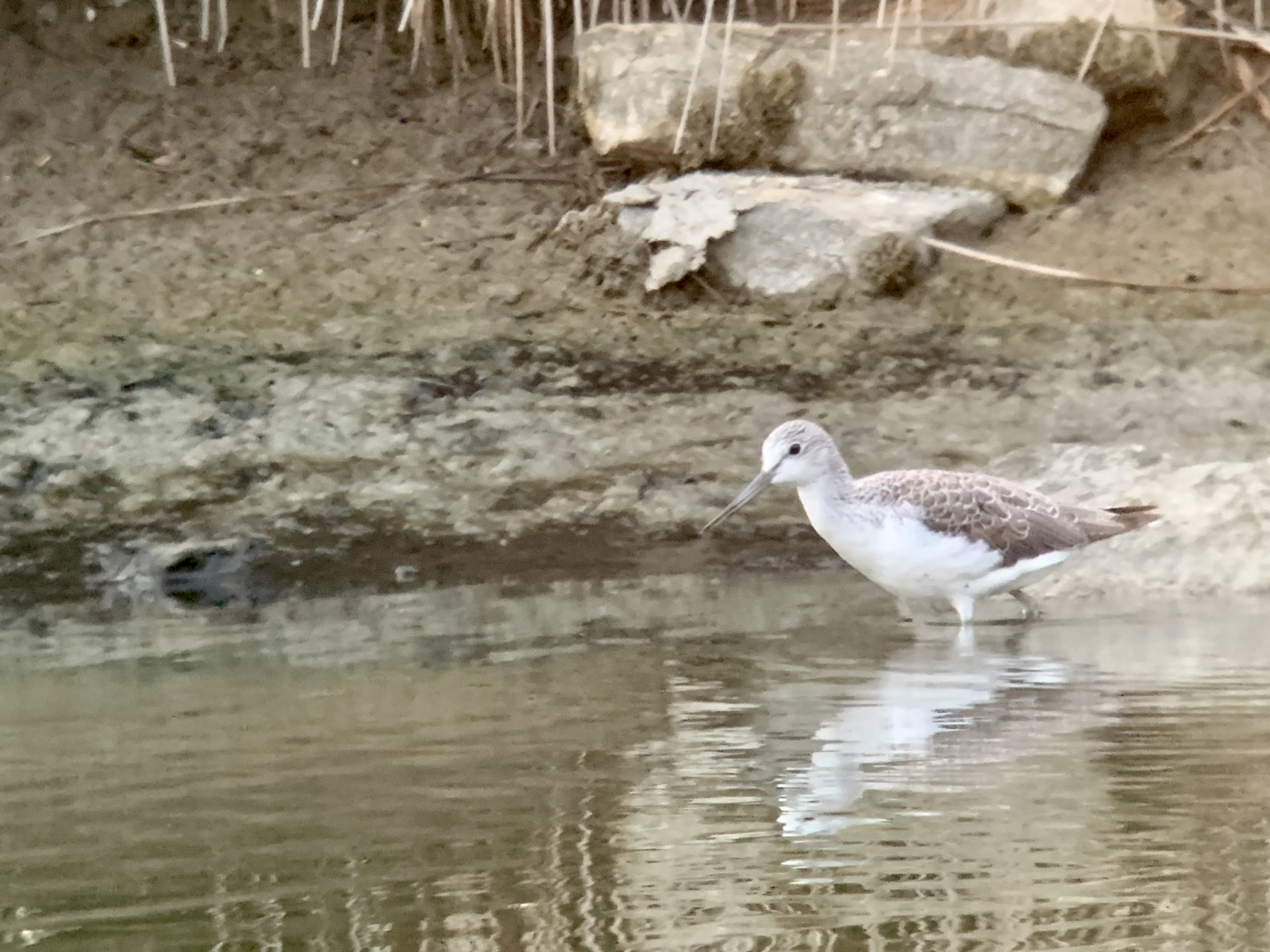
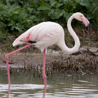
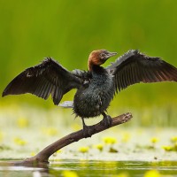
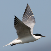
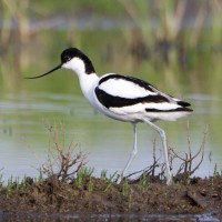
The Po Delta is best explored by bike over the dams. In summer Dwergaalscholver, Scharrelaar, Kluut, Flamingo, Steenuil and 6 species of tern, including Lachstern and Witwangstern, breed here. Many waders rest here during the autumn migration, and flocks of ducks overwinter in winter.
_________________________
Italiano: Il Delta del Po è una delle zone migliori in Italia per vedere i fenicotteri. In quest'area si trovano anche molti altri uccelli trampolieri e numerose anatre vi svernano.
Il parco, sito Patrimonio dell'Umanità UNESCO, è il più grande dell'Emilia-Romagna (circa 60.000 ettari). Comprende una varietà di habitat: foreste, paludi d'acqua dolce e lagune salmastre, fiumi, saline e risaie, coste sabbiose e dune. Con oltre 300 specie di uccelli identificate negli ultimi decenni, di cui più di 150 nidificanti e oltre 180 svernanti, il Parco del Delta del Po rappresenta il sito ornitologico più importante d'Italia.
Details
Toegang
You can go to Porte Levante by car or bike and spend the night there. There is also a campsite in the region. It's a big area where you can make many stops. The route that is shown on the map is 32 km. Click on a P in the map to get directions to a parking.
_________________________
Italiano: È possibile raggiungere Porto Levante in auto o in bicicletta e pernottarvi. Nella zona è presente anche un campeggio. Si tratta di un'area vasta che permette di effettuare numerose soste. L'itinerario indicato sulla mappa è di 32 km. Clicca su una "P" nella mappa per ottenere le indicazioni stradali per un parcheggio.
Terrein en leefgebied
Wetland , Meer , Strand , Slikken , Verspreide bomen en struiken , Rivier , Zee , Duinen , RietveldenOmstandigheden
Zanderig , Nat , Hoog water mogelijkRondlopende wandeling mogelijk?
JaTelescoop meenemen?
JaWanneer hier vogels kijken?
Het hele jaarToptijd voor dit gebied
Najaarstrek , Herfst , Zomer , Winter , VoorjaarstrekRoute
Verharde wegZwaarte wandeling
GemiddeldToegankelijk via
Te voet , Fiets , Rolstoel , AutoVogelkijkhut aanwezig?
JaExtra info
Note: an important piece of information if you want to save yourself a 30 km diversions: the ferry from Porto Levante only operates at weekends outside the tourist season.
_________________________
Italiano: Nota bene: un'informazione importante se vuoi risparmiarti una deviazione di 30 km: al di fuori della stagione turistica, il traghetto da Porto Levante è attivo solo nei fine settimana.
 ) om vogelnamen snel in te voeren via een aanklikbare lijst.