
Beschrijving
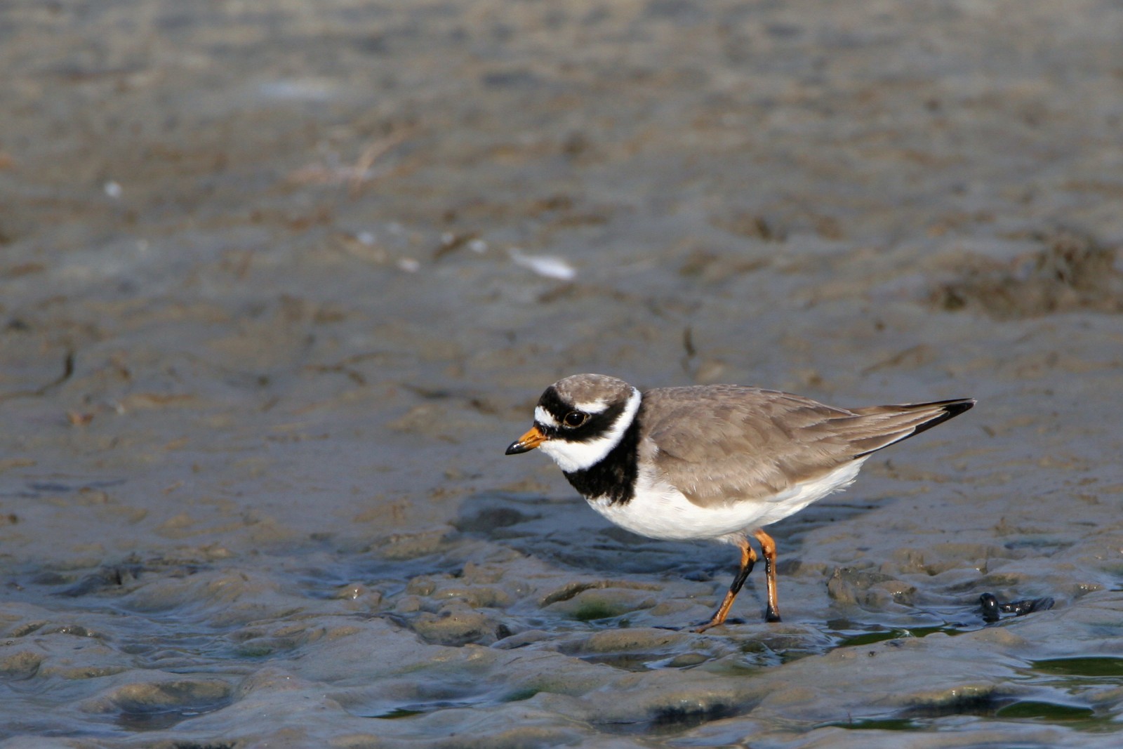
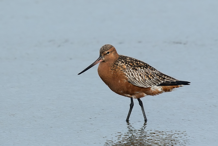
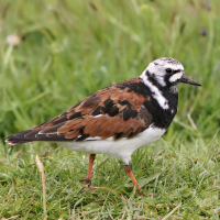
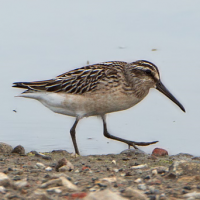
Langøyene is an island in the Oslo Fjord . The whole island area is a little over a kilometer from end to end. The interior is mostly open grassland with a few low hills, while the edges shift between sandy beaches, forest and rocky shoreline. Through the years, many species of birds has been recorded on Langøyene. The island has forest, but also a lot of open terrain and a shallow bay, which is a good spot to look for resting waders and ducks during migration.
Details
Toegang
Langøyene is located just south of Oslo in the Oslo Fjord. The island can be reached by ferry line no. B2 from City Hall Pier, which goes all summer and takes you to the east side of the island. The crossing itself is short, usually around fifteen minutes. When you step off the boat, you’re already in the middle of the landscape, since the islands are car‑free and everything is within walking distance. The total length of the walking route shown on the map is about 4 km.

 ) om vogelnamen snel in te voeren via een aanklikbare lijst.