Beschrijving
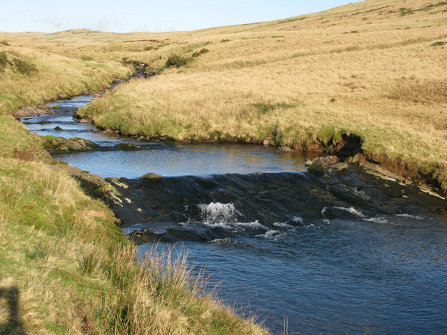
This rural road called Sarn Helen runs parallel to the Afon Llia (river Llia) for approximately 2 miles before descending steeply into a beautiful valley and ultimately crossing another small stream, the Afon Senni.
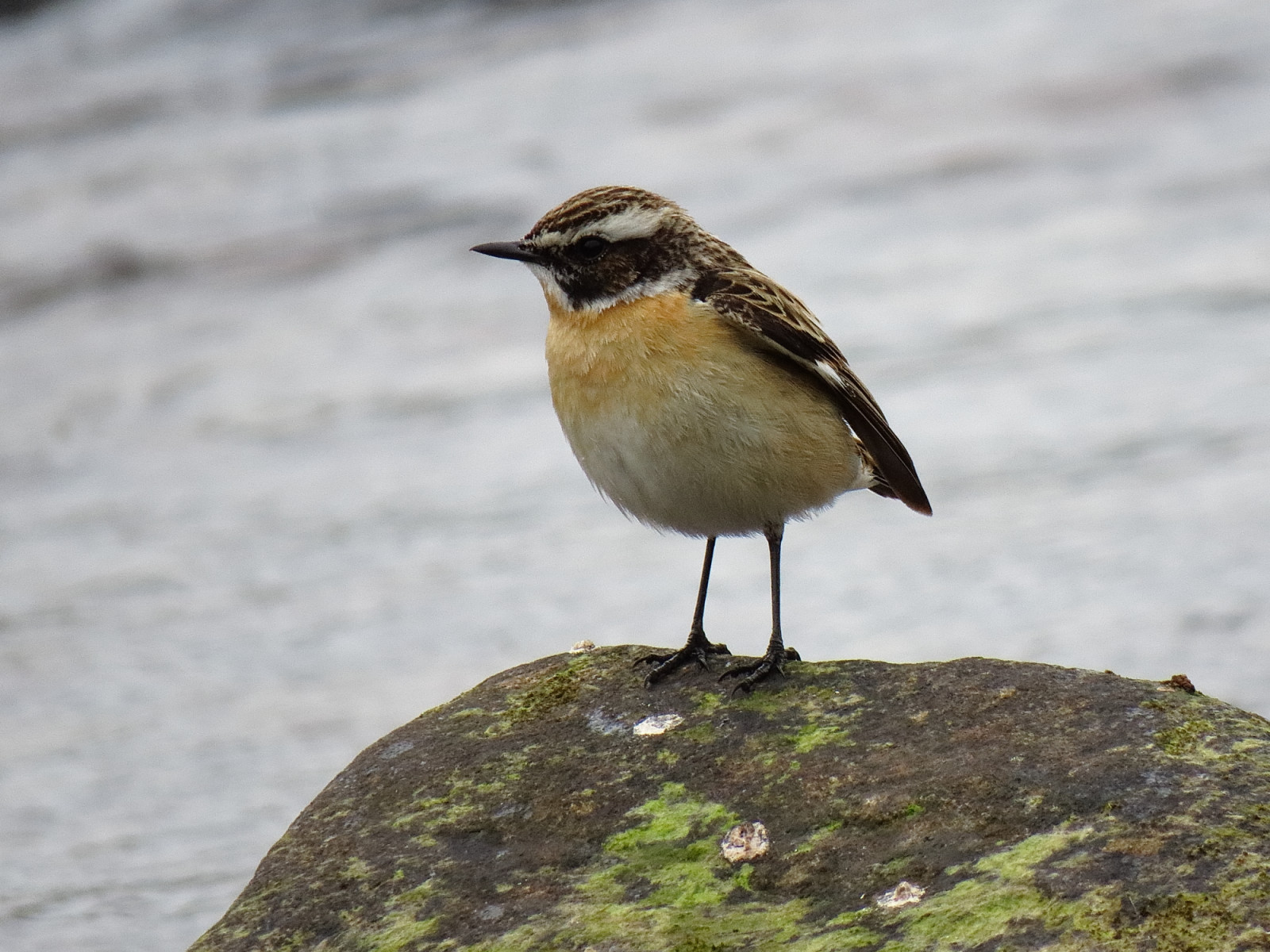
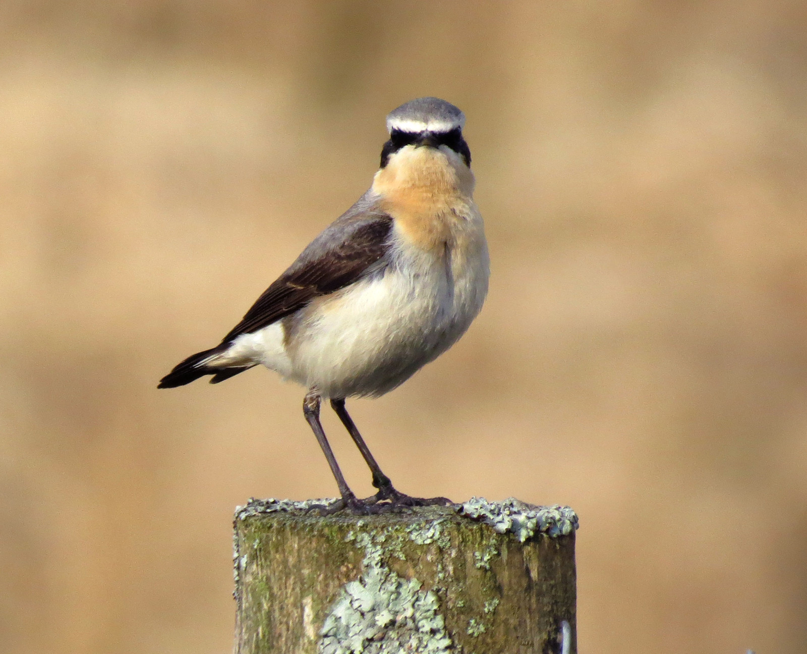
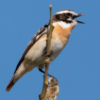
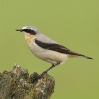
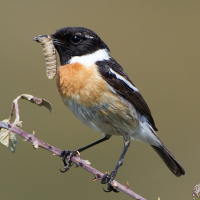
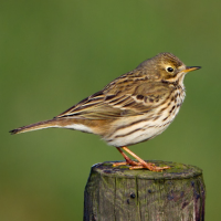
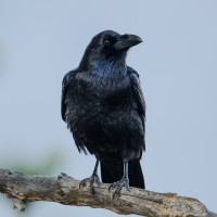
Because of its rural location, rough moorland terrain, altitude of ~400m and proximity to the stream, it is favoured by several species such as Tapuit, Paapje, Roodborsttapuit, Graspieper, Rode Wouw and Raaf. As you descend into the Senni Valley you are more likely to see Gekraagde Roodstaart, Bonte Vliegenvanger, Goudvink and Grote Gele Kwikstaart.
There is parking at various points along the route (shown on the map) but it is narrow in places so make sure your vehicle is off the road. Any point along the road could be productive but the section between the 2 cattle grids is usually good for the limited number of species that favour this environment. I have seen Oeverloper on the stream as well as Waterspreeuw.
The total route is 3 miles (4.8km) and estimated to take ~1hour 15 minutes to walk one way. Please be aware that the descent into the Senni Valley is steep and would require a good level of fitness to climb back on the reverse route: taking a car or bicycle would be less effort!
The spring and early summer are the best time to visit, although raptors and corvids are probably present at any time.
Details
Toegang
The River Llia (Afon Llia) is located in Brecon Beacons National Park. There are no known buses (there may be local, community transport), so a private vehicle is required. Press a P on the map for directions.
There is no obvious circular trail, but it may be possible to complete a circuit via local footpaths. However, this is a remote area, so careful planning, care and fitness would be required.
This is an 'average' walk apart from the steep road from the Senni Valley, should you choose to walk back up.
Terrein en leefgebied
Grasland/weide , Dal , Verspreide bomen en struiken , Berg , Veen/heide , RivierOmstandigheden
Heuvelachtig , Bergachtig , Geen schaduw , Open landschapRondlopende wandeling mogelijk?
NeeTelescoop meenemen?
Kan handig zijnWanneer hier vogels kijken?
Lente , ZomerToptijd voor dit gebied
Lente , NajaarstrekRoute
Verharde wegZwaarte wandeling
GemiddeldToegankelijk via
Te voet , Fiets , Auto , RolstoelVogelkijkhut aanwezig?
NeeExtra info
Like all upland areas, the weather in the Brecon Beacons is very changeable - plan accordingly!
 ) om vogelnamen snel in te voeren via een aanklikbare lijst.