Beschrijving
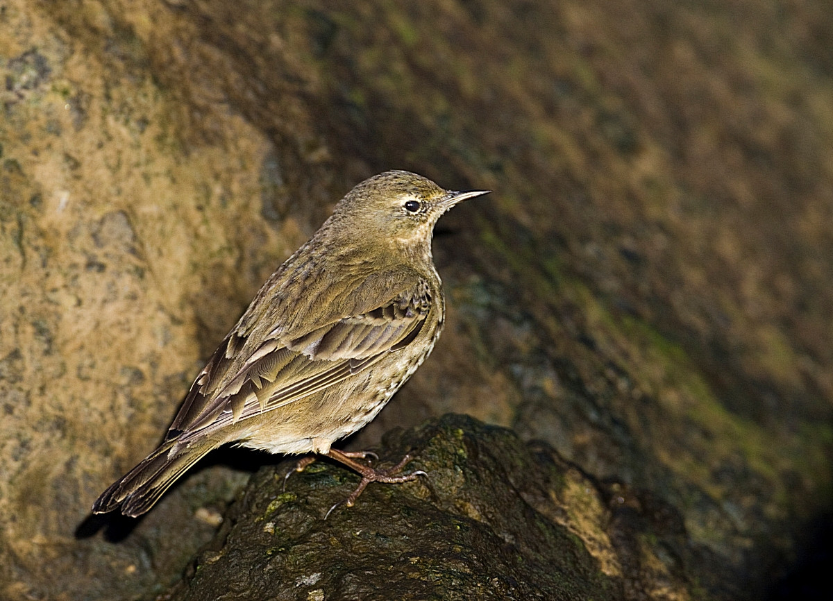
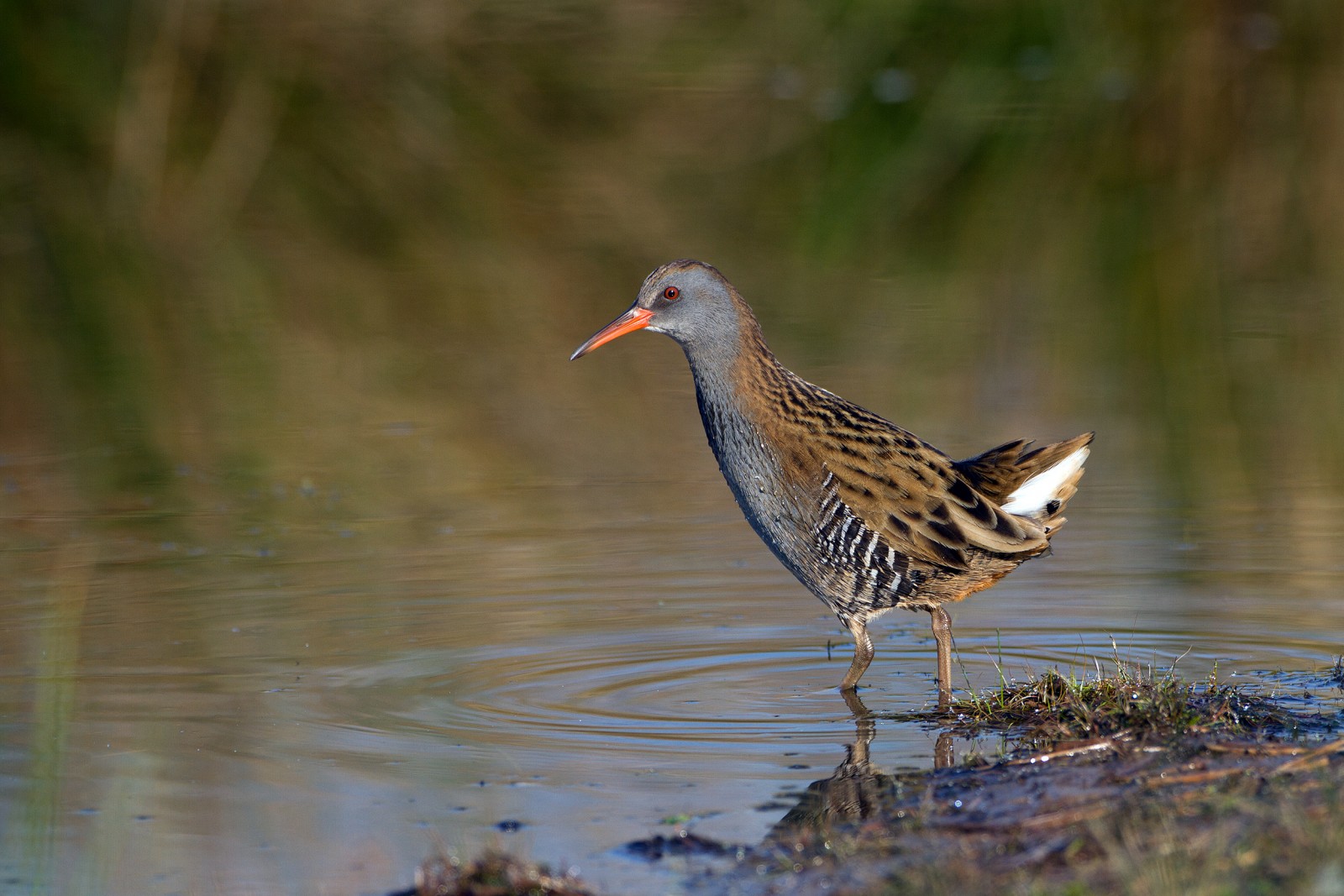
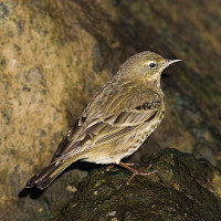
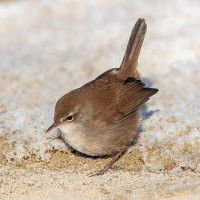
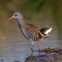
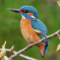
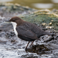
Charmouth is set amongst some of the highest sea cliffs on the South coast of England, some of which are over 600 foot high, the area is renowned for fossils and is part of the Jurassic Coast. The River Char runs through the village and has IJsvogel, Waterspreeuw and Grote Gele Kwikstaart. The shingle area at the mouth of the River had a Temmincks Strandloper in the past. The small area of reedbeds (Press STAR on map) between the seafront car parks, hold Rietgors, Kleine Karekiet and can have Waterral, Watersnip and the occasional Bokje. The car parks in this area can have a large pre-roost gathering of Rouwkwikstaart in late afternoons during Winter months, whilst Slechtvalk, Raaf, Roodborsttapuit and Oeverpieper are resident. On beaches waders are only to be found in smaller numbers Bontbekplevier, Scholekster and Steenloper being the most common.
WARNING. Due to erosion, cliff falls can happen at any time, walking near cliff edges and at the base of cliffs can be TREACHEROUS.
Details
Toegang
The A35 main road running from Honiton (far to the West) and Bridport (to the East), is just North of the site, if traveling from Honiton on A35 at Charmouth roundabout take second exit signed Charmouth. Continue on this road (Axminster Road), going downhill in Charmouth turn Right into Lower Sea Lane signed Beach/Heritage Coast Centre/Car Parks, continue on this road to numerous seafront car parks (Fee Payable). If traveling from Bridport on A35, turn Left at sign for Charmouth/Catherston/Leweston/Wootton Fitzpaine, on this road called Berne Lane on entering Charmouth the road starts to climb, on passing shops turn Left (just pass light controlled pedestrian crossing) into Lower Sea Lane signed Shoppers Car Park/Toilets/Beach/Heritage Coast Centre, car parks are near beach at end of this road.
 ) om vogelnamen snel in te voeren via een aanklikbare lijst.