
Beschrijving
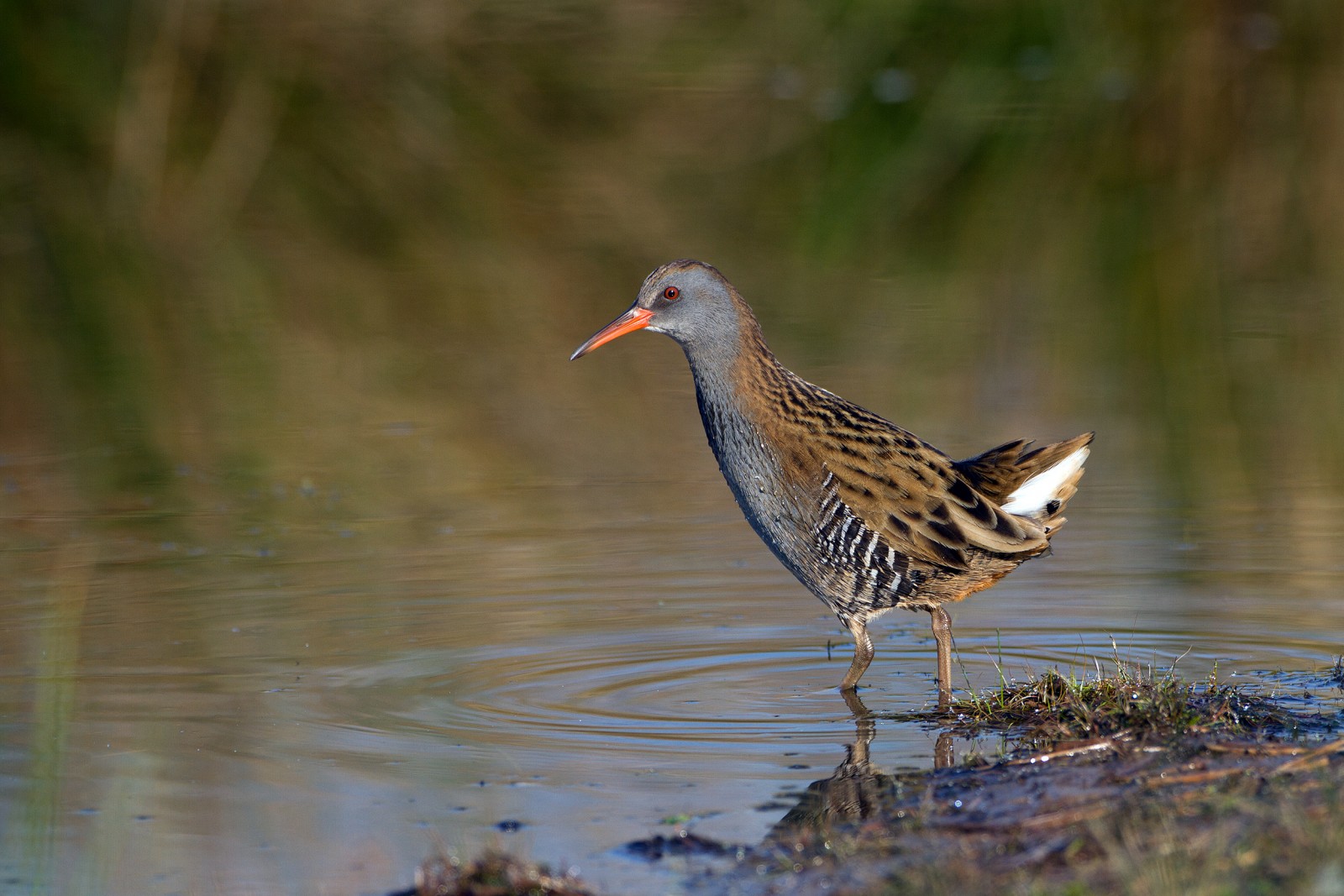
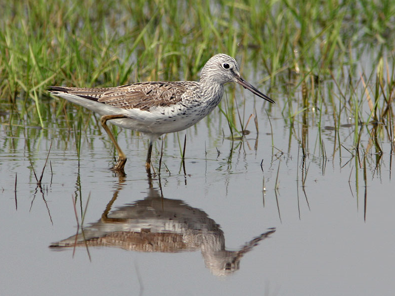
The Estuary runs roughly North East to South West with the village of Averton Gifford at it's head and Bantham at it's mouth, during the Autumn of 2020 a Kleine Geelpootruiter spent some time on the upper estuary and saltmarsh, so rarities can be expected. On the Northern edge of the estuary is a TIDAL ROAD that runs East to West, further North is farmland with minor roads and footpaths that make a good circular walk.
Details
Toegang
From Plymouth take the A379 Eastward, passing through Brixton, Yealmpton and Modbury. The road eventually turns more Southerly and arrives at Averton Gifford, where there is a car park/boat park on the right just before the bridges.
Terrein en leefgebied
Verspreide bomen en struiken , Bos , Wetland , Grasland/weide , Dal , Rivier , Zee , Rietvelden , Stad/dorp , Landbouw , Slikken , StrandOmstandigheden
Vlak , Heuvelachtig , Open landschap , Hoog water mogelijk , Glad , NatRondlopende wandeling mogelijk?
JaTelescoop meenemen?
JaWanneer hier vogels kijken?
Het hele jaarToptijd voor dit gebied
Voorjaarstrek , Najaarstrek , Winter , Zomer , Lente , HerfstRoute
Verharde weg , Breed pad , Smal padZwaarte wandeling
GemiddeldToegankelijk via
Te voet , Fiets , AutoVogelkijkhut aanwezig?
JaExtra info
BEWARE OF HIGH TIDE on the TIDAL ROAD. Rather than do the long circular walk on Northern farmland take short cuts to save time.


 ) om vogelnamen snel in te voeren via een aanklikbare lijst.