Beschrijving
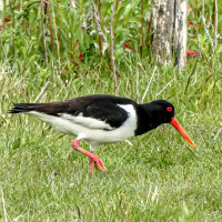
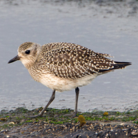
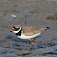
The area immediately North of the Torpoint Ferry (car/bus/pedestrian), can be divided into two distinct areas, the first is two areas of mudflats (called lakes locally) about the size of 4 football pitches at low tide and second a park area with grassland,woodland and allotments.
Details
Toegang
The Torpoint Ferry (technically a floating bridge) crosses the River from the City of Plymouth, on leaving the ferry there is a one way system towards the left, there is ample on street parking available. On site the start of the walk is on a raised walkway, that eventually turns to sandy and then seaweed covered rocks along Gravesend Lake/Gravesend Hard (point) and Thankes Lake, eventually you get to Thankes Park that has open grassland and woodland walks.
Terrein en leefgebied
Bos , Grasland/weide , Rivier , Zee , Slikken , Strand , Verspreide bomen en struikenOmstandigheden
Vlak , Nat , Rotsachtig , Hoog water mogelijk , GladRondlopende wandeling mogelijk?
JaTelescoop meenemen?
JaWanneer hier vogels kijken?
Het hele jaarToptijd voor dit gebied
Winter , Lente , Herfst , Najaarstrek , VoorjaarstrekRoute
Verharde weg , Breed pad , Smal padZwaarte wandeling
GemiddeldToegankelijk via
Te voetVogelkijkhut aanwezig?
NeeExtra info
BE WARNED, after the raised walkway runs out, the remaining walk on sandy/rocky/slippery areas is below the high tide point, please check high tide times before. Plus the line of 4 STARS on map indicates the moorings (called Trots here) that are good for resting Terns.

 ) om vogelnamen snel in te voeren via een aanklikbare lijst.