
Beschrijving
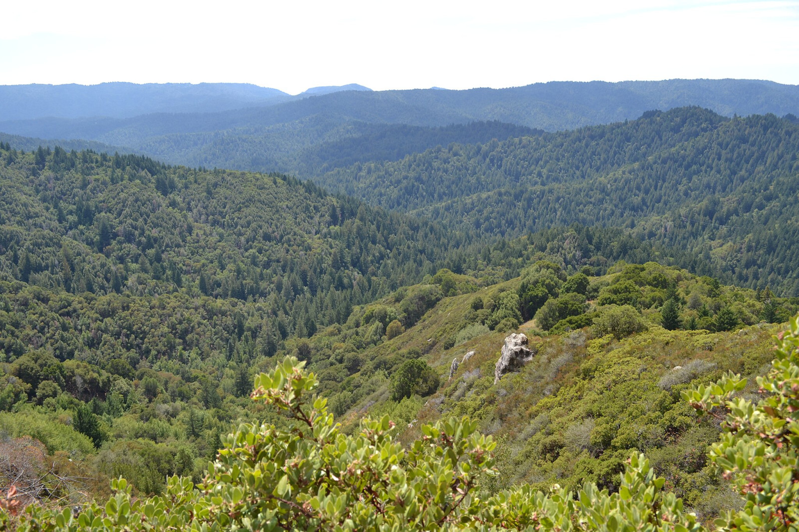
Castle Rock State Park sits along the crest of the Santa Cruz Mountains near Los Gatos and is known for its sculpted sandstone, lush forests, and sweeping vistas. The landscape feels rugged and wild, with narrow ridgelines, moss‑covered boulders, and pockets of redwoods and madrone. From one of the highest ridges in the Santa Cruz Mountains, park visitors enjoy hiking. Rock climbers explore the park's caverns and rocks, including the namesake Castle Rock. Plant-lovers come for California black oaks, knobcone pines, and high-elevation coast redwoods. The park’s 34 miles of rugged trails conveniently connect to an extensive trail system that links the Santa Clara and San Lorenzo valleys to nearby Big Basin Redwoods State Park and open space preserves on the Skyline to the Sea Trail.
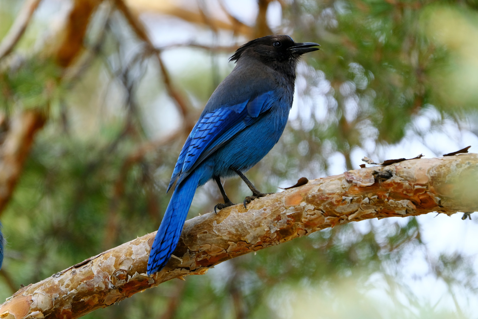
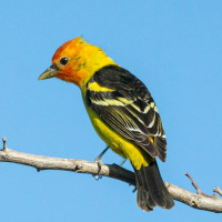
The bird life is particularly varied in spring and early summer and includes some high-elevation specialties. Birds you can observe include Pileated Woodpecker, Acorn Woodpecker, Hermit Warbler, Wilson's Warbler, Yellow-rumped Warbler, Black-throated Gray Warbler, Golden-crowned Kinglet, Orange-crowned Warbler, Cassin's Vireo, Black-headed Grosbeak, Steller's Jay, California Scrub-Jay and Western Tanager.
Birding in the park may be quiet during the fall and winter, but it is a great place to search for irruptive species, such as Red Crossbill, Evening Grosbeak, Townsend's Solitaire (rare), and Clark's Nutcracker (rare and irregular). Regular winter visitors, such as Townsend's Warbler and Fox Sparrow are common.
Details
Toegang
Castle Rock State Park is located in the Santa Cruz Mountains of California, just west of Los Gatos and along Highway 35 (Skyline Boulevard), just 2 1/2 miles southeast of the junction with Highway 9. Easiest access is from the parking lots at Skyline Boulevard. Press a P on the map for directions. The circular walking route suggested on the map is about 3 miles.


 ) om vogelnamen snel in te voeren via een aanklikbare lijst.