Description
A former opencast coal mine, the fields are grazed in the autumn and winter to maintain the value of the habitat. A public footpath runs between the lake and fields leading to two bird hides, one facing north and one facing south, then beyond to the ruins of Chibburn Preceptory.
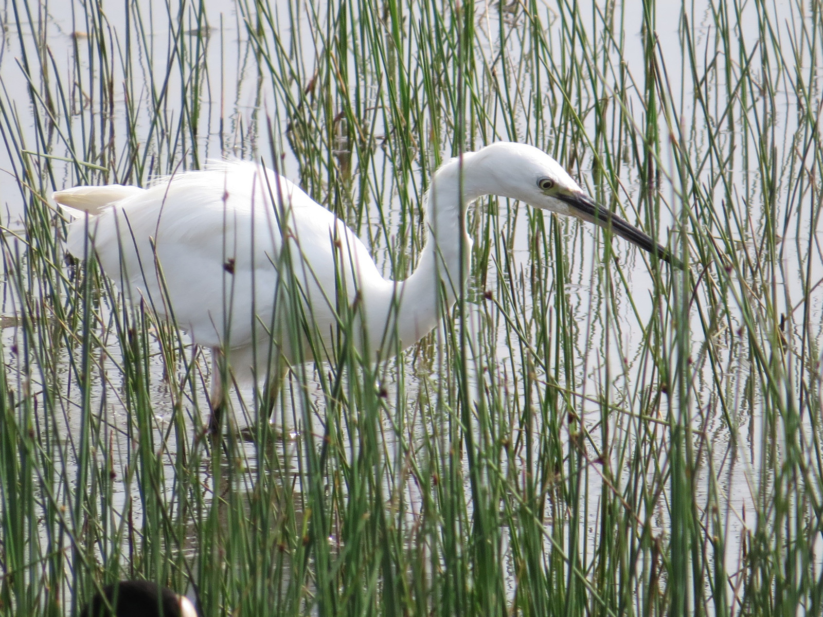
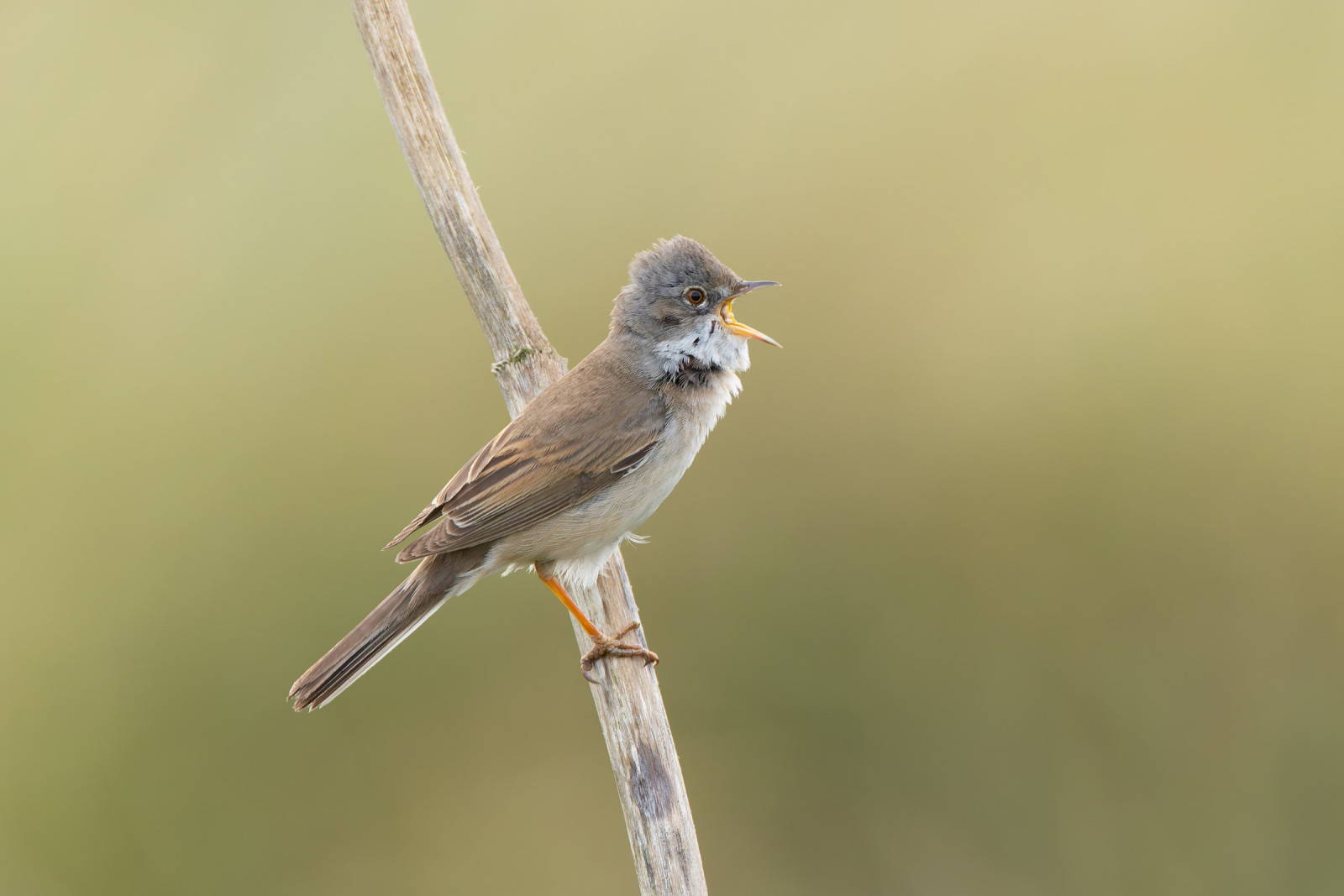
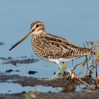
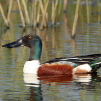
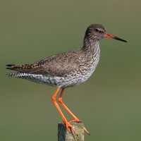
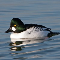
The deep lake to the north provides an opportunity to catch a glimpse of Otter, while wading birds feed along the shores, and Kvinand and Toppdykker use the water. The two wet fields to the south support large flocks of wintering wildfowl, mostly Brunnakke and Krikkand, and in spring, Knekkand as well as Snadderand and Skjeand; they are very good feeding sites for waders including Enkeltbekkasin, Rødstilk, Svarthalespove, Grønnstilk, and others; Skjestork has also become regular in recent years, and scan for Vannpiplerke in winter. In autumn, check the bushes and shelterbelts after east winds for species like Gulbrynsanger and Rødtoppfuglekonge as well as numerous Fuglekonge and Grønnsisik.
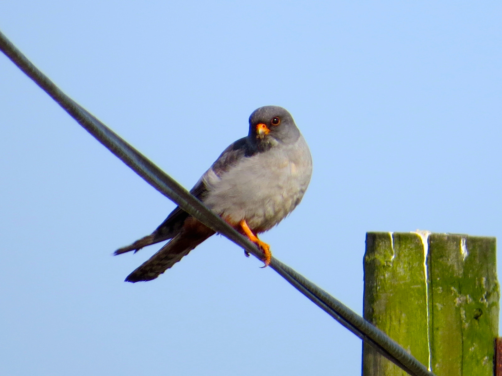
Numerous rarities have occurred, including Fjellmyrløper, Svømmesnipe, Bronseibis, Aftenfalk, Rødstrupesanger and others, making it a popular location for bird watchers and wildlife photographers alike.
The dunes hold Gresshoppesanger and Svartstrupe as well as the more abundant Sanglerke and Heipiplerke. The highest dune, roughly in the middle of the bay, gives a good vantage point for scanning the sea; here you can often see Ærfugl, Svartand, Siland, Havsule, Smålom, Tyvjo, Lomvi, Lunde, and also Sandløper on the beach if there are not too many dog-walkers around. A telescope is useful for this.
Details
Access
There is roadside car parking at the adjacent National Trust Druridge Links site. Access is from a minor road running alongside Druridge Links and through a wide gap onto a level grass path. A further entrance gives access to a viewing area on another grass path, 400m south, alongside the same minor road. There are two viewing hides, one with level access and one accessed by four steps. There is also a viewing platform at the southern end of the reserve which is accessed by three broad steps.
There are access points leading to a screen overlooking the southern fields and along the public right of way through the centre of the site. The terrain is level and flat, but paths can be wet and muddy.

 ) to insert bird names in your own language. The birdnames will automatically be translated for other users!