Opis
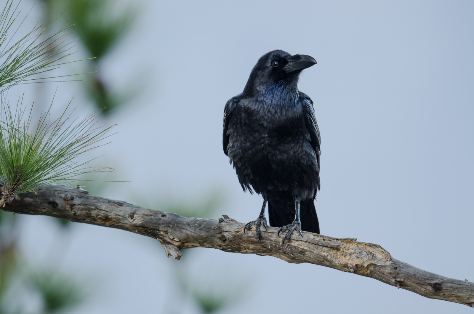
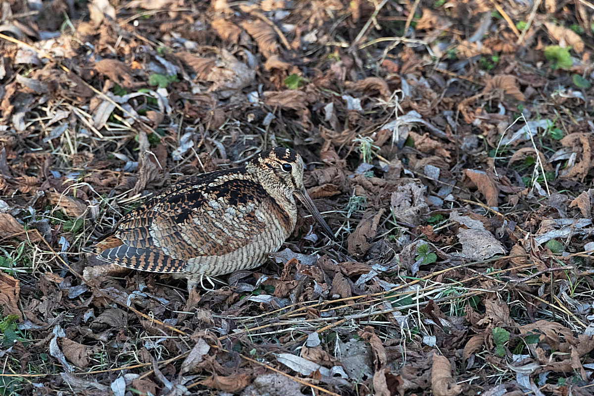
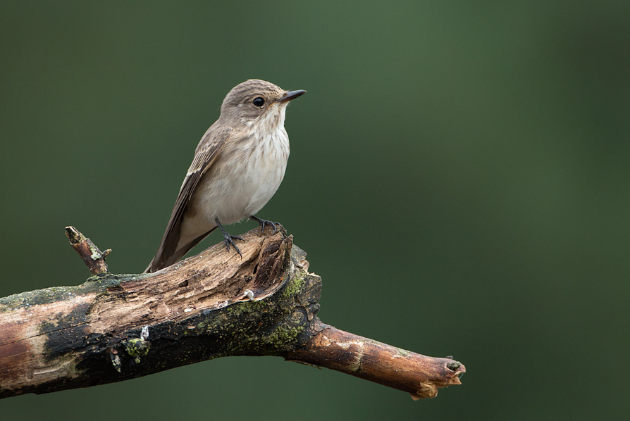
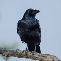
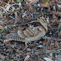
The Poppels Overbroek is a hidden gem where 700 different plant and animal species have already been observed. It opened to visitors in 2022. The site covers approximately 65 hectares and is developing into a mosaic of forest, heathland and wetlands. One of the highlights is the partially cleared historic pond. kruk has already been observed in the area, as has the dzięcioł średni.
_________________________
Nederlands: Poppels Overbroek is een voormalig jachtgebied en niet zo ver van de Liereman, een verborgen pareltje waar al 700 verschillende planten- en diersoorten werden waargenomen. Het werd in 2021 aangekocht door Natuurpunt en in 2022 opengesteld voor bezoekers. Het terrein beslaat ongeveer 65 hectare ontwikkelt zich tot een mozaïek van bos, heide en natte zones die een ecologische verbinding vormen tussen het Nederlandse Landgoed De Utrecht en de Belgische Rovertsche Heide. Een van de hoogtepunten is het reeds gedeeltelijk vrijgemaakt historisch ven en de bosaanplant door enkele bedrijven en het publiek (uitgevoerd in het najaar van 2022). Er is gestreefd naar de grootst mogelijk diversiteit in bomen en struiken. De kruk werd hier al waargenomen en ook de dzięcioł średni.
Szczegóły
Dostęp
Poppels Overbroek is located near the village of Poppel, close to the Dutch border, in Belgium (address: Overbroek 35, Poppel). There is no official parking, but there are plenty of streets nearby. Press P on the map for directions to the starting point. The circular walk shown on the map is approximately 3.5 km.
_________________________
Nederlands: Poppels Overbroek ligt bij het dorp Poppel vlak bij de Nederlandse grens, nog net in België (adres: Overbroek 35, Poppel). Er is geen parking maar genoeg straten in de buurt om te parkeren. Druk op P in de kaart voor een routebeschrijving naar het beginpunt. De rondwandeling die is weergegeven op de kaart is ongeveer 3,5 km.
 ) aby wstawić nazwy ptaków w swoim języku ojczystym. Nazwy ptaków zostaną automatycznie przetłumaczone dla innych użytkowników!