Opis
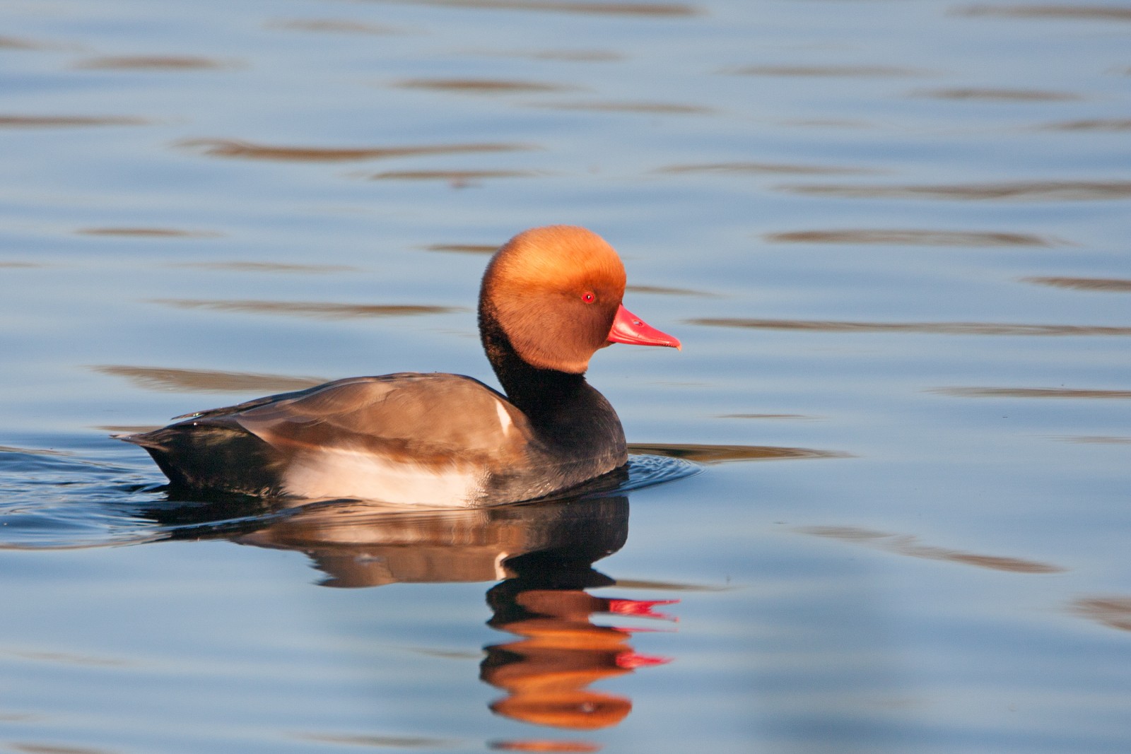
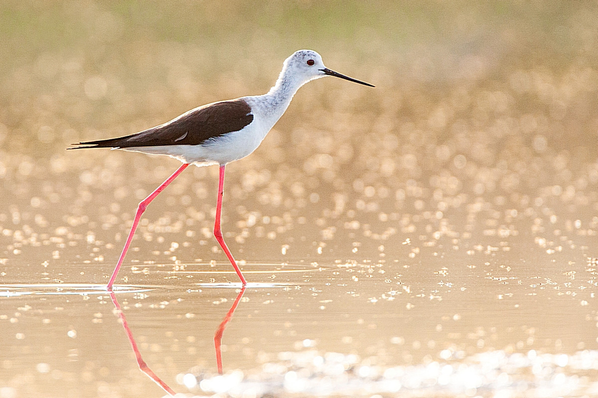
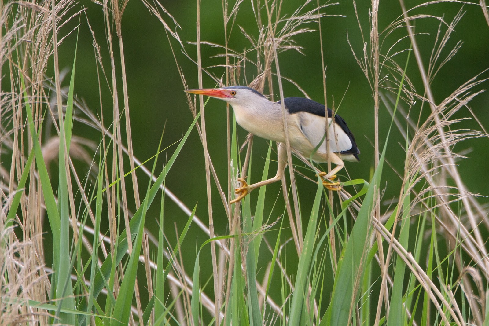
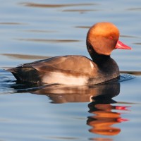
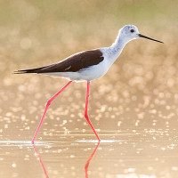
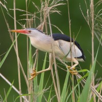
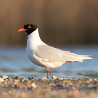
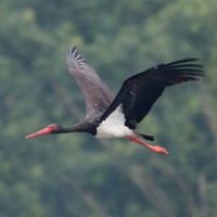
"Mutěnické rybníky" (ponds) is a fishery which is still in operation. It is a system of ponds and canals with typical shallow waters, connected by field roads. The area is ideal for waders, herons, gulls, grebes and ducks. Birds you can observe include szczudłak, szablodziób, podróżniczek, kazarka rdzawa, bocian czarny, bielik, łyska, cyranka, głowienka, hełmiatka, ślepowron, bączek, trzciniak, łęczak, batalion, mewa czarnogłowa, kormoran mały and others.
If you wish to prolong your stay and take a bit of a walk, "Hodonínske rybníky" – Hodonín fishery ponds – located lower on the south offer another birdwatching location, although less common. Species include numerous gęgawa, czapla biała, perkozek and occasionally also kania ruda or bielik. With a bit of luck you will encouter also orzeł cesarski.
If you still wish to stay in the area, both ponds are enclosed by unique forest types – northern "Mutěnické rybníky" by "Hodnínska Dúbrava", oak forest grown on sand dunes, and southern "Hodonínske rybníky" by National Reserve Stupava with mixed tree types. Birds found here include a few pairs of Trzmielojad, but also common species such as dzięcioł zielony, dzięcioł duży, dudek and wilga (zwyczajna).
Szczegóły
Dostęp
"Mutěnické rybníky" are located directly east of the town of Mutěnice, not far from Hodonín and Czecho-Slovak borders. Parking is possible for a few cars, access by a narrow road. Press P on the map for directions. Mind to be polite to the owners of the fishery. Public transportation only goes to Mutenice, but from the train station (1) it is an easy 1 km walk to the area. Cycling could also be a good option, however keep in mind the terrain – paths are mostly dirt, gravel or grass. Two hours should be enough for a visit. The circular walking route shown on the map is around 3 km, a full circuit including the southern ponds of Mutěnice would equal to around 6,5 km.
 ) aby wstawić nazwy ptaków w swoim języku ojczystym. Nazwy ptaków zostaną automatycznie przetłumaczone dla innych użytkowników!